DALLAS — First and foremost: The latest forecast on North Texas winter weather chances can be found here.
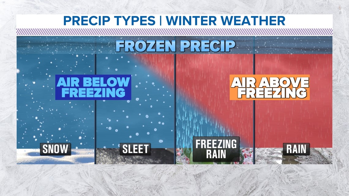
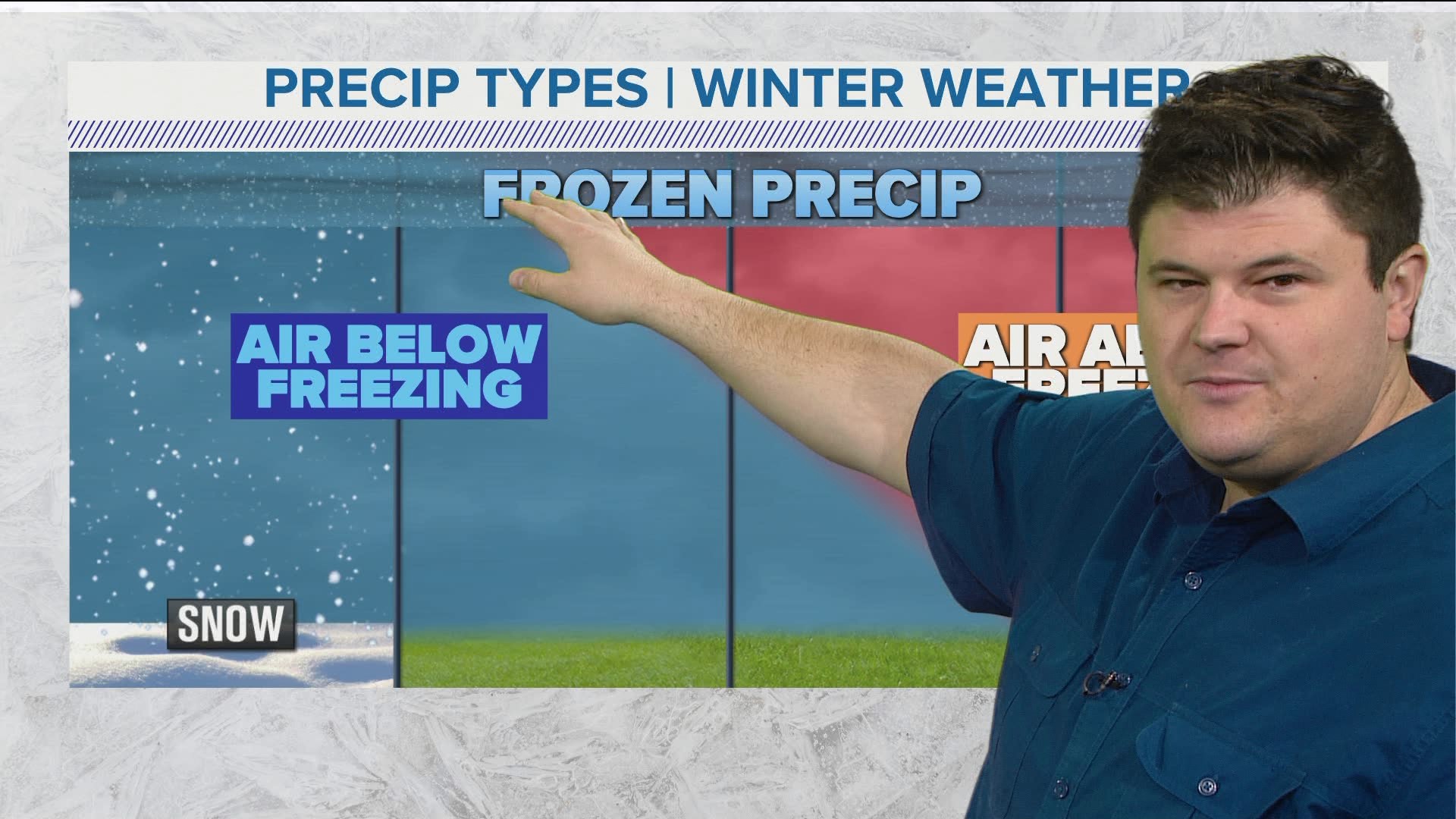
With a chance of freezing rain, sleet and snow in the forecast this week, it's important to know the difference between all of them.
Let's start with sleet
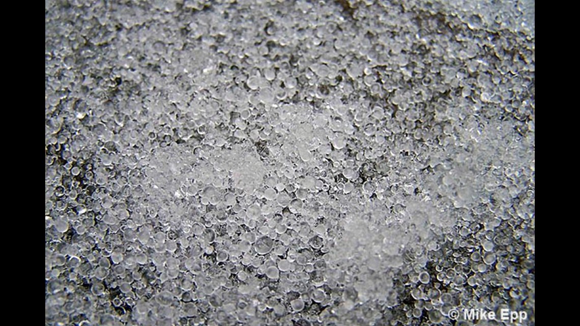
Sleet is defined as pellets of ice composed of frozen raindrops or refrozen, partially melted snowflakes. These pellets of ice usually bounce after hitting the ground or other hard surfaces. The big thing to remember? Sleet is already frozen when it reaches the surface. Here's what it looks like:


Sleet forms when rain or melted snow encounters a deep layer of freezing air before reaching the surface. The liquid falls through the freezing air and freezes into the little pellets of ice we know as sleet.
Freezing rain: it's the worst.
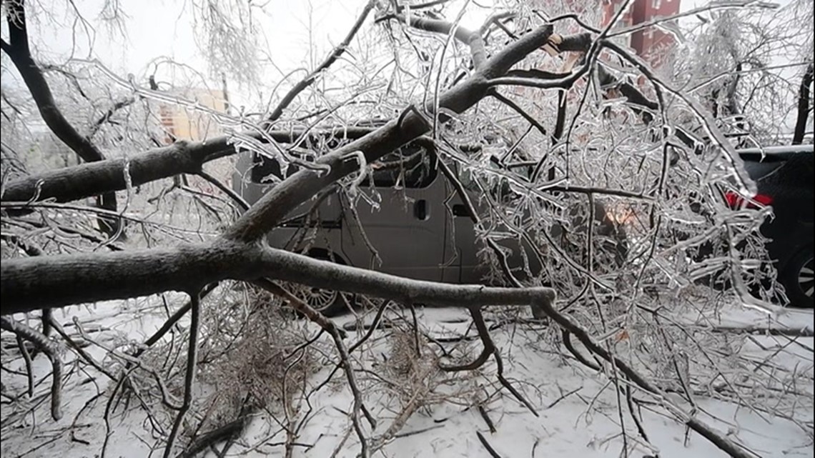
If there's one precipitation type you DON'T want, it's freezing rain. Simply put, freezing rain is rain that falls as a liquid but freezes into glaze upon contact with the ground. It sticks to roads, trees, cars, powerlines, etc.
It's also very heavy. Just 1/2" of freezing rain/ice can add up to 500 pounds to a power line. This can cause them to become damaged or even snap. Similar weight on trees will cause large branches to break.


Forecasting precipitation types in quickly evolving temperature profiles, is VERY difficult. Think about it... a ONE degree difference can be a gamechanger. It can literally be the difference between an icy mess and just a cold rain. Keep updated every day this week on our forecast.


