DALLAS — Make sure to wake up with Greg Fields on Daybreak and watch Pete Delkus on WFAA News at 10 before bed to get the latest forecast and timing.
EN ESPAÑOL: Tiempo en DFW: Alerta invernal para Texas
The precip has ended
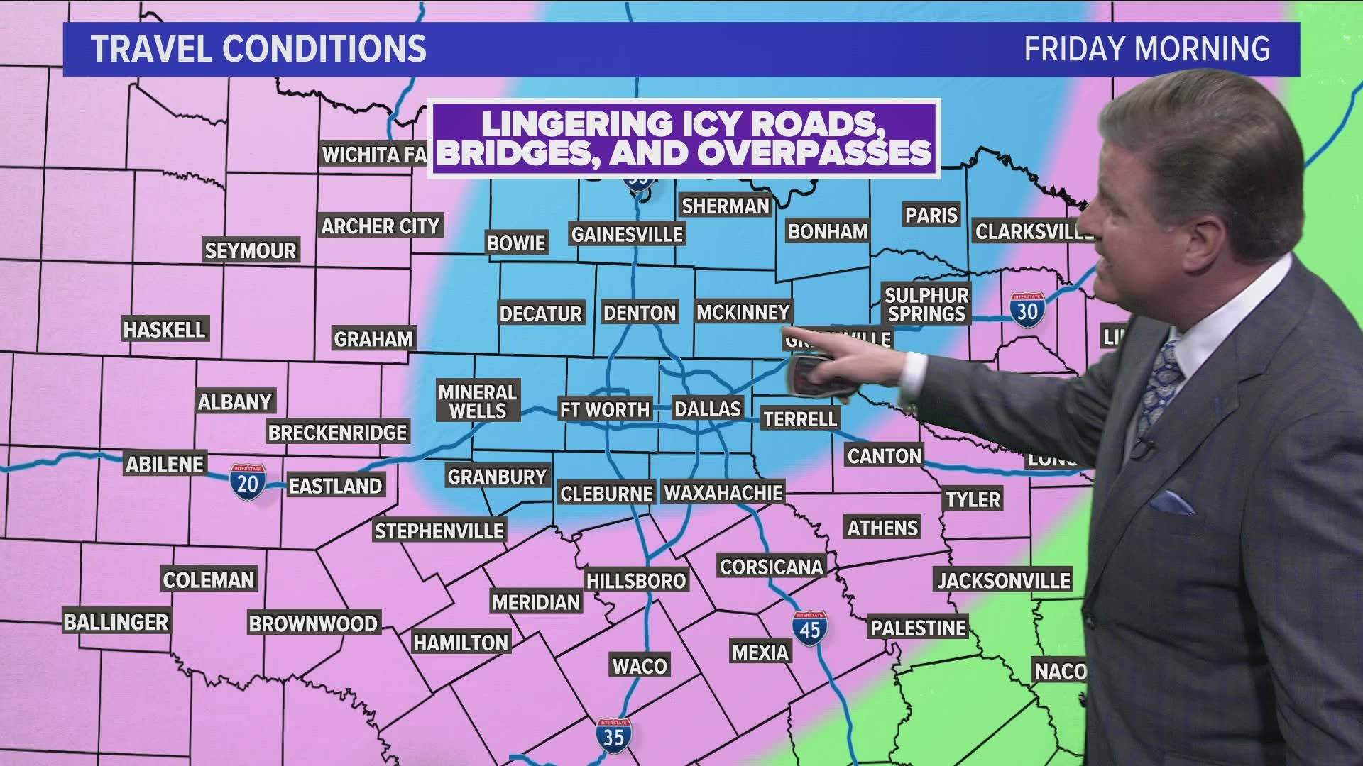
Thursday morning brought additional light ice accumulations on top of what feel Wednesday. On average, accumulations of freezing rain totaled around 0.1" with isolated higher totals NE of DFW.
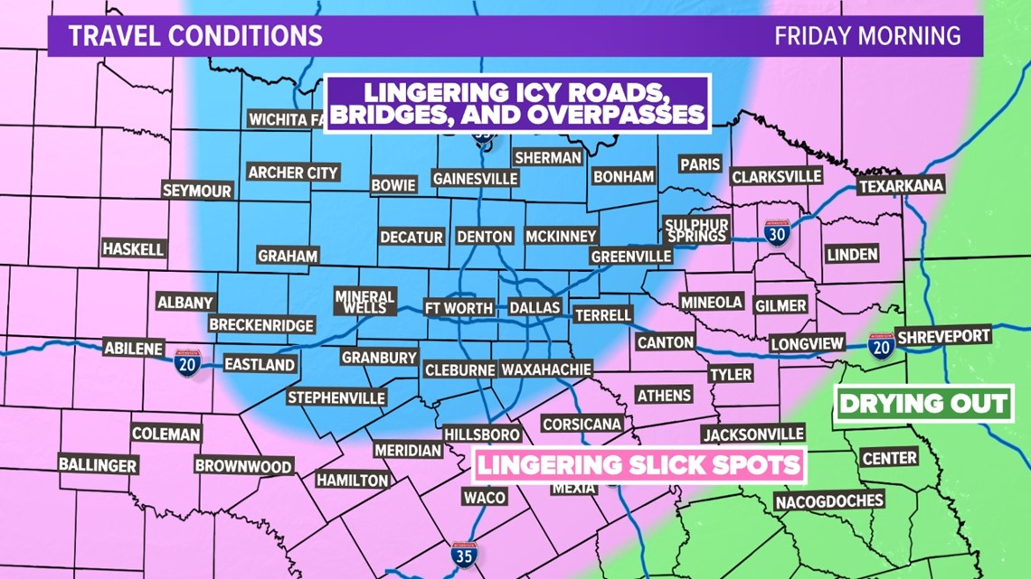
Even though freezing rain is over, temps will stay below freezing and anything that melted during the day on Thursday will refreeze into Friday morning. Slick roads, bridges, and overpasses will be possible. Use caution while driving.

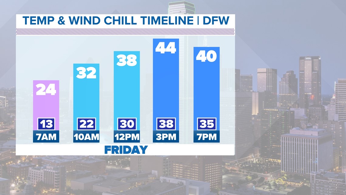
Temperatures Friday
Here it comes! Temperatures will go above freezing Friday morning and well above freezing in the afternoon. That, mixed with some sun, will help melt and dry out North Texas roads. We will see big time improvements Friday afternoon.

Another round this weekend??
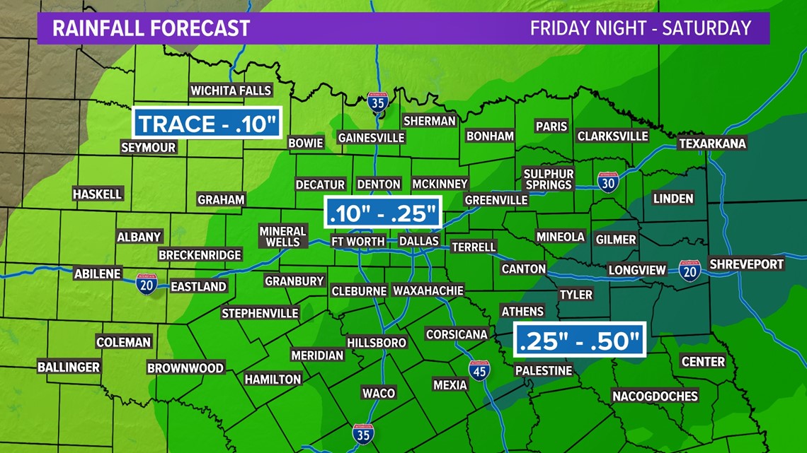
Some good news and bad news. The bad news? There is another chance of a light wintry mix for portions of North Texas late Friday night into early Saturday morning. The good news? Surface temps are expected to barely (and briefly) be near freezing, so travel issues aren't expected.

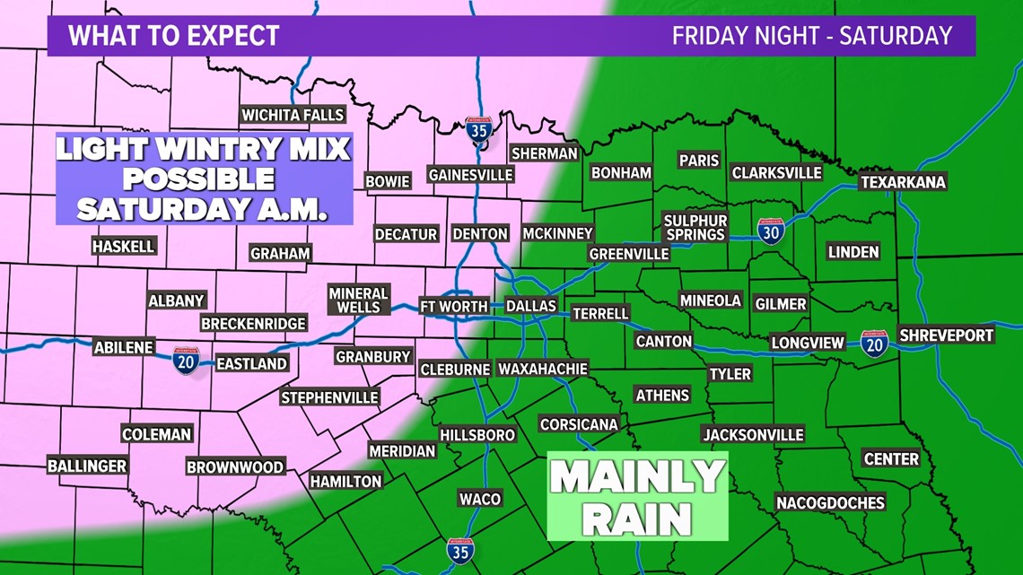
We also REALLY need any rain we can get. Totals with this one are expected ot be in the 0.25"-0.50" range for most. Heavier totals are possible east of the metroplex.

