DALLAS — An arctic front arrived in North Texas early this week and will keep us at or below freezing temps until midday Wednesday.
Get the latest forecast updates here.
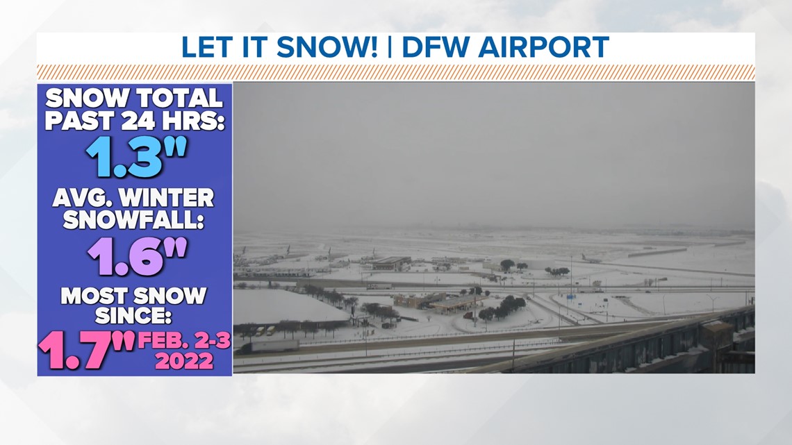
DFW and other parts of North Texas woke up to a coating of snow Monday. The snow was just the kind that we like, however: Light and fluffy. But, sunshine quickly cleared snow off of many roadways, fortunately.
Travel significantly improved across the area. The exception will be elevated bridges and overpasses, where snow could linger or refreezing could create slick spots. Significant travel problems do not look likely Tuesday morning, but be aware there could be slick spots or slick areas where melting and drying does not happen on Monday.
Snow totals for most areas were less than 1 inch, but some parts of DFW saw more than 1 inch, such as DFW Airport and areas that are south of our area lakes.
In these locations, lake effect snowfall has helped enhanced snowfall totals.


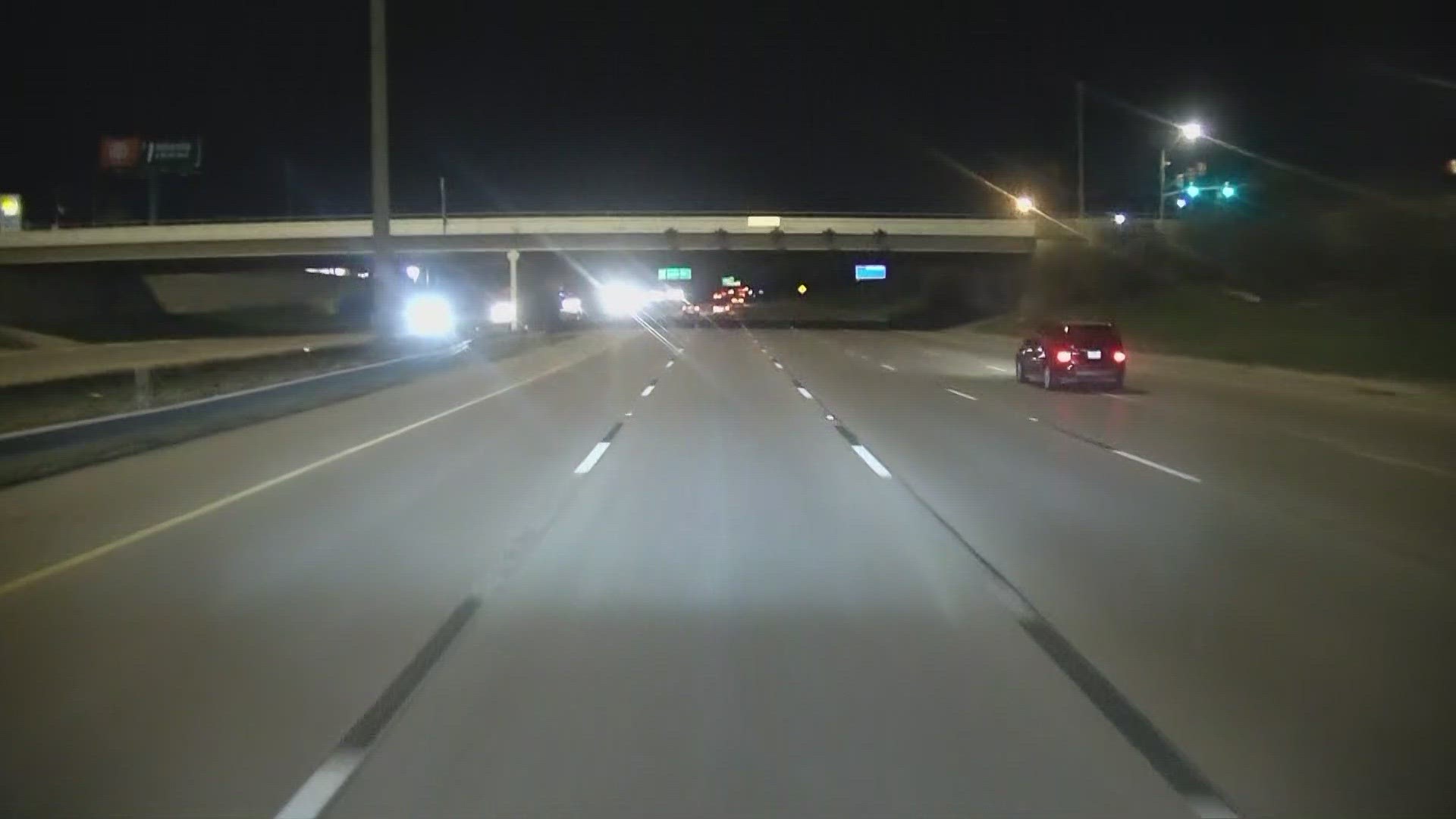
TxDOT reported Tuesday morning that metro highways and interstates were looking good, but continue to use caution and watch your speed as isolated slick areas were still possible.
Road preparations for wintry conditions
Crews have been driving across North Texas spreading brine treatment for safer driving.
The brine does not melt away ice or snow, but it does help to make precipitation less likely to freeze on roadways.

