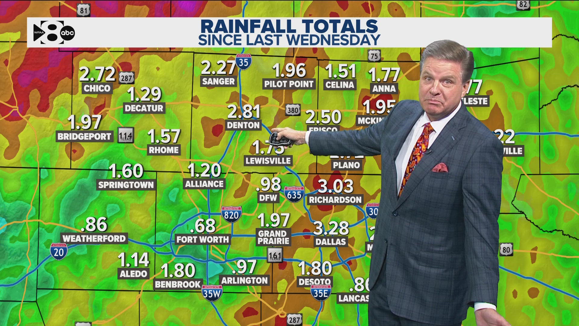
DALLAS — The thunderstorms have ended and the gates of Hell are about to open for North Texas.
Hope you're ready for summer!
Mother's Day
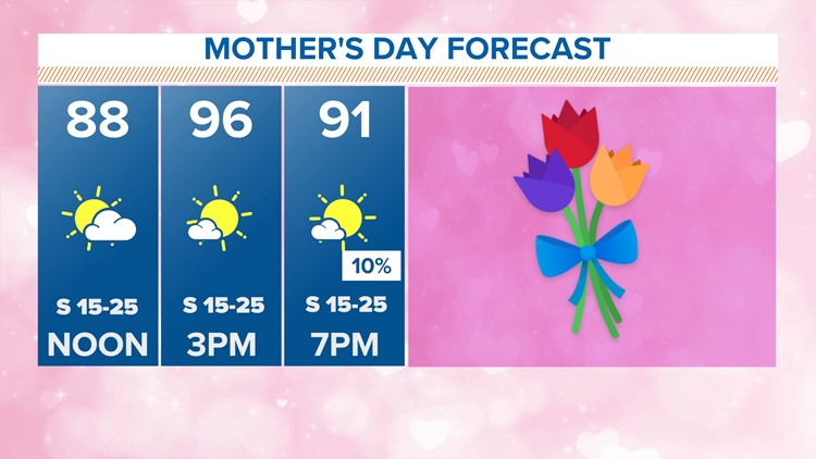
Unfortunately, Mother's Day is looking even warmer than Saturday in North Texas.


Highs will reach the mid to upper 90s by the afternoon for most with some triple digits possible across western North Texas.
This definitely looks to be the warmest day of the year so far and potentially record warm as well. The record temp for Sunday is 95° set in 1933.

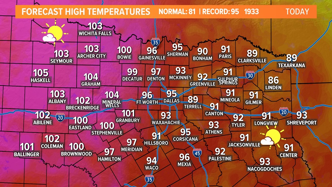
Since the humidity has not gone anywhere, that will make it feel much warmer than the actual temp. Afternoon heat index values will be in the upper 90s to at or above 100°. Lowest humidity will be in western North Texas, but temps will be plenty hot out that way regardless.


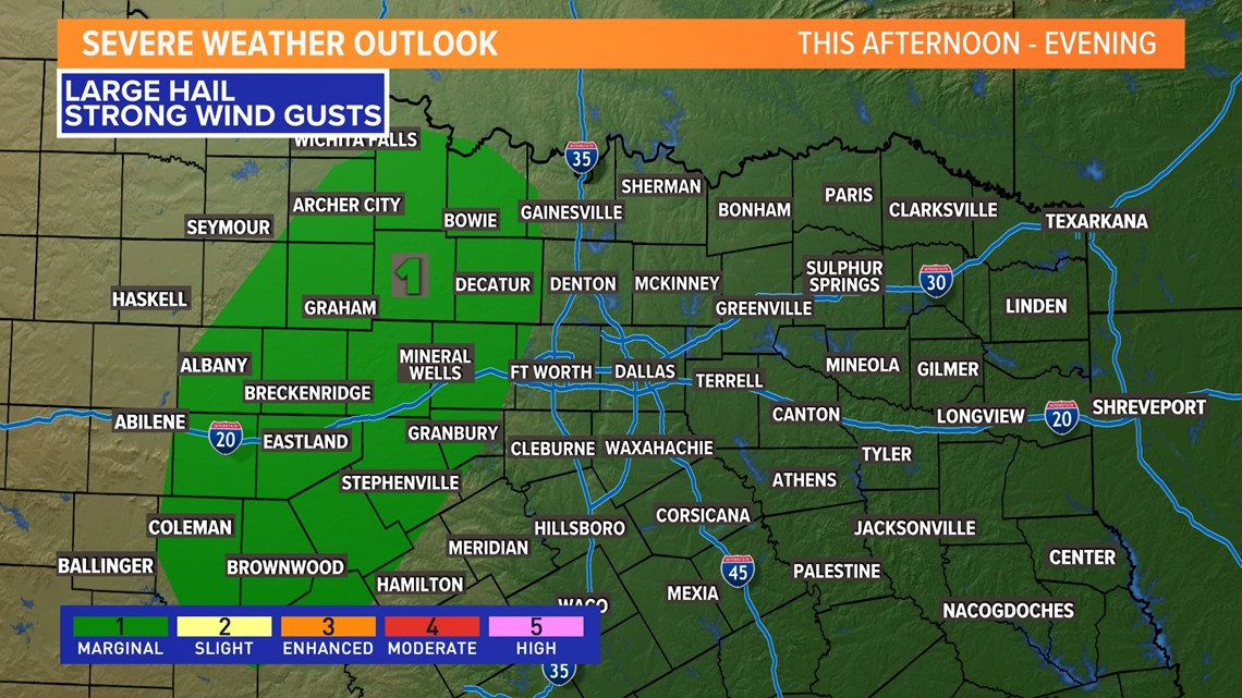
Just like Saturday there is a chance for some bubble-up showers or storms during the afternoon into evening, but most of North Texas will be dry.
Favored area will be across western North Texas during the heat of the day.
If you find yourself under a t-storm, enjoy the cool-down, but any storms could have very heavy rain, strong wind gusts, or large hail.

The heat won't stop anytime soon
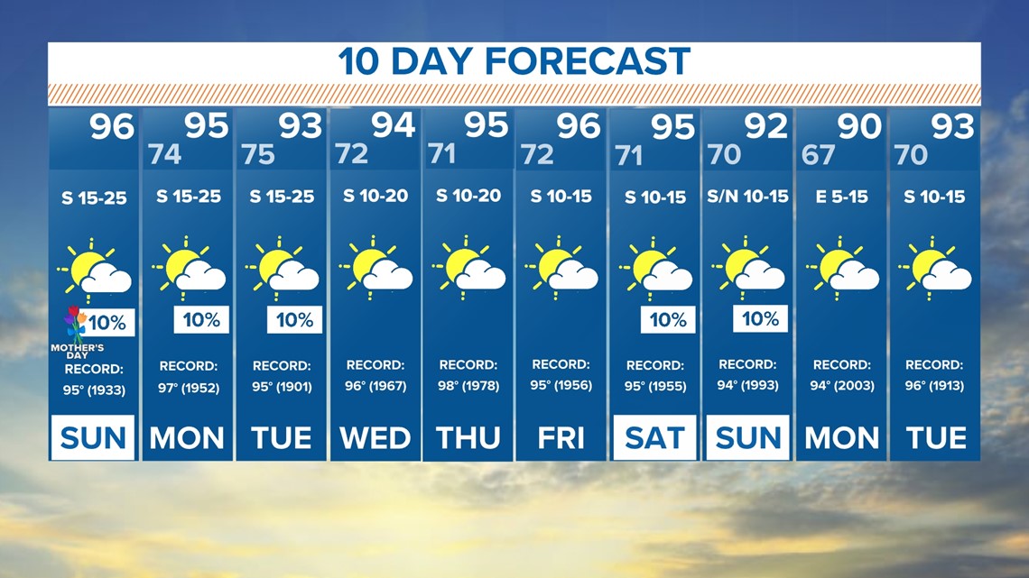
The heat continues all of next week and highs remain in record territory.
Check out the forecast highs and the records in the 10-day outlook. Every day will be in the 90s with near record or record breaking heat.
Rain chances over the next 10 days are not completely zero, but rather slim. Basically it's hoping for a stray shower or storm, mainly across western North Texas, during the early part of the week. By next weekend, there may be a few showers or storms here or there, but nothing that looks significant or soaking.

