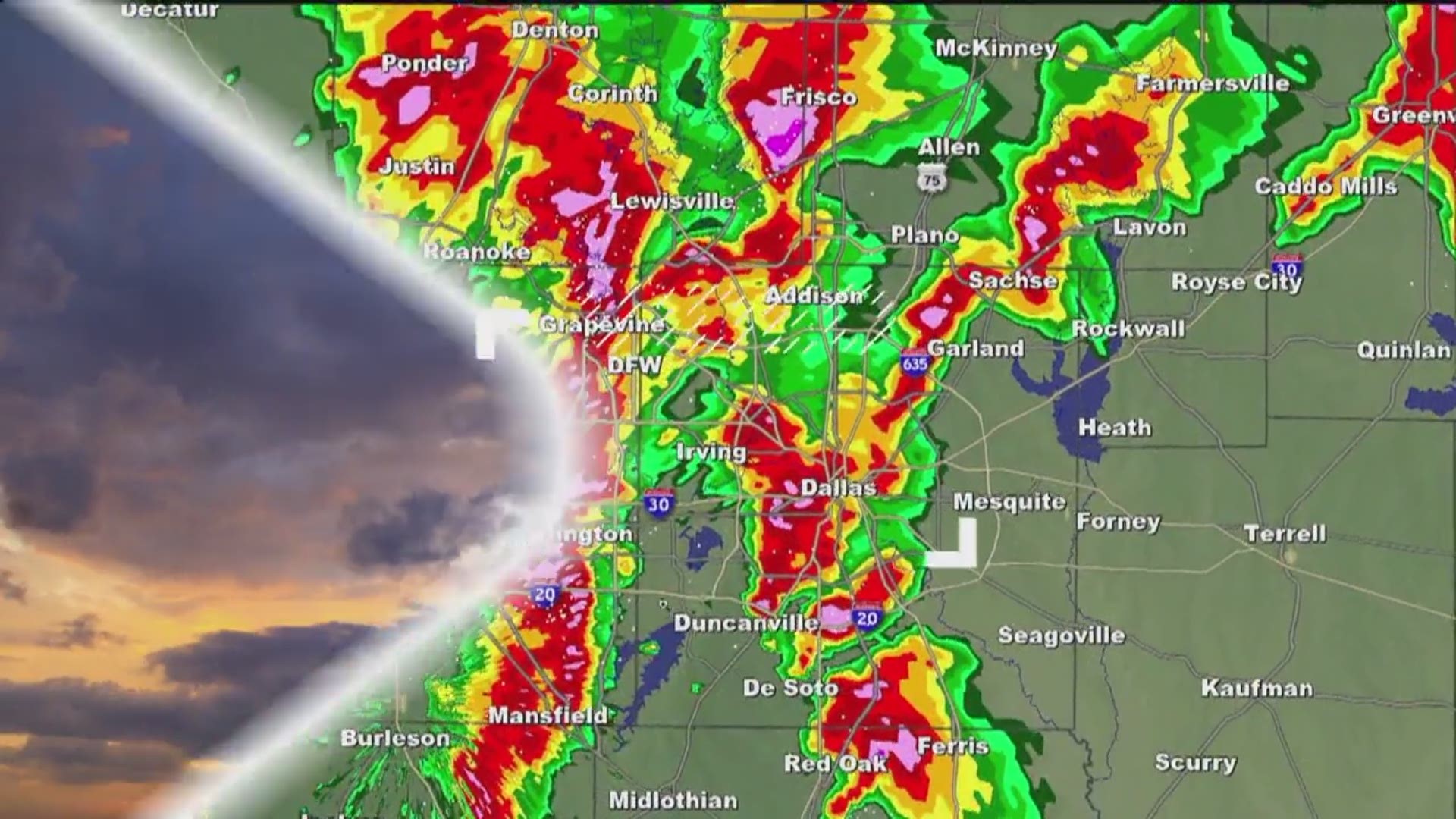
Thankfully, the severe storm threat from Friday is long gone this weekend.
And now we are talking SNOW!
Snow Chances
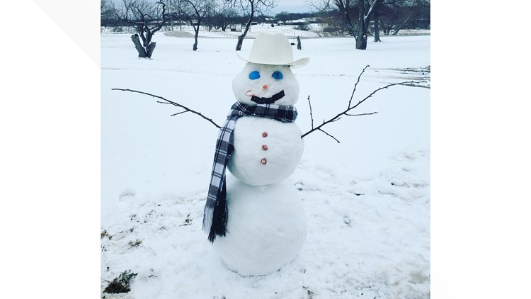
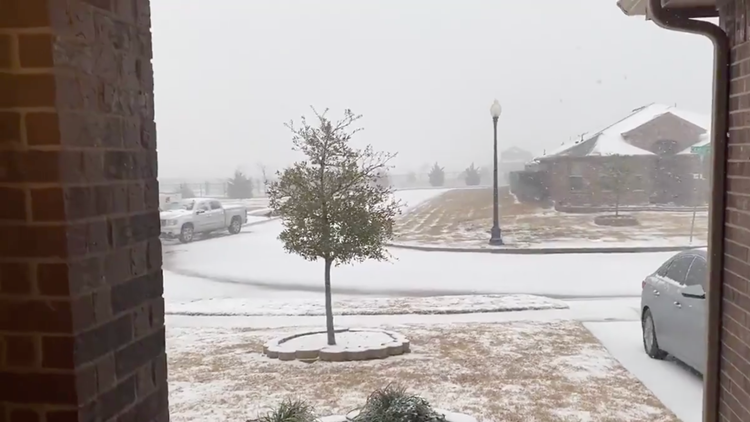
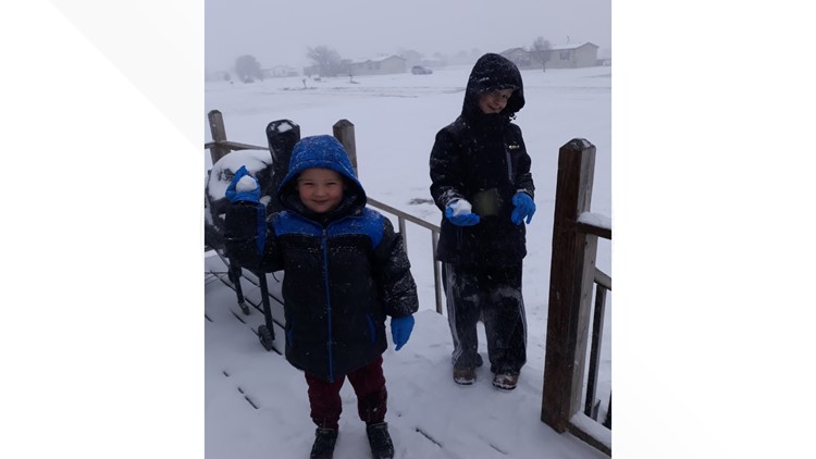
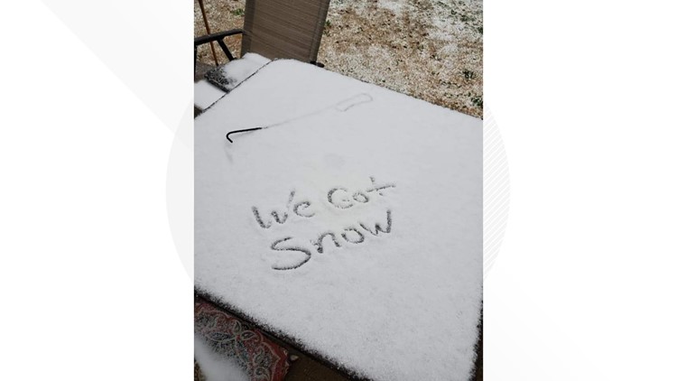
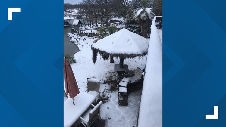
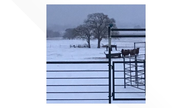
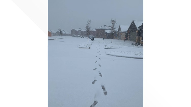
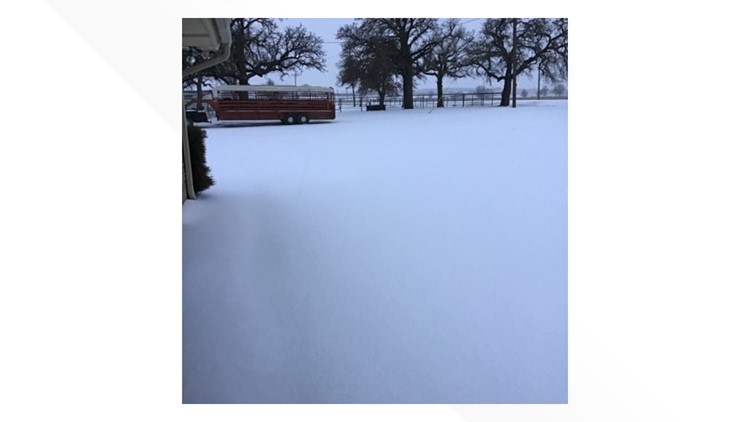
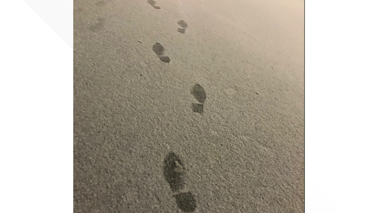
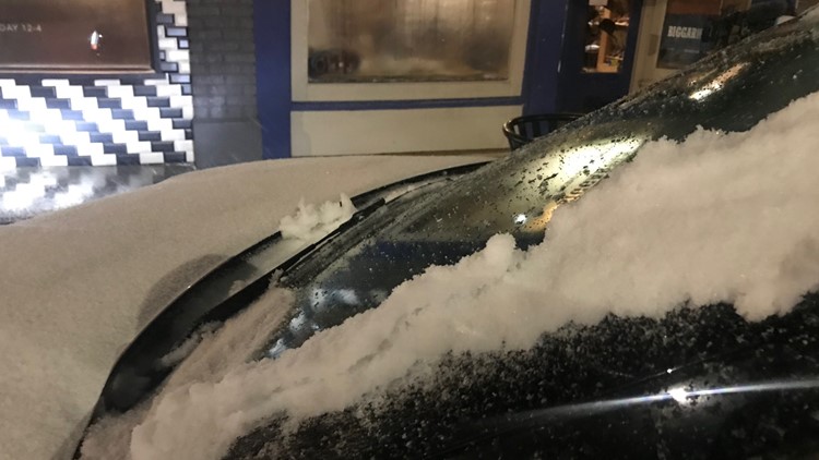
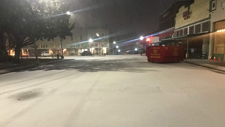
Some of you are waking up to a winter wonderland Saturday morning!
However, most snow is done falling from the sky or will taper off through the midday hours.
Where snow fell Saturday morning, slushy and snowy roads will continue to cause travel problems until any snow melts later today.
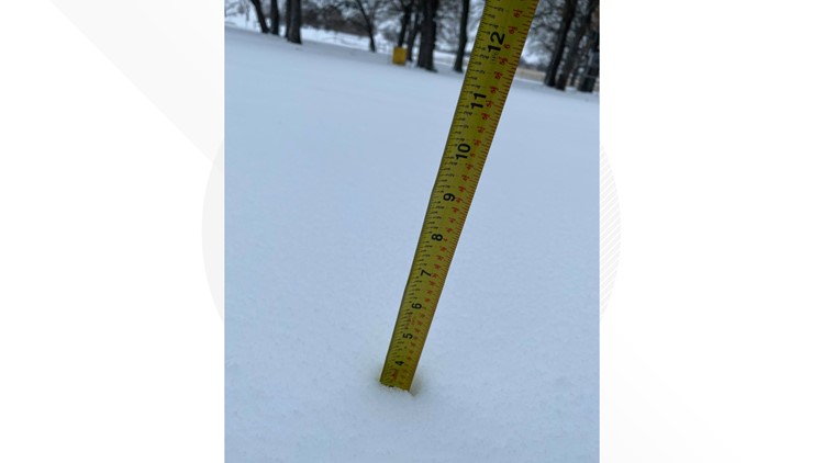
The highest snow totals were in and around Denton, Decatur, Breckenridge, Jacksboro, Bowie, and Gainesville, where around 1 to 3 inches of snow fell Saturday morning.

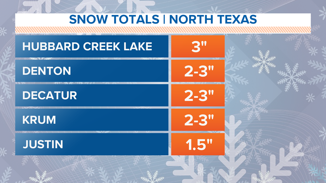
With the exception of the Denton area, most of the Dallas-Fort Worth area missed out on higher snow totals. Northern parts of the Dallas-Fort Worth area (Plano, Frisco, Flower Mound, etc.) ended up with less than an inch or a dusting.
Now, enjoy the snow while it lasts!
Clouds will clear from west to east the rest of the day with sunshine breaking out for most before the day is done. While it will stay chilly all day, temps above freezing and sunshine should be enough to melt most snow away.
Snowfall blankets North Texas
Weekend Forecast
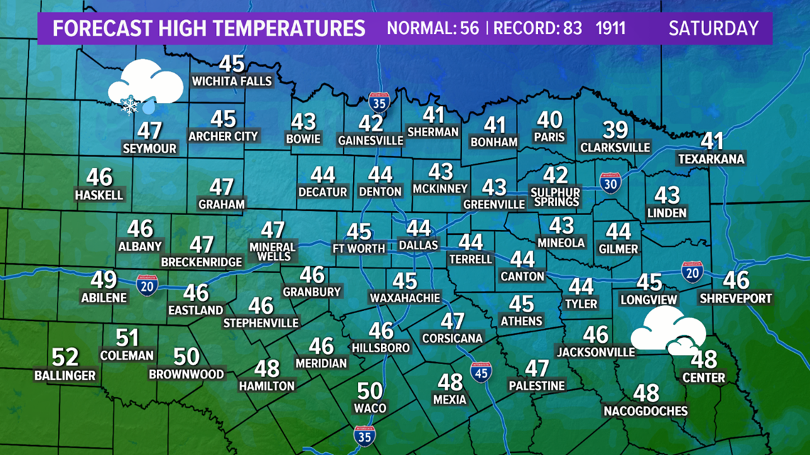
A chilly day is guaranteed on Saturday. After morning wintry weather chances, skies will slowly clear with afternoon and evening sunshine possible.

The better of the two weekend days will be Sunday.
After starting off around or below freezing on Sunday, temps will climb into the upper 50s to low 60s by the afternoon under mostly sunny skies.

