HOUSTON — As of 10 p.m., Beryl was a tropical depression with maximum sustained winds of 35 mph, according to the National Hurricane Center.
Beryl made landfall as a Category 1 hurricane near Matagorda, Texas at 3:55 a.m. Monday, the National Hurricane Center said. It lost strength as it moved across Texas.
Beryl continued to weaken Monday evening as it moved away from Southeast Texas. The storm is responsible for several deaths across the area, knocking out power to millions of people, significant flooding, and winds over 80 mph through Harris County.


The storm will continue racing northeast as a rainmaker for the Ohio Valley.
Here at home, the weather will turn quieter but hot for the rest of the week.

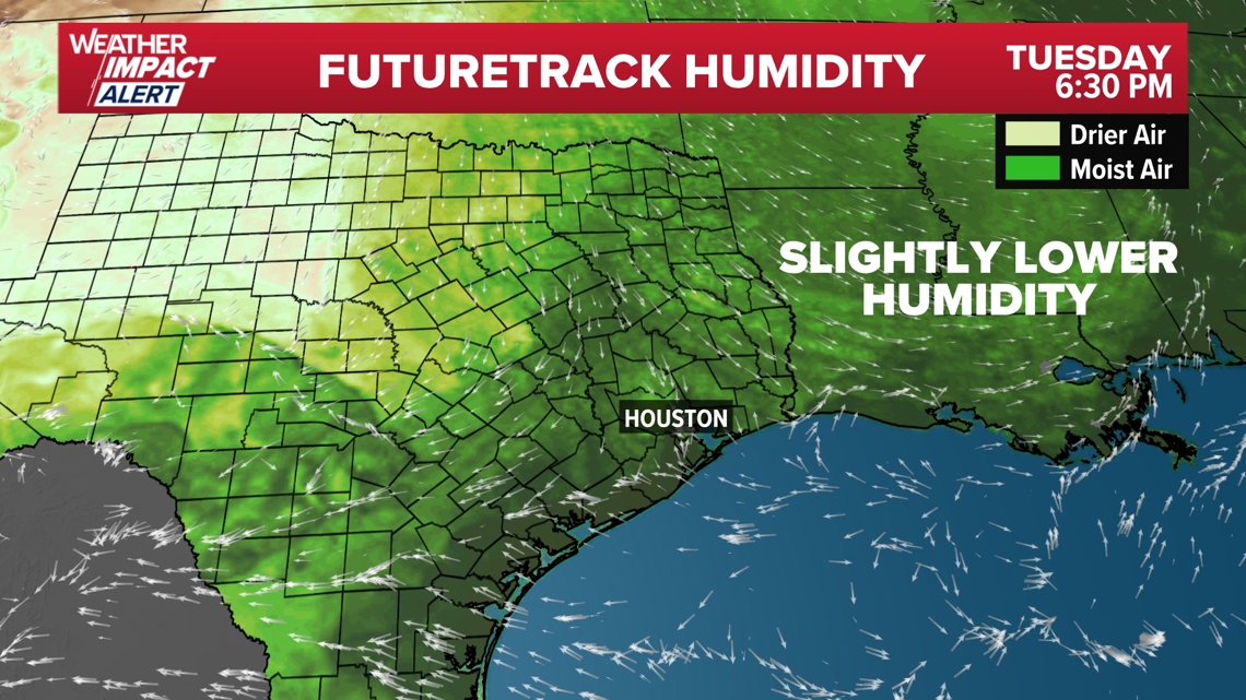
A subtle drop in humidity is possible on Tuesday, as winds turn from the north in the wake of Beryl's departure.

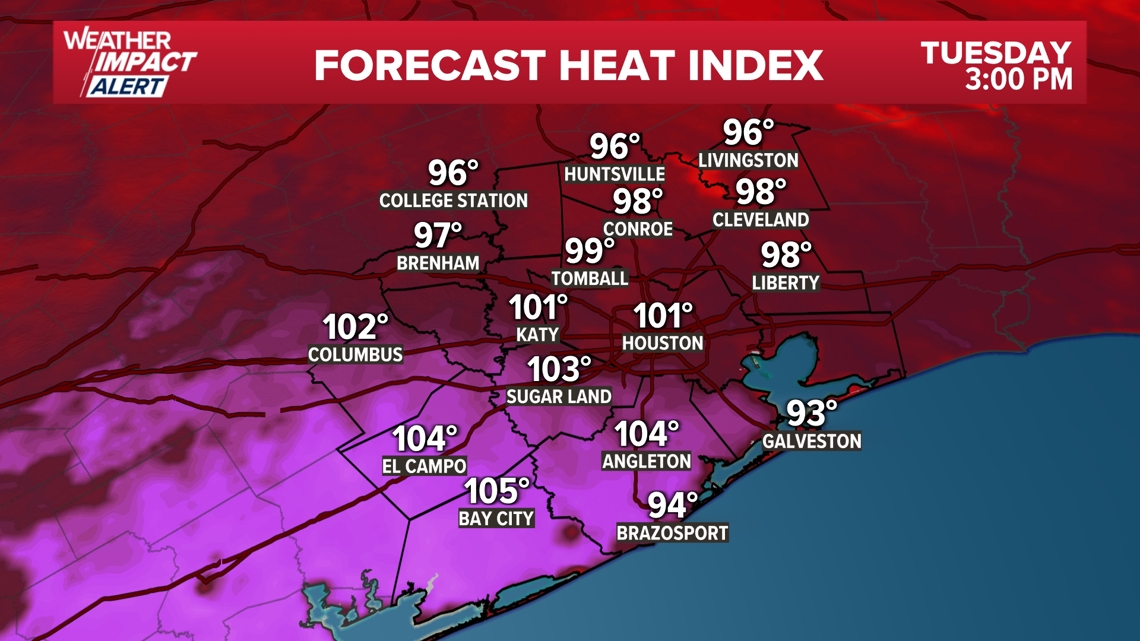
Despite that, a heat advisory has been issued for all of Southeast Texas, due to the lack of power and air conditioning for so many homes.


Beryl 10 p.m. statistics
As of 10 p.m. Monday, Beryl was a tropical depression with maximum sustained winds of 35 mph, moving north-northeast at 17 mph.
Live tropical tracker
Be prepared
Disaster declaration


More than 120 Texas counties were placed under a disaster declaration, including Harris, Ft. Bend, Galveston, Brazoria, Montgomery and more. You can see the full list of counties here.
Record-setting Beryl
The 2024 Atlantic Hurricane Season was promised to be an active one, with Colorado State University and NOAA predicting well above normal numbers. In fact, the NOAA forecast for the season was the most aggressive forecast ever produced. Several factors including record warm sea-surface temperatures and a transition to La Nina by late summer were the driving factors in these aggressive forecasts. However, Hurricane Beryl is already shattering records before the peak of the season arrives. Meteorologist Pat Cavlin has a list of records the storm has already broken.


