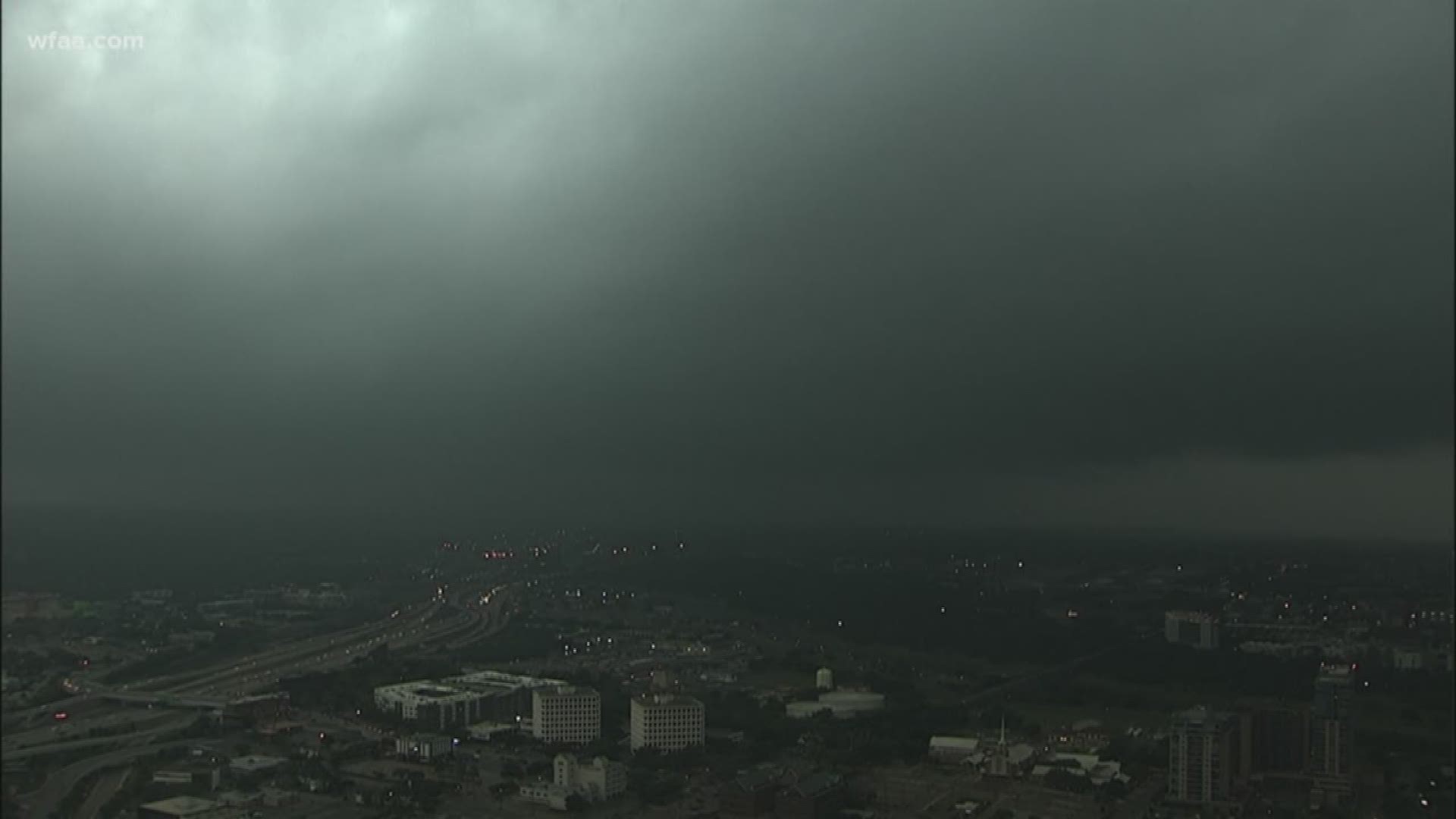
(Updated 6 p.m.) A severe thunderstorm was moving east through Dallas-Fort Worth on Saturday evening, bringing a threat of hail and strong winds.
Dallas County remained under a severe thunderstorm warning until 8 p.m. Ellis County was also under a severe thunderstorm warning.
Quarter-size hail and damaging winds of up to 60 mph were possible.
There were several reports of hail in the Midlothian area, where the strongest part of the storm was passing through.
Earlier, hail was being reported further west in Mineral Wells in Palo Pinto County, where a severe thunderstorm warning had been in effect until 5:15 p.m.
The Main Streets Arts Festival in downtown Fort Worth was suspended until the storm passed through but re-opened about 6:30 p.m.
The Rangers game in Arlington was also in a weather delay due to the storms.
Original story:
By midnight, all of North Texas was expected to be in the clear as far as rain was concerned, and we are dry into Sunday morning.
Sunday will be dry, breezy, and cool. The morning will start out with a good deal of cloud cover, and clouds will slowly clear from southwest to northeast through the day. Northeastern areas will be stuck in the clouds the longest. High temps on Sunday will depend on how much cloud cover you see. Areas stuck in the clouds will have highs only in the low to mid 60s vs. areas who see sun will have highs in the upper 60s or even low 70s.
Sunshine returns area-wide by Monday with highs back in the 70s area-wide as well.

