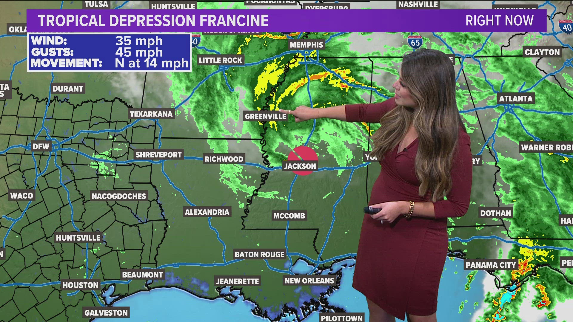
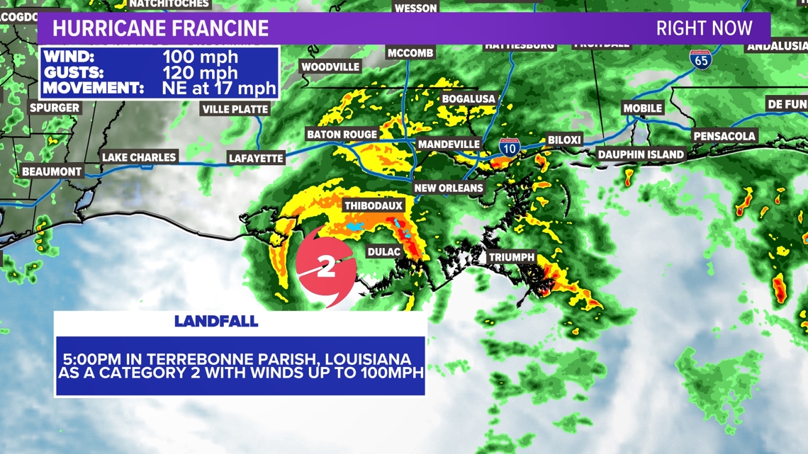
TEXAS, USA — After the tropics have been quiet for quite some time, Francine made landfall in Louisiana Wednesday evening. Francine officially made landfall in Terrebonne Parish, Louisiana around 5 p.m. as a category 2 with winds near 100mph.

THE LATEST
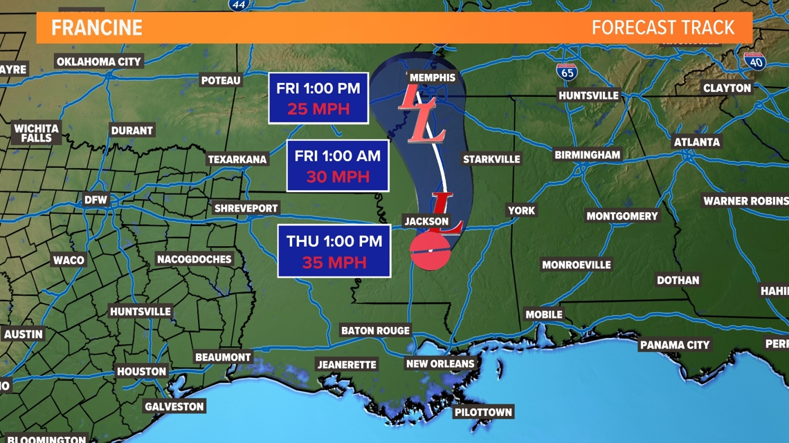
Francine now a tropical depression
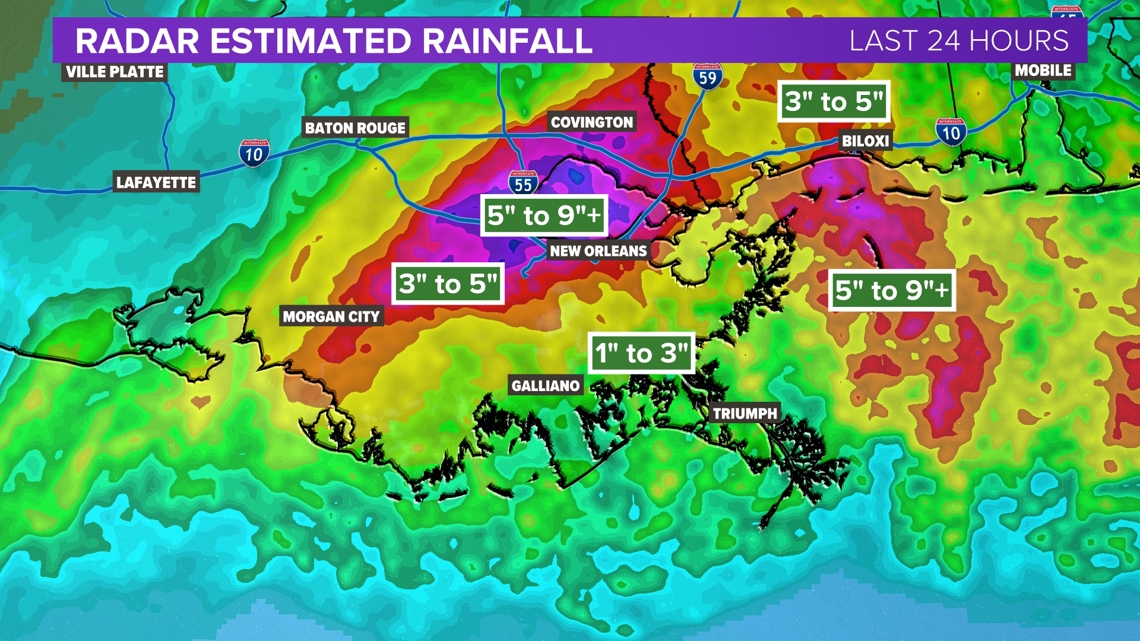
Francine briefly strengthened to a category 2 hurricane with winds of 100 mph just before making landfall around 5pm Wednesday. Francine brought flooding rain Wednesday night to southeast Louisiana will bring flash flooding potential into parts of Mississippi and Tennessee Thursday and Friday.

Louisiana impacts
Southern Louisiana faced the most intense parts of this storm. The highest rainfall totals, storm surge, and winds were along the coastline. Hurricane Warnings have been issued for those areas.

Texas impacts
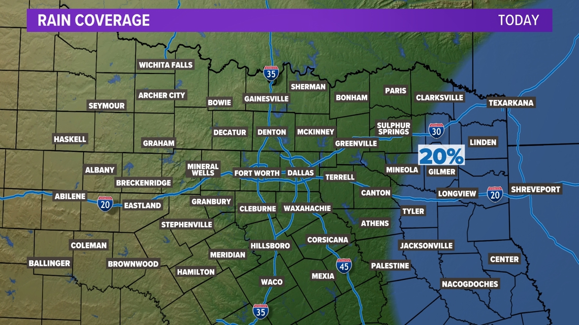
Simply put, most of Texas saw minimal problems from Francine. As Francine moves north, some rain could move into far eastern North Texas. Otherwise, it'll be warm and humid.

Stay tuned for updates!
Also on WFAA.com:

