This story will be updated as new information becomes available
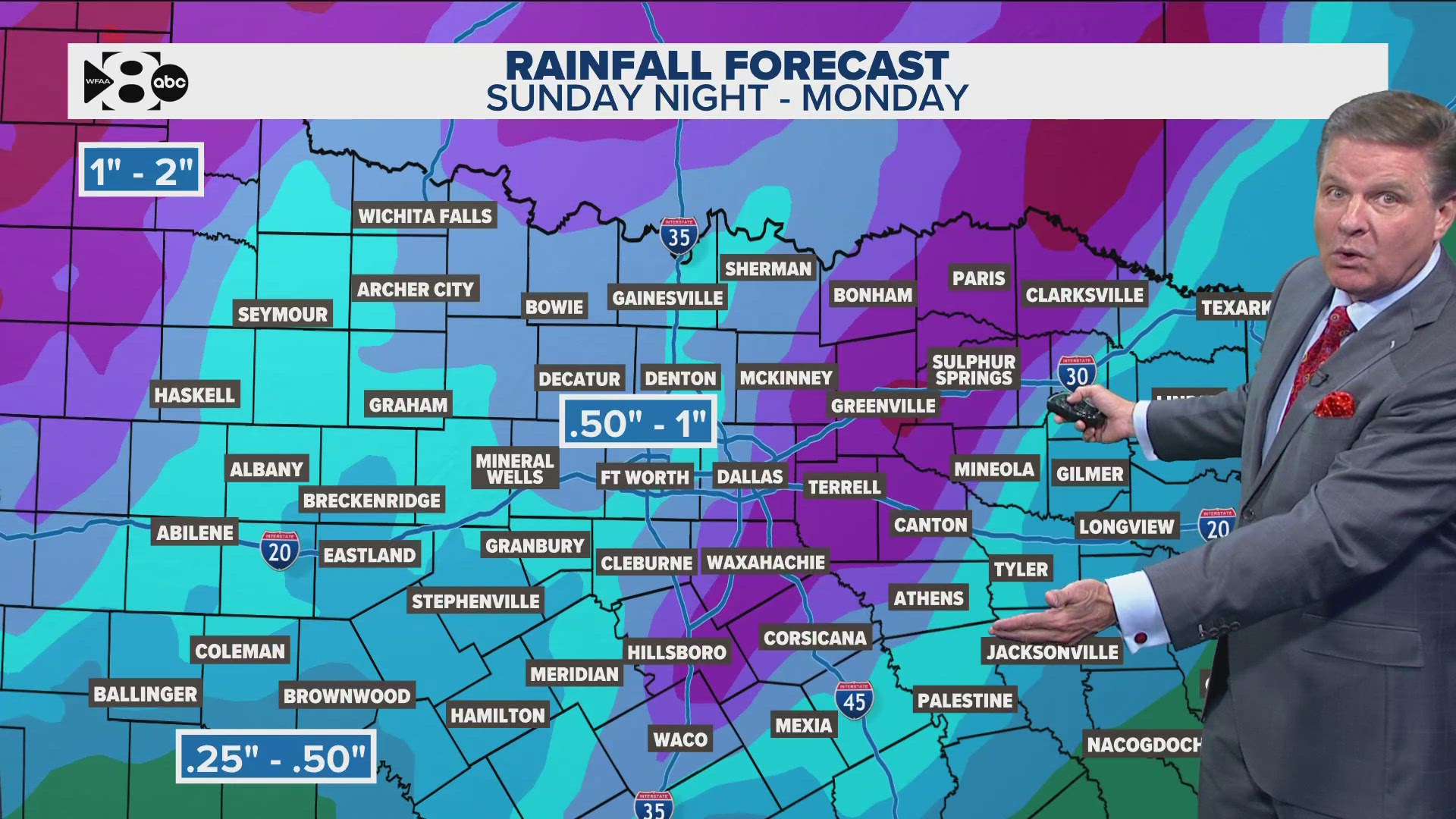
A second, less severe round of showers and storms is moving through North Texas Sunday evening. This activity follows a line of storms that triggered multiple Tornado warnings east of Dallas.
There are no active storm warnings in the Dallas - Fort Worth area.
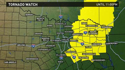
A Tornado Watch remains in effect for counties east, northeast and southeast of the metro area. The Dallas - Fort Worth area is not included in the Tornado Watch.
Click here for a full list of counties in the watch area.
Conditions will continue to dry out as this line of activity passes through North Texas.
Even though the most severe threats were east of Dallas-Fort Worth on Sunday, storms brought heavy rain, gusty winds and hail to locations across North Texas.
The overnight low temperature will drop to the mid 40s.
MONDAY'S FORECAST
Behind the cold front Sunday, cooler and drier air returns to North Texas. This is no Arctic Blast, so we won't be locked in the deep freeze as you head back to work or school tomorrow. But it will be chilly in the morning with temps in the 30s and 40s. However, with plenty of sunshine, highs will make it to around 60° by Monday afternoon. Once again fire danger will be high across the western half of North Texas Monday afternoon.


