9:30 PM update
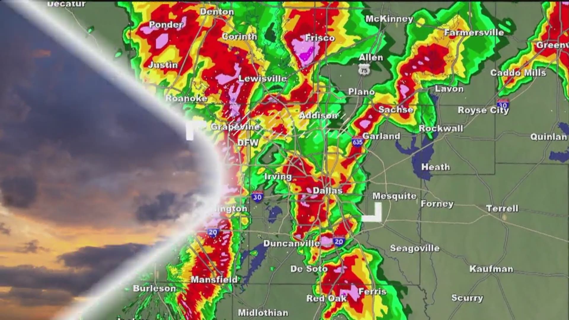
The severe risk still continues to drop this evening for a multitude of reasons. The storms ahead of the front have not much instability to work with, the cap is still in place and the cold front has undercut storms to the west of the Dallas-Fort Worth area. Still can't rule out a storm with hail, but even that risk remains very low.
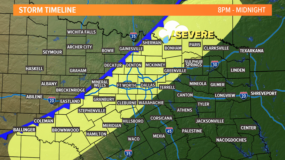
8 p.m. to midnight
This is the most likely time-frame for storms to move through the Dallas-Fort Worth area. Earlier in this timing to the west, later to the east.
Most of the Dallas-Fort Worth area will see showers and storms during this time, but NOT everyone is guaranteed to see severe storms.
Some storms could be severe with large hail (quarter size or larger) the main threat. While damaging winds or a brief tornado are possible, the threat is lower.


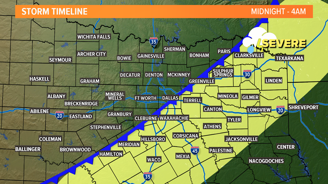
Midnight to 4 a.m.
Storms will move east of the Dallas-Fort Worth area into eastern North Texas.
Dallas-Fort Worth will continue to see clouds, but drier weather. Temps will fall as winds increase from the north behind the cold front.
The threat for some storms to be severe will continue for eastern areas of North Texas. Main threats will be large hail and strong winds.


4 a.m. to 7 a.m.
Any storms move east into East Texas and out of our area.
All of North Texas will be windy and much colder behind the cold front.
Stay tuned for updates, as events like this are always evolving.
Remember to download the WFAA app to check one of our dozens of local radars near you as well as the latest forecast, cameras and current conditions.

