The cold front is here!
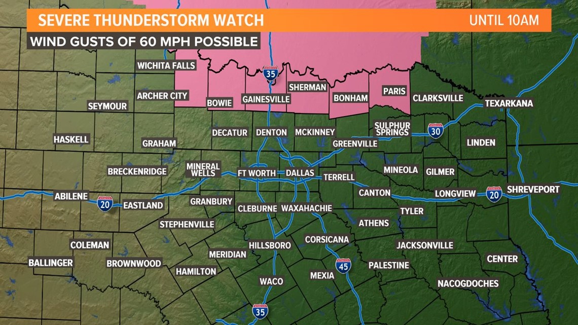
Showers and storms could cause some slowdowns for the Monday morning commute in the Dallas-Fort Worth area as the cold front sweeps through.
- LINK: WFAA Radars
The metroplex will see showers and storms just after 7 a.m. On and off rain will continue through midday before winding down to just isolated showers and storms this afternoon. Severe weather is not anticipated for DFW, but a few unruly storms are possible north and east of the metroplex with damaging wind gusts being the primary concern, but even that risk is very low.


We really need the rain! But it’s not going to be nearly enough to put a significant dent in the horrible drought conditions in the area.


The other GOOD news with this cold front?
Are you ready for this...
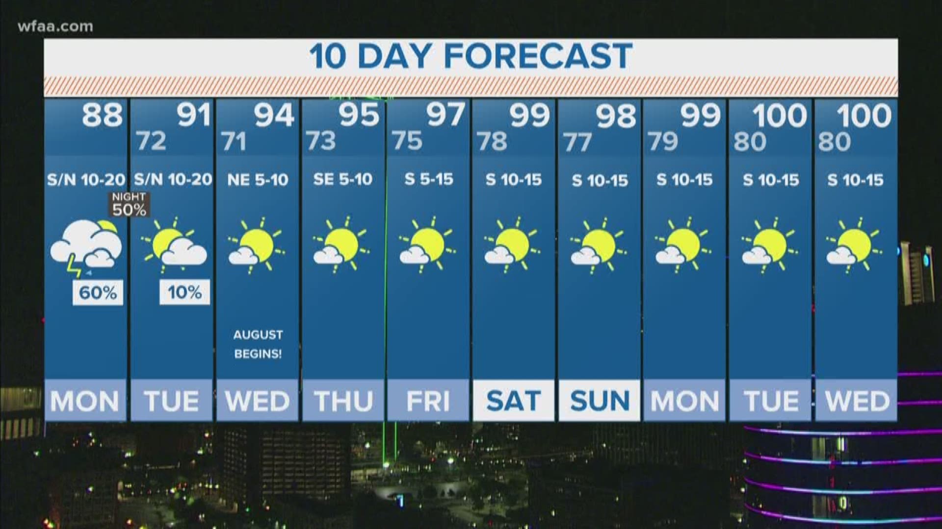
High temperatures this afternoon north of I-20 will be between 87 and 91! Talk about a nice, mid-summer cool down. Even Tuesday...high temperatures will be in the lower 90s which is below our normal high of 97. That’s something we can all smile about this Monday 😊
Make sure you download the WFAA app to stay in the know on all weather updates!

