DALLAS — WFAA is launching a brand new tool to complement our team of meteorologists to help keep you and your family safe.
This is a simple and easy way to understand the severe weather we see here in North Texas.
What is a WFAA Weather Alert Day?
The WFAA Weather Team will declare a day a WFAA Weather Alert Day when severe or impactful weather is in the forecast. These are days when severe or life-threatening weather is on the way, and days you need to pay extra close attention to the weather and the forecast.
Every weather event is different, and each event will be taken on a case-by-case basis, but examples of weather that might incur a WFAA Weather Alert Day include tornadoes, damaging winds, large hail, snow, ice, flooding or fire danger.
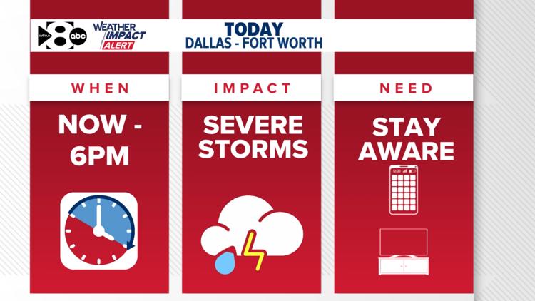
On WFAA Weather Alert Days, our weather team will tell you when it will happen, what the impact will be, and what you need to know.
Life is busy and complicated, and the WFAA Weather Team wants to deliver the information you need to know -- both simply and straightforwardly.
While the weather is busy in North Texas, not every day or every event will be a WFAA Weather Alert Day. So, when you hear the weather team say a day is a WFAA Weather Alert Day, make sure to pay attention and stay prepared!
Monday (Nov. 4): WFAA Weather Alert Day
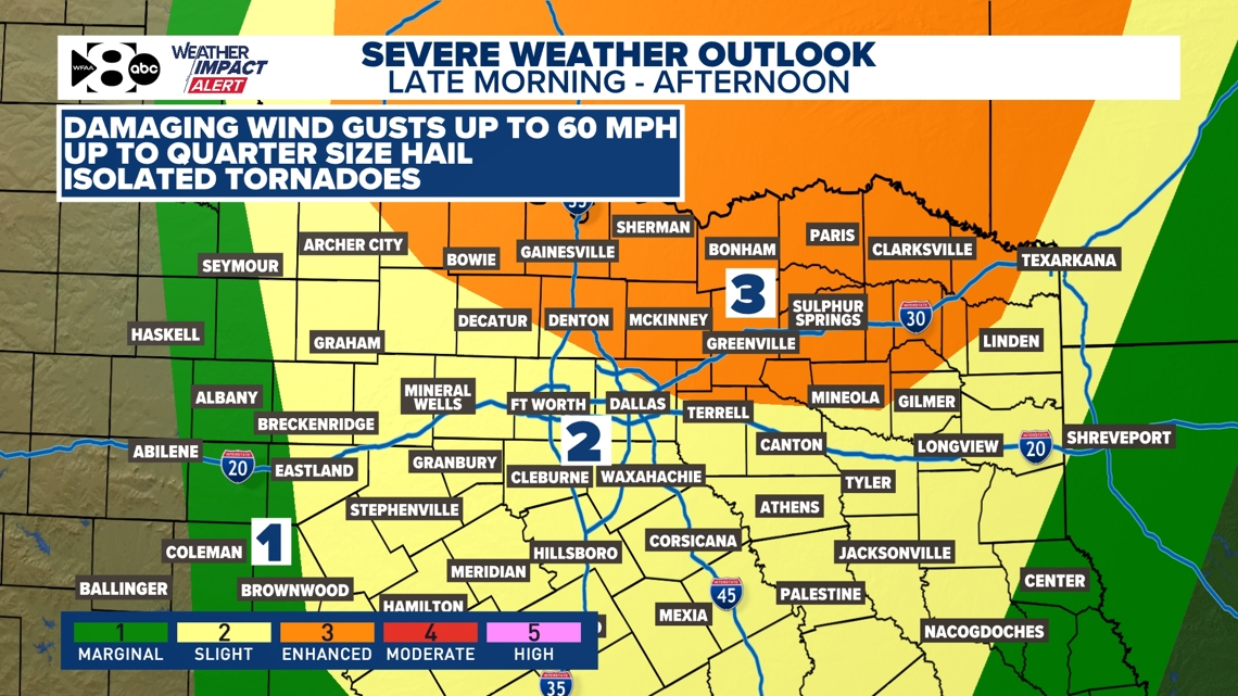
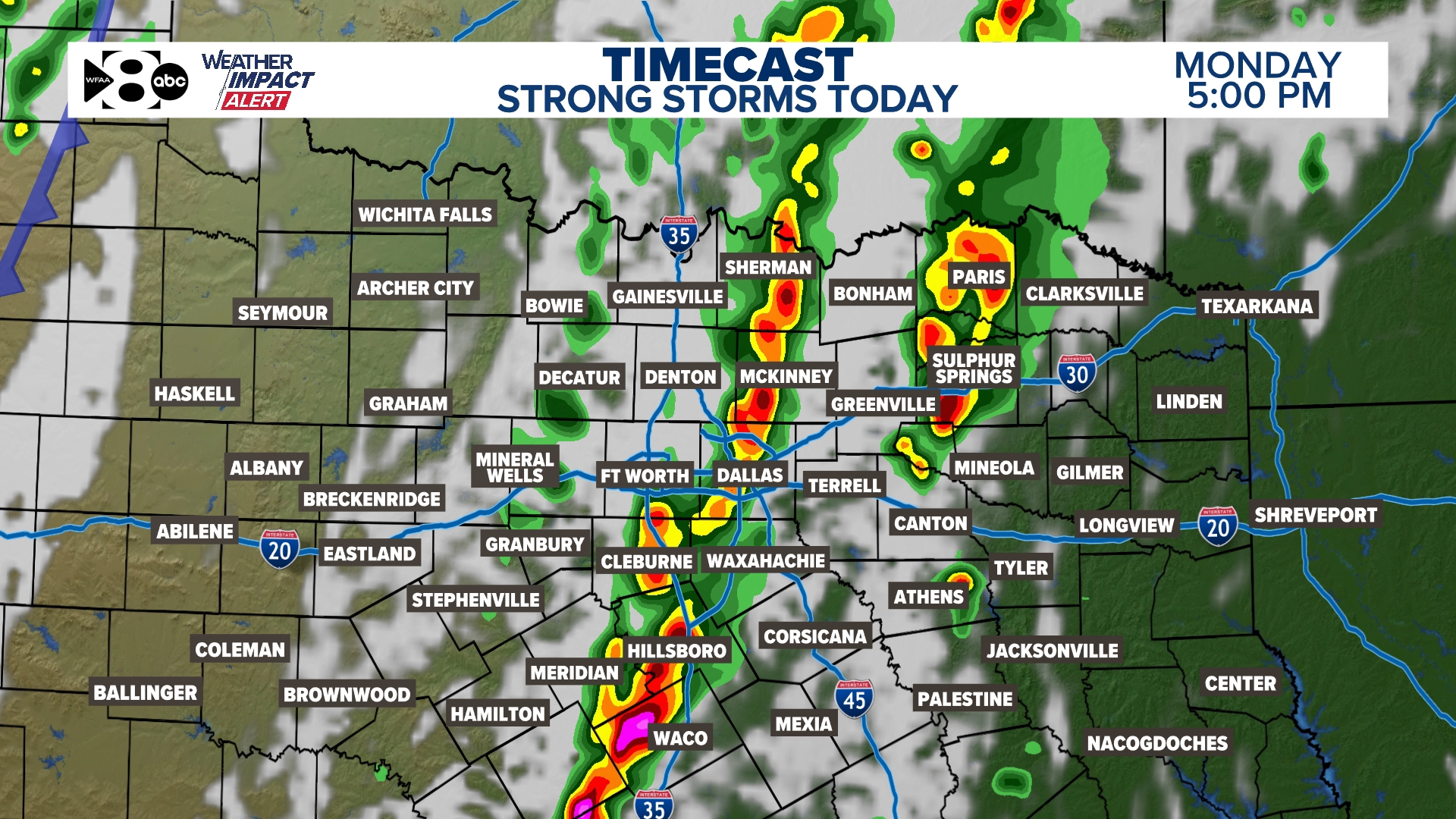
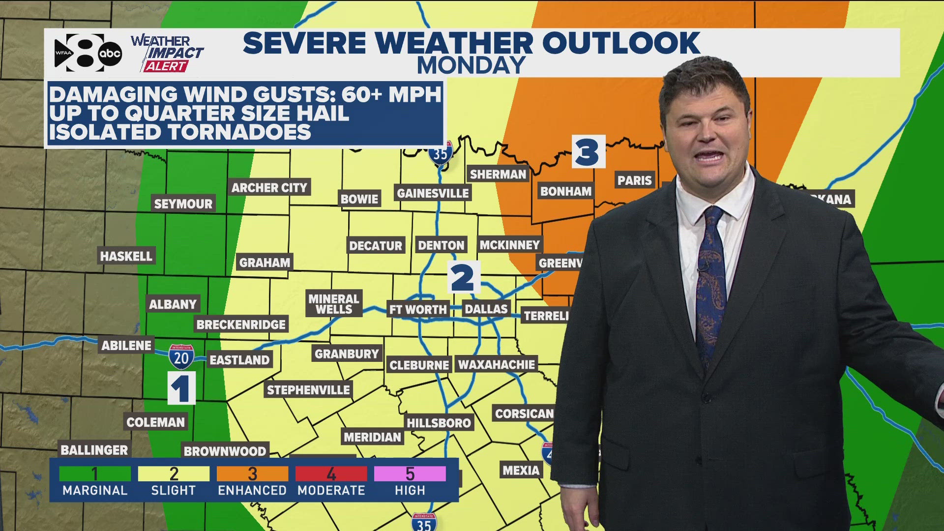
Our first WFAA Weather Alert day comes on Monday as a round of storms and severe weather will move across North Texas.
When will it happen?
For the Dallas-Fort Worth area, storms are possible anytime between now and 6 p.m. with a threat of severe storms during that time. During the mid-afternoon into evening hours, rain and storms should move east of DFW and most of DFW will be dry.


What will the impact be?
Any thunderstorms will have heavy rain and lightning, but the strongest storms could become severe. The main threats are hail up to the size of quarters and wind gusts up to 60 mph, which could be damaging. There is also a threat for isolated tornadoes with any given storm.
The tornado threat is low but not zero, especially during the afternoon, in the heat of the day. Wherever storms are during the afternoon hours, those are the ones that will need to be watched closely for a higher severe threat.
What do you need to know?
Simply put, just stay weather aware during the day! Have a way to get weather warnings if you are out and about (like our WFAA mobile app), and stay up to date with the latest on-air and online with the WFAA Weather Team.


