DALLAS — While D-FW may see a few showers and storms for the rest of the night, the chances of them becoming severe are very low. Any storms will contain heavy rain and lightning, but that does not make a storm "severe.".
RELATED: Storm safety tips: Avoid stopping under bridges during severe weather and other precautions
RELATED: Check the radars
Overnight into Saturday morning
Most storms will move east of D-FW during the evening into nighttime hours with most places dry heading into the overnight.
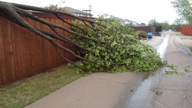
However, a second round or line of storms is possible across northern North Texas from around 10 p.m. to 3 a.m. A line of storms could move out of Oklahoma and move mainly along the Red River. The southern end of the line could try and move into the first couple rows of counties south of the Red River. Strong winds would be the main threat with that round.
This time of year, our beneficial rain usually comes with a chance for severe storms. This is one of those situations.
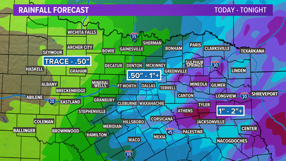
Locations from D-FW to the east look like they could pick up around a half an inch to 1in or more of rain with this round of thunderstorms.


Remember to download the WFAA app to check one of our dozens of local radars near you as well as the latest forecast, cameras and current conditions.


