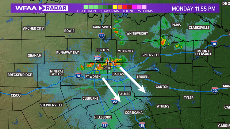
Updated: 12 AM Tuesday
No more warnings or watches for North Texas as of midnight Tuesday.
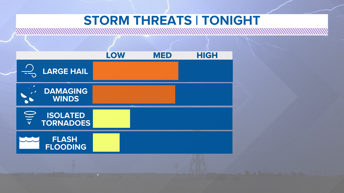
The main concern with these storms will be quarter size hail or larger and wind gusts 60+ mph.

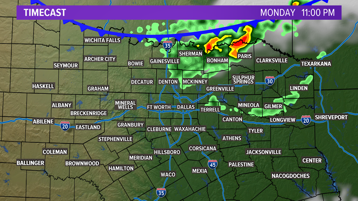
A cluster of storms along the front will push south over the Red River just after sunset.
The best time frame for storms to become severe will be 9 p.m. Monday through 1 a.m. Tuesday.
RELATED: Check the WFAA radars


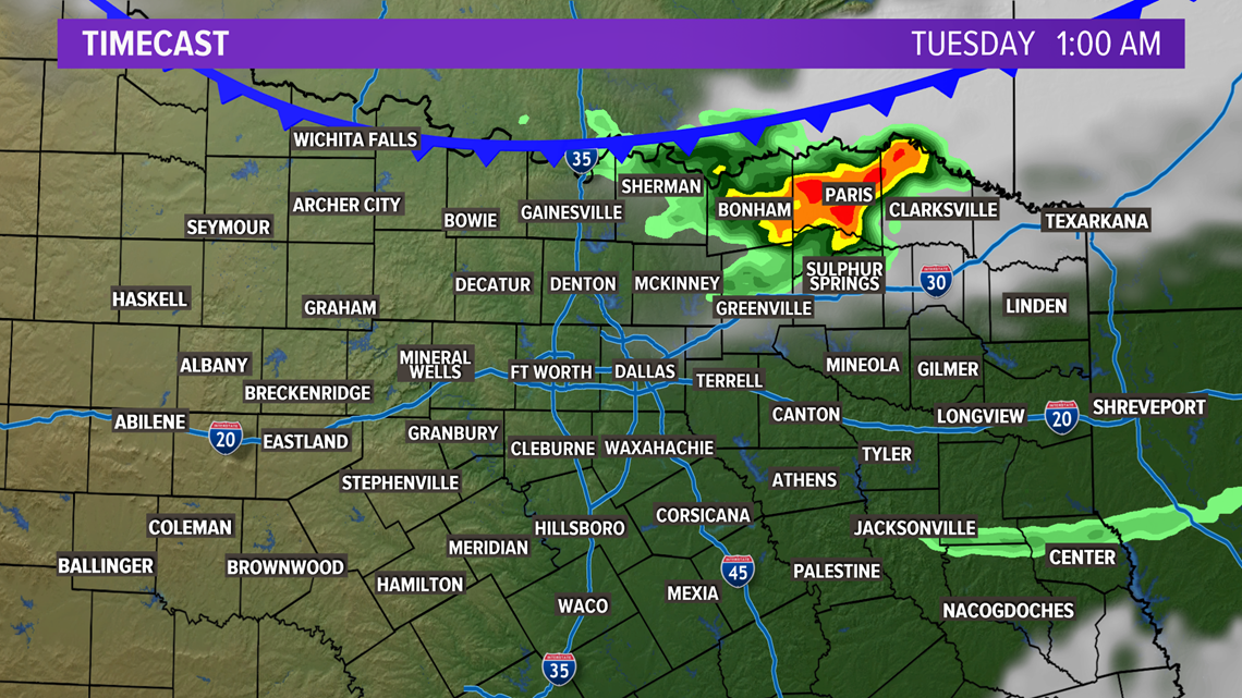
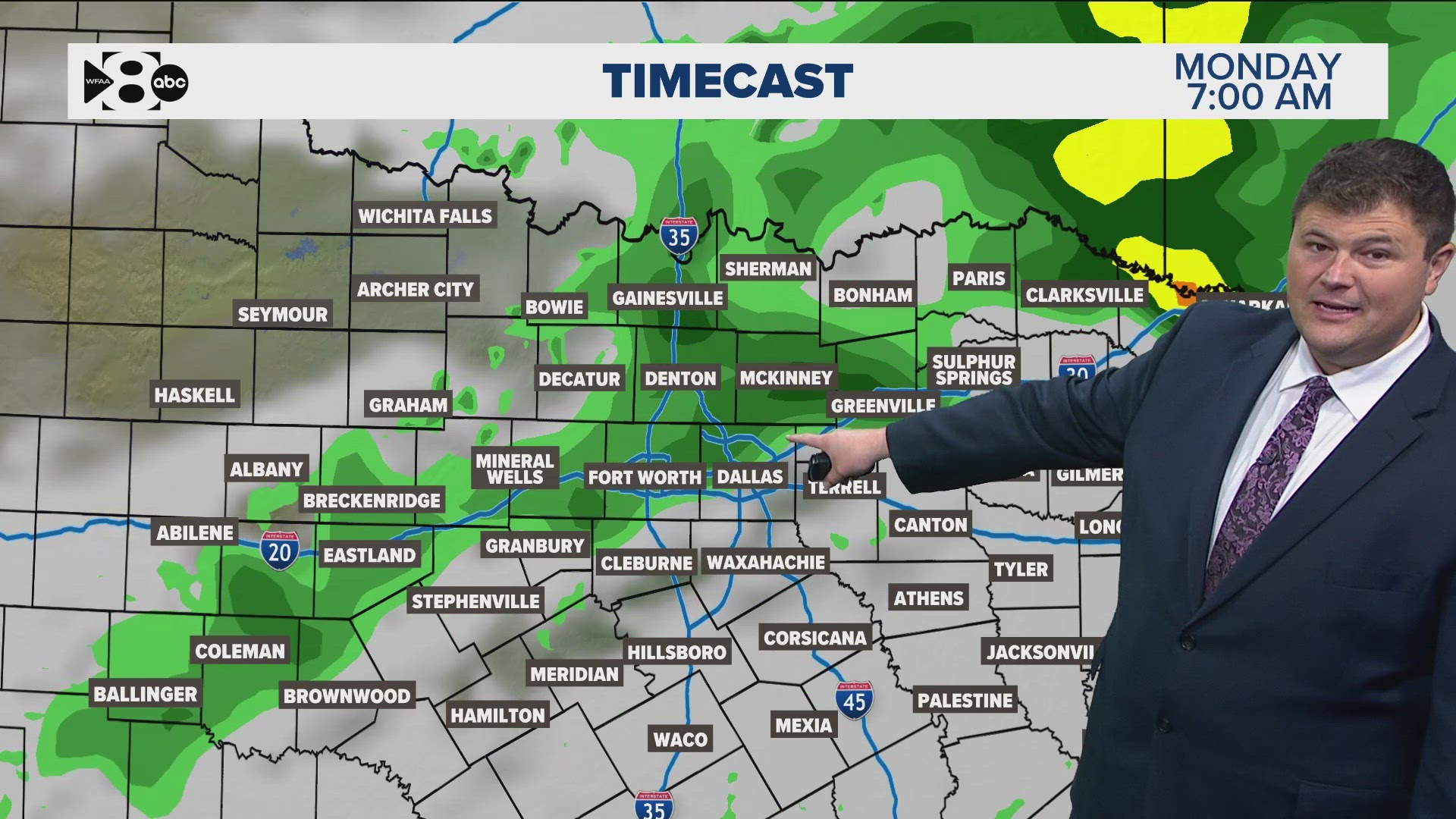
As the storms push south toward Interstate 20, they should lose quite a bit of intensity.
The severe threat should be limited overnight, but the rain chance and a hail threat will continue overnight with any storm that continues along the front.

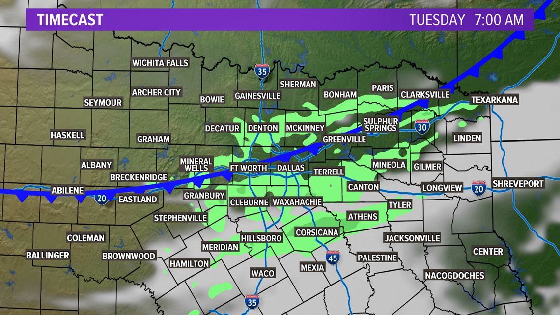
Still some uncertainty on the evolution of storms as the cold front moves south, so stay with WFAA for the details throughout the evening.

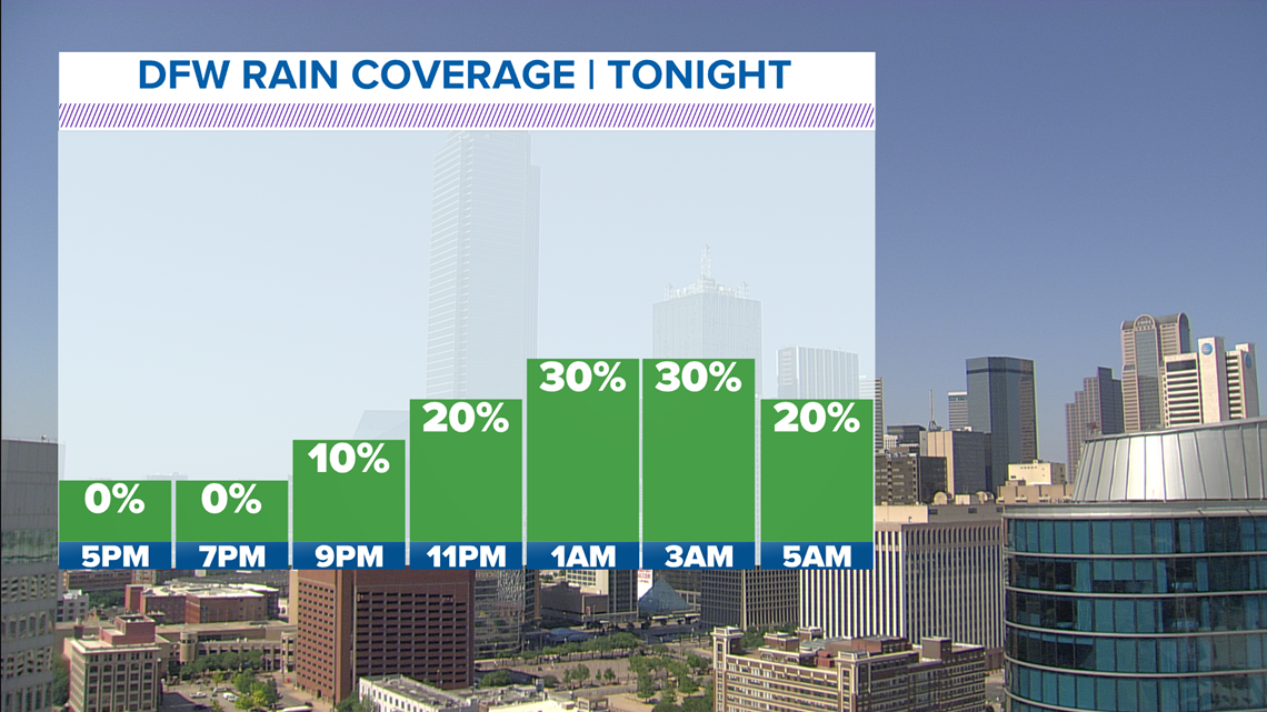
Once the front clears North Texas Tuesday afternoon, much drier and cooler air will filter in and high temperatures will be about 10-15 degrees cooler than Monday.
Remember to download the WFAA app to check one of our dozens of local radars near you as well as the latest forecast, cameras and current conditions.


