DALLAS — Be sure to download the WFAA app to track the latest forecast and get alerts from our team.
Beryl hit the Texas coast near Matagorda, southwest of Houston, early Monday morning as a Category 1 hurricane with max sustained winds of 80 mph. The storm will gradually move northward more inland, meaning North Texas will see impacts today.
Here's the latest updates on what to expect:
Quick Notes:
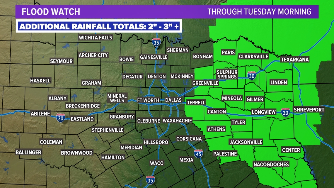
- Flood watch for eastern portions of North Texas
- Heavy rain possible from Beryl
- Western portions of the area will see little to no rain
Hurricane Beryl live radar
North Texas rain chances
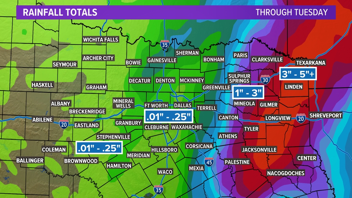
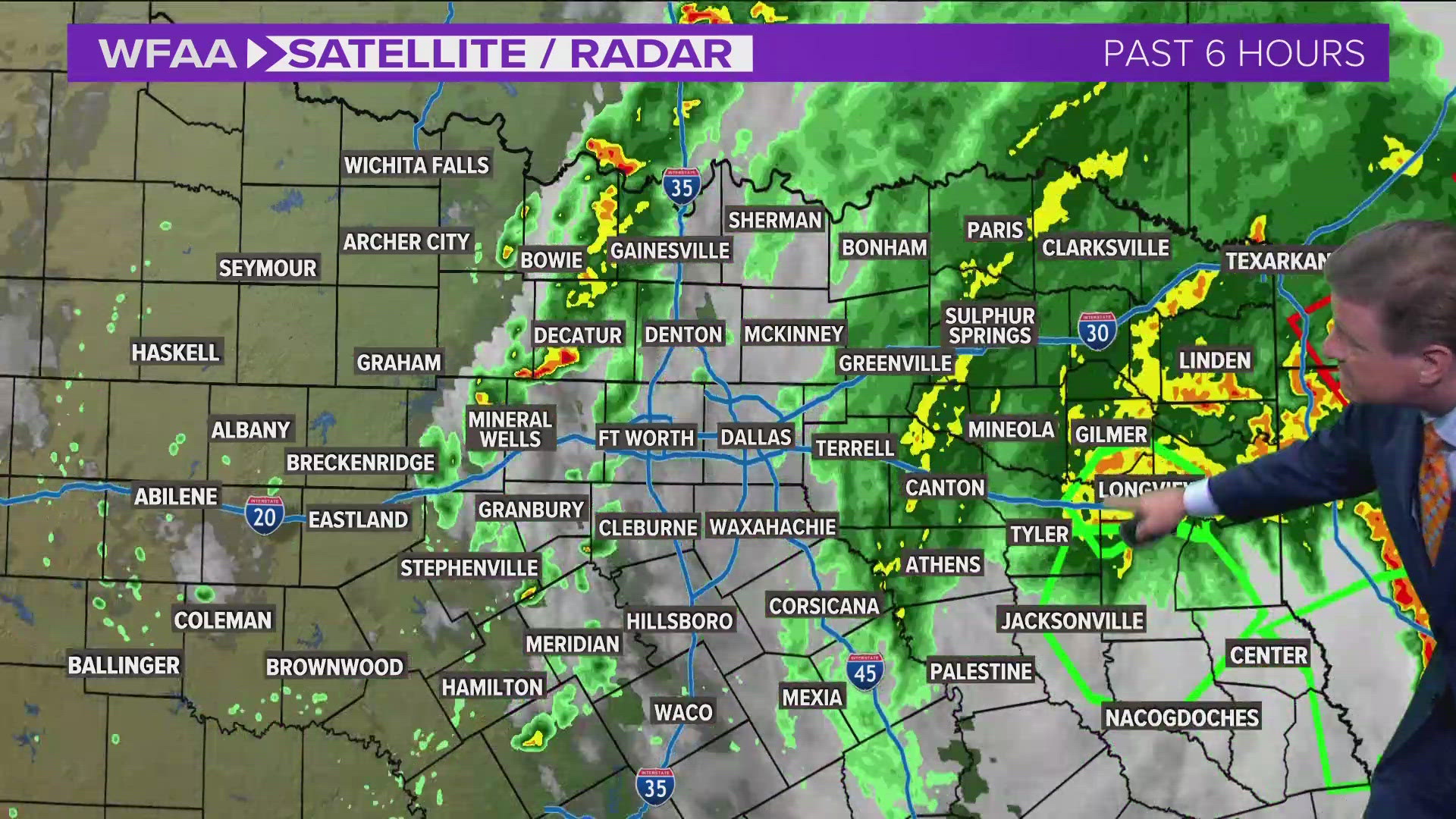
After Hurricane Beryl made landfall near Matagorda on the Texas coast early Monday, the remnants spread northward. Moisture from those remnants brought heavy rain to eastern portions of NTX. Scattered showers and storms are still possible in the metroplex, but much more rain will fall east.

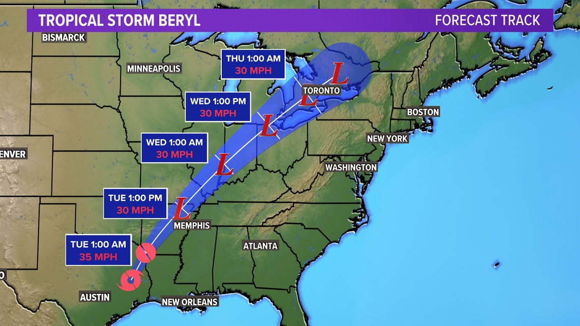
Beryl's forecast track
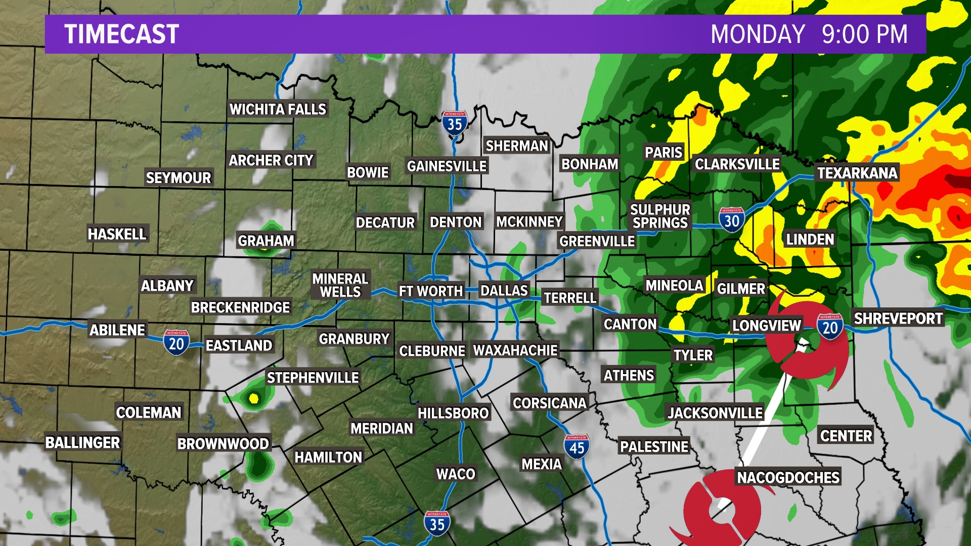
Rain totals the next 24 hours will change drastically from west to east. The highest totals will be east of DFW. Beryl's track takes it towards Arkansas overnight as it weakens to a tropical depression. The remnants of Beryl will then track towards the Great Lakes during the middle of the week.

TIMELINE:

