DALLAS —
This week
While temperatures won't be "cool" by any means this week, it will be better than what we have been seeing recently. This also comes with a drop in the humidity after the Sunday evening cold front.
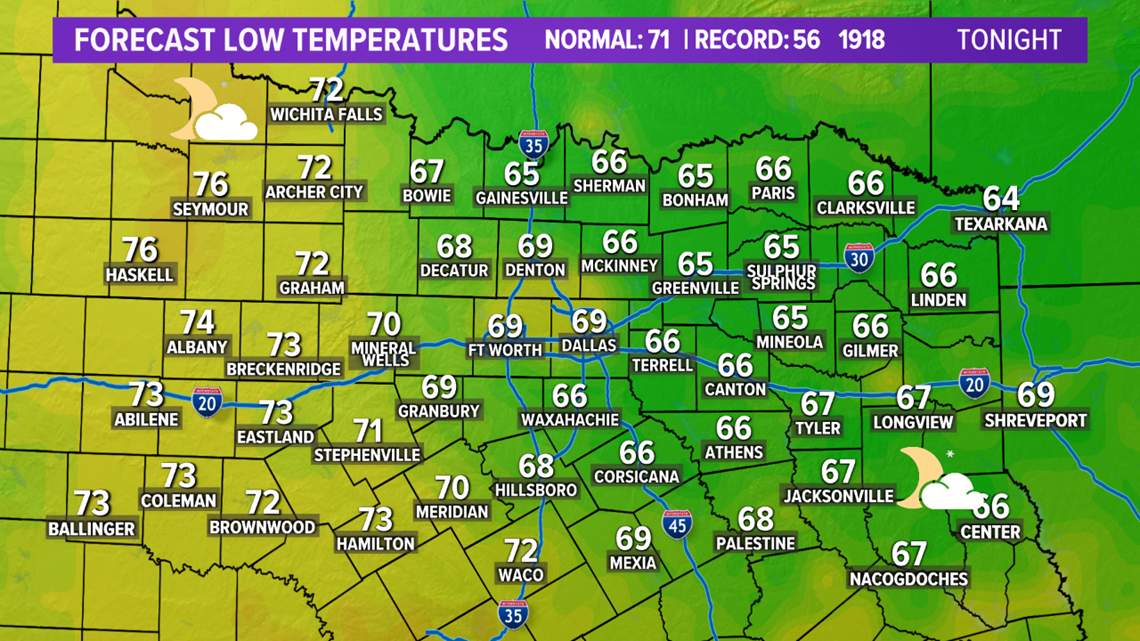
So the middle 90s should feel like the middle 90s instead of heat index values being in the upper 90s or above 100° like typically happens in North Texas. It will also make for a beautiful start to the day on Tuesday. Look at these overnight low temperatures across North Texas:


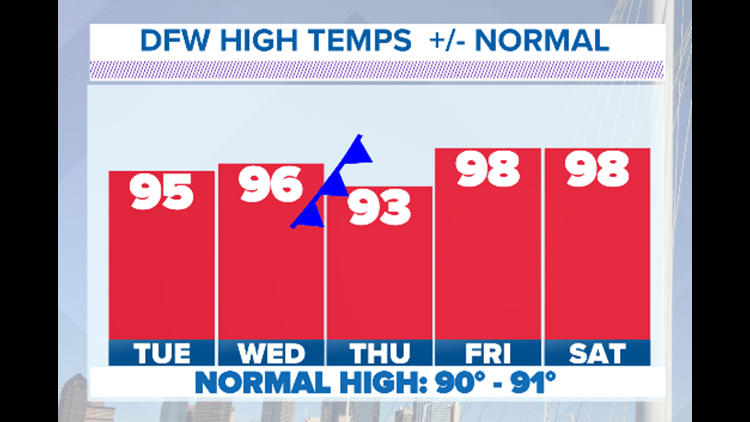
This will feel great before a warm up in the afternoon hours. Temperatures will top out Tuesday in the middle 90s, so slightly warmer than Labor Day. As you back to work and school after the long weekend, wear the light colored clothing and short sleeves, but it will not be anywhere near as uncomfortable as before Labor Day weekend. Thank you "cool" front!
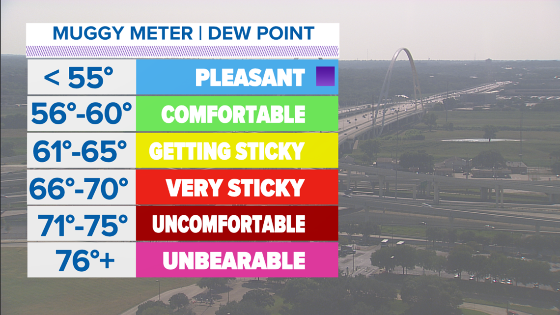
Temperatures will continue to climb back up into the middle to upper 90s by the middle of the week, but another cool front arrives on Wednesday. We will not see any rain chances out of this front, but another shot of drier air will arrive in North Texas. Dewpoint temperatures, which is the measure of the moisture in the air, will drop down into the lower 50s!!!!


This will help make the stretch of middle to upper 90s we have for the rest of the week more manageable. So, it won't be as cool as many would like it to be, but we will take any improvements we can get!


