Sunday evening
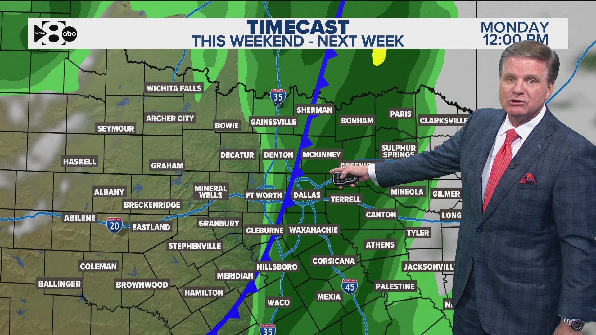
We will be watching for showers and storms to pop during the afternoon into evening.
Click here to check your local radar
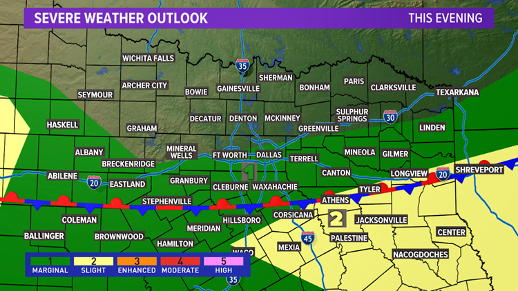
With storms this morning making it all the way through North Texas this morning, that pushes favored areas for afternoon and evening storms across southern North Texas.
For D-FW, can't rule out isolated to spotty thunderstorms during the afternoon and evening, but most places will likely stay dry.


A few storms during the afternoon and evening could be severe with a threat for downburst winds and hail up to the size of quarters.
Any thunderstorms will also be capable of very heavy rainfall and frequent lightning. If you have outdoor plans on Sunday, make sure to stay weather aware! Move things indoors and get off local lakes if a storm is nearby.
Most rain will come to a close after sunset or most south of North Texas by Sunday night.
Because of the "cold" front, high temps on Sunday will be cooler than Saturday with most places in the upper 80s to low 90s.
Remember to download the WFAA app to check one of our dozens of local radars near you as well as the latest forecast, cameras and current conditions.


