DALLAS — Wednesday morning brought the coldest temperatures of the season so far. Some locations dipped into the 30s, and others even reported the first freeze of the season!
On to the warmth...
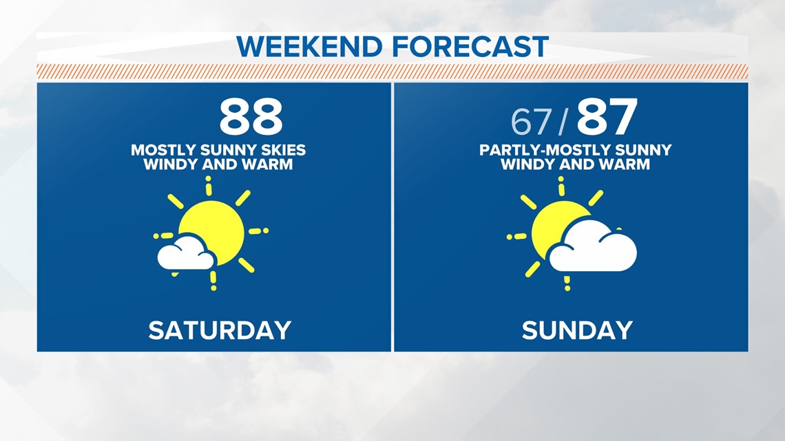
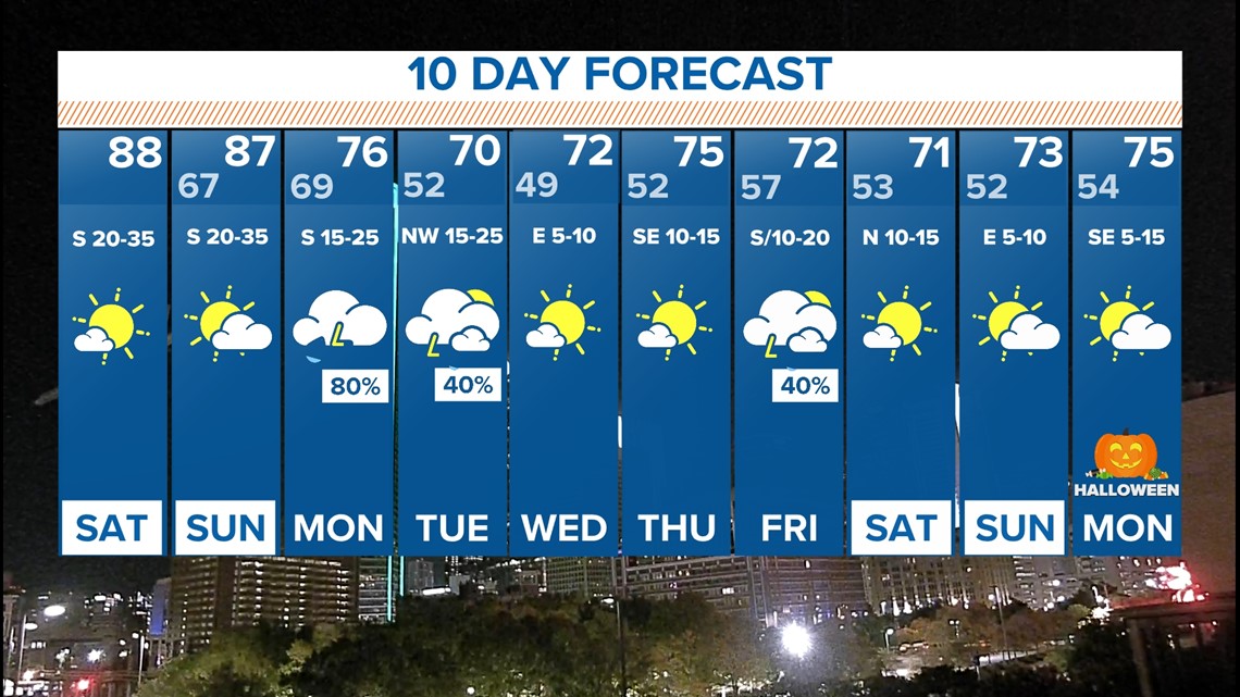
Winds have now shifted to the south. A combination of a southerly-wind, sunshine and dry air will help temperatures climb to the upper 80s across Dallas-Fort Worth this weekend.

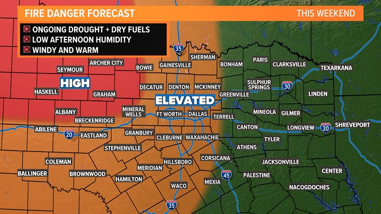
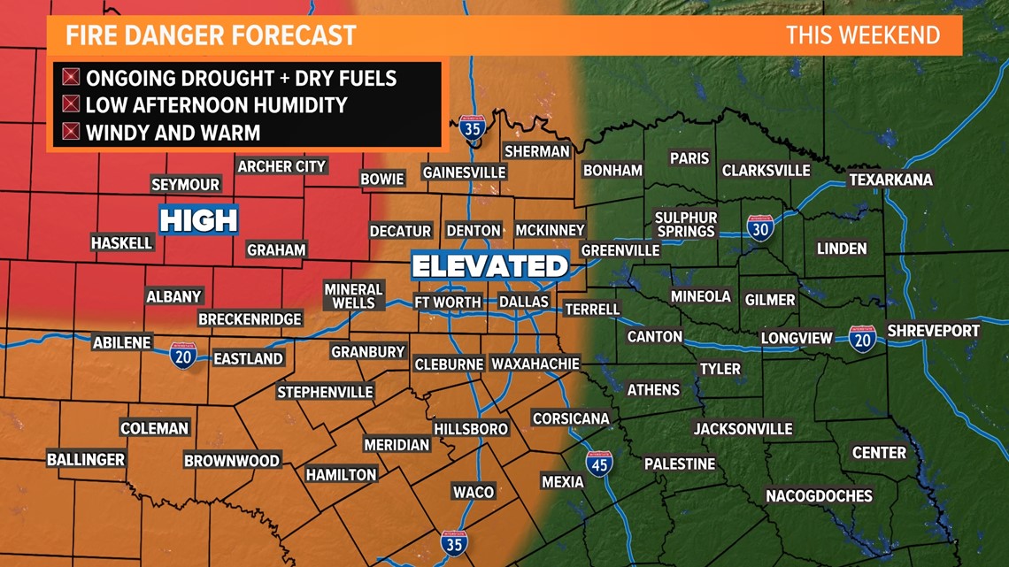
Elevated Fire Danger
With the temperatures climbing, the wind speeds increasing, the humidity levels staying very low and drought conditions persisting, the fire danger remains elevated through the weekend. Please refrain from any outdoor burning this weekend.

Changes early next week.
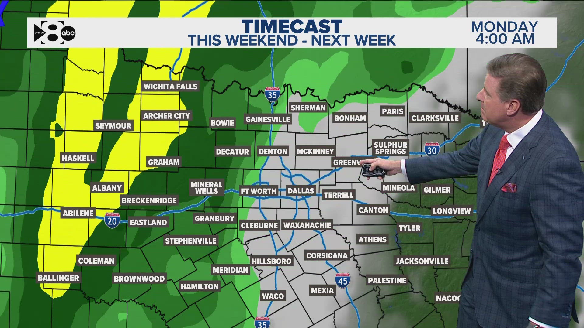
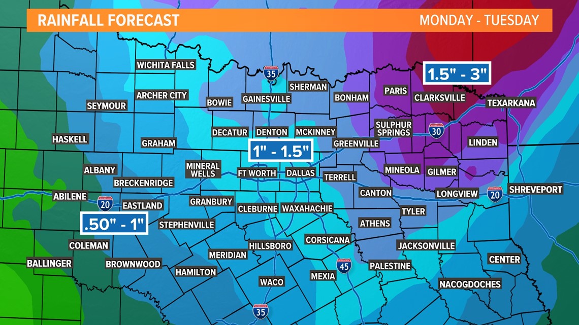
Our next system comes in early next week. It'll help bring a few rounds of showers and storms back to the area.
Rain totals do not look to be drought-busting across the area, but look better than our last round of rain for most.
Around 1" looks to be the average for most of North Texas with some places picking up more (eastern N. TX) and some picking up less (western N. TX).

Snow in Texas?
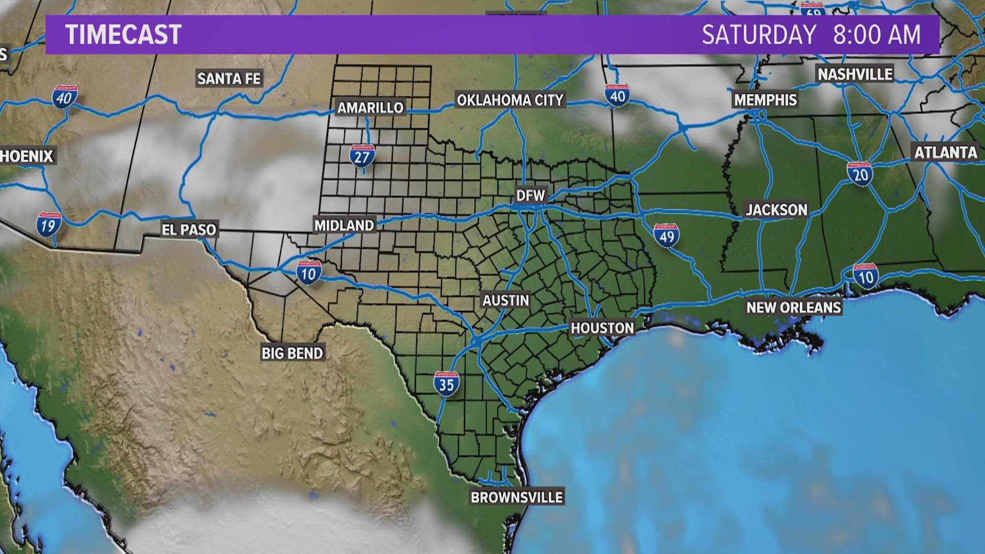
First and foremost, NOT here in North Texas. There's a chance that on the backside of this system Monday night, a few snowflakes could mix in with the rain in the panhandle; most likely even northwest of Amarillo. No accumulation will occur, but it's just a sign of the season.

More Texas headlines:

