DALLAS — Could we see snow or sleet early Tuesday morning across parts of North Texas?
Yes!
Is it time to panic?! Is it time to rush to the grocery stores and swipe up all the bread, milk, toilet paper and.... adult beverages?
No. No, it is not.
Let’s talk about what’s going on.
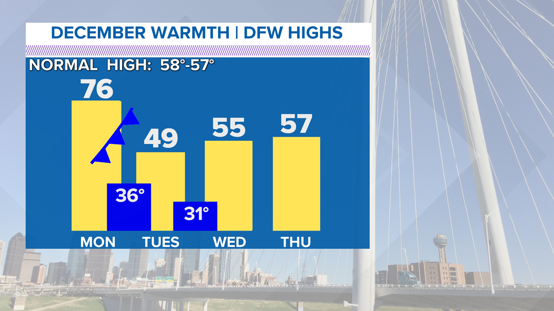
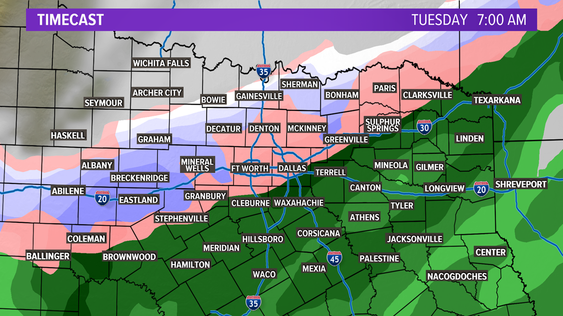
After a stunning December weekend of warmth, big changes are on the way. A strong cold front moves in Monday night/early Tuesday morning and temperatures will plummet by nearly 40°. The wintry mix is possible between 3 a.m. and 10 a.m. There could also be very light accumulations on grassy surfaces and rooftops. No icy travel is expected.


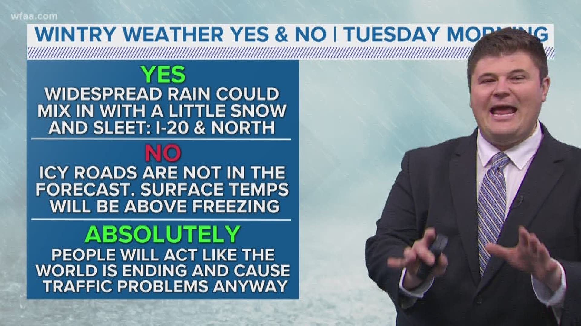
Widespread light rain will develop late Monday and continue overnight Monday into Tuesday morning. For areas north of I-20, the cold air may reach the precipitation soon enough to change it to a brief period of snow showers mixed with rain and sleet.
Temperatures at the surface, and the ground itself, will remain above freezing. That means travel issues, slick sidewalks, slick roads, accumulation, etc. are NOT expected. Tuesday afternoon highs will struggle through the 40s.
So, yes. Wintry precipitation is possible on Tuesday morning. But leave the store shelves alone...we will survive!


More on WFAA:
- 1 dead in shooting in Vickery Meadow, police say
- Photos: North Korea conducts 'important test' at once-dismantled site
- White House 'working' on official visit between Trump and Russian Foreign Min.
- Inside Texas Politics: With a near-record murder rate, why isn't there a plan to fight crime in Dallas?
- Bexar County deputy arrested, accused of conducting unlawful strip searches

