DALLAS — The week will be dominated by warmer-than-normal temperatures and chances for severe storms.
Highlights:
- More storms on Monday with a severe threat
- Still very warm and humid
- More storms and rain next week
Monday
Rinse and repeat.


It'll be a very warm, humid and breezy day, with highs in the upper 80s to low 90s.
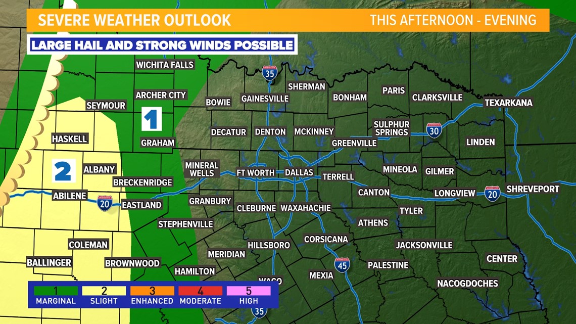
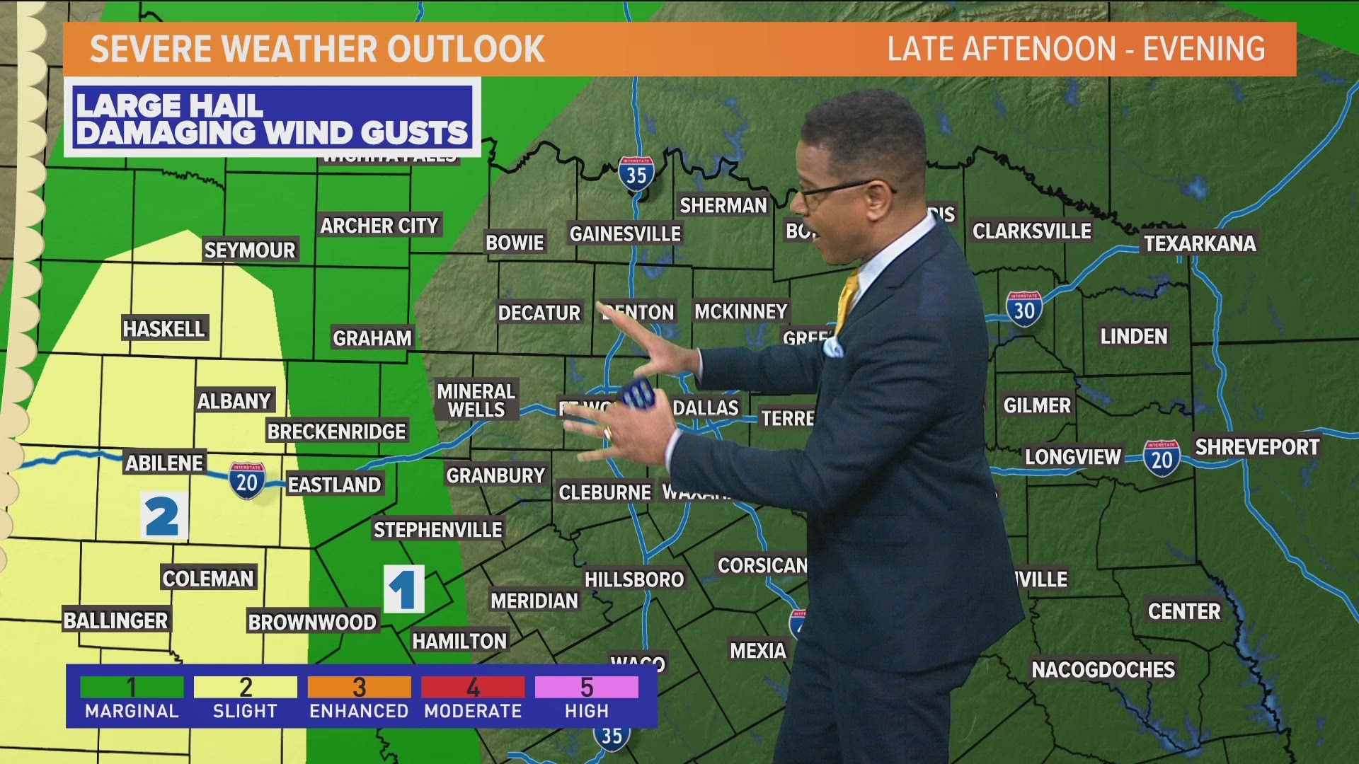
Storms will be possible again mainly for areas west of D-FW during the afternoon into evening hours (4 p.m. to 9 p.m.).
Storms will be strongest and have the best chance at being severe west of D-FW with large hail and damaging winds.
If storms move into D-FW they will likely be weakening, but would still have a threat for some strong winds and hail.
10-day outlook
Warmth and more rain!
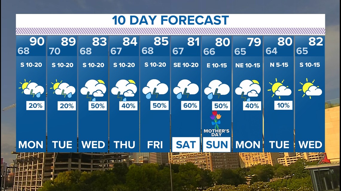
Monday and Tuesday of this week will once again feature chances for isolated to scattered t-storms mainly across western North Texas.
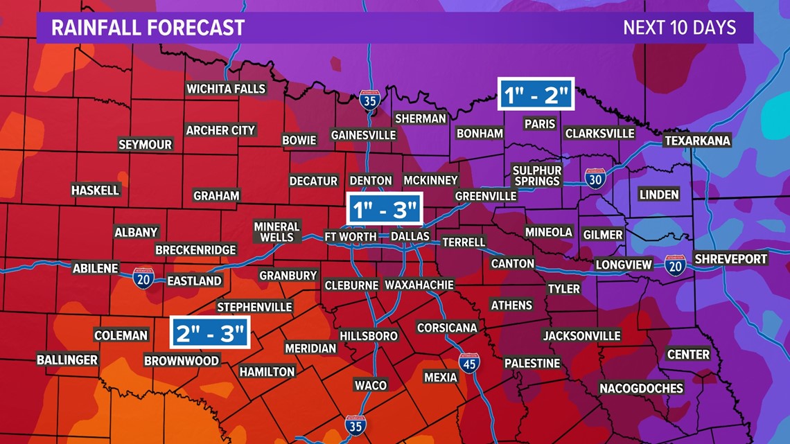
The second half of the week into next weekend looks like it will feature better chances for showers and storms. Daily coverage looks higher and because of more rain and cloud cover temps will be a bit lower.
The severe threat later this week doesn't look high by any means, but is not completely zero. Just continue to stay weather aware!


