DALLAS — The summer months are quickly approaching! Of course, the WFAA Weather team has already been getting the ol' question 'how bad will this summer be?'
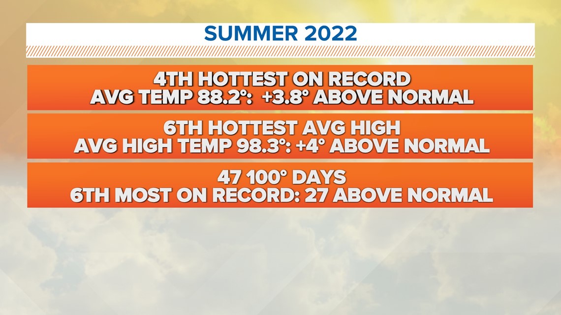
Summer 2022 was an anomaly, but still fresh on our minds. Last summer officially went down in the record books as the fourth hottest on record with an average temperature of 88.2 degrees. Forty-seven days reported high temperatures of at least one hundred degrees or more.


The upcoming summer has a different large-scale pattern in place. For the last three years, we have been under the influence of the La Niña Southern Oscillation. This typically shifts our jetstreams to bring on drier and warmer than normal summers for the southern United States. This is one of the biggest reasons behind the record-setting summer of 2022.
Recent observations have shown that our large-scale pattern is shifting.
El Niño transition
El Niño is the "opposite" of La Niña. It is described as the warming of the equatorial Pacific waters. This is already being reported off the western coast of Peru. The ocean-atmosphere interactions are sensitive. The winds along the equator responsible for the warming of water will also cause large-scale jet stream shifts. We call this El Niño. El Niño conditions are associated with a cooler and wetter than normal pattern for the southern United States.
Does this mean it won't be hot?
No. Of course, we will be dealing with heat...we live in Texas. However, it is unlikely that we will have a record-setting summer.
Outlook
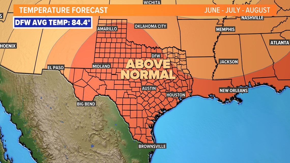
The average temperature for summer is near 84.4 degrees. This takes into account morning low temperatures too. The current outlook shows that most of North Texas will be trending warmer than normal for the majority of summer. Again, it looks unlikely that summer 2023 will be setting any records.


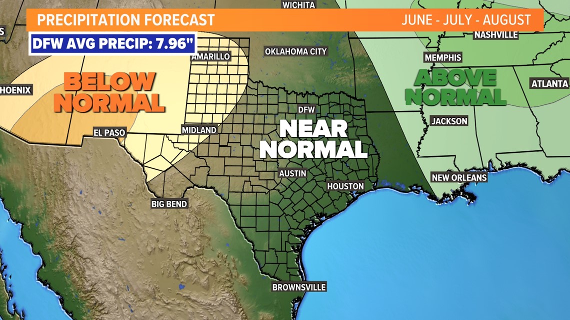
The good news? It looks like rainfall will be near normal. Normal rainfall for our summer months is close to eight inches at DFW Airport.


