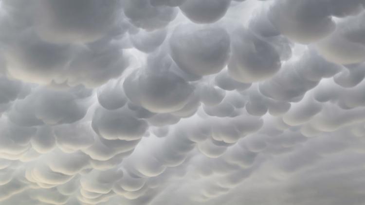
DALLAS — In the seemingly never-ending cycle of thunderstorms we've had in North Texas, tonight brought something a little extra special.
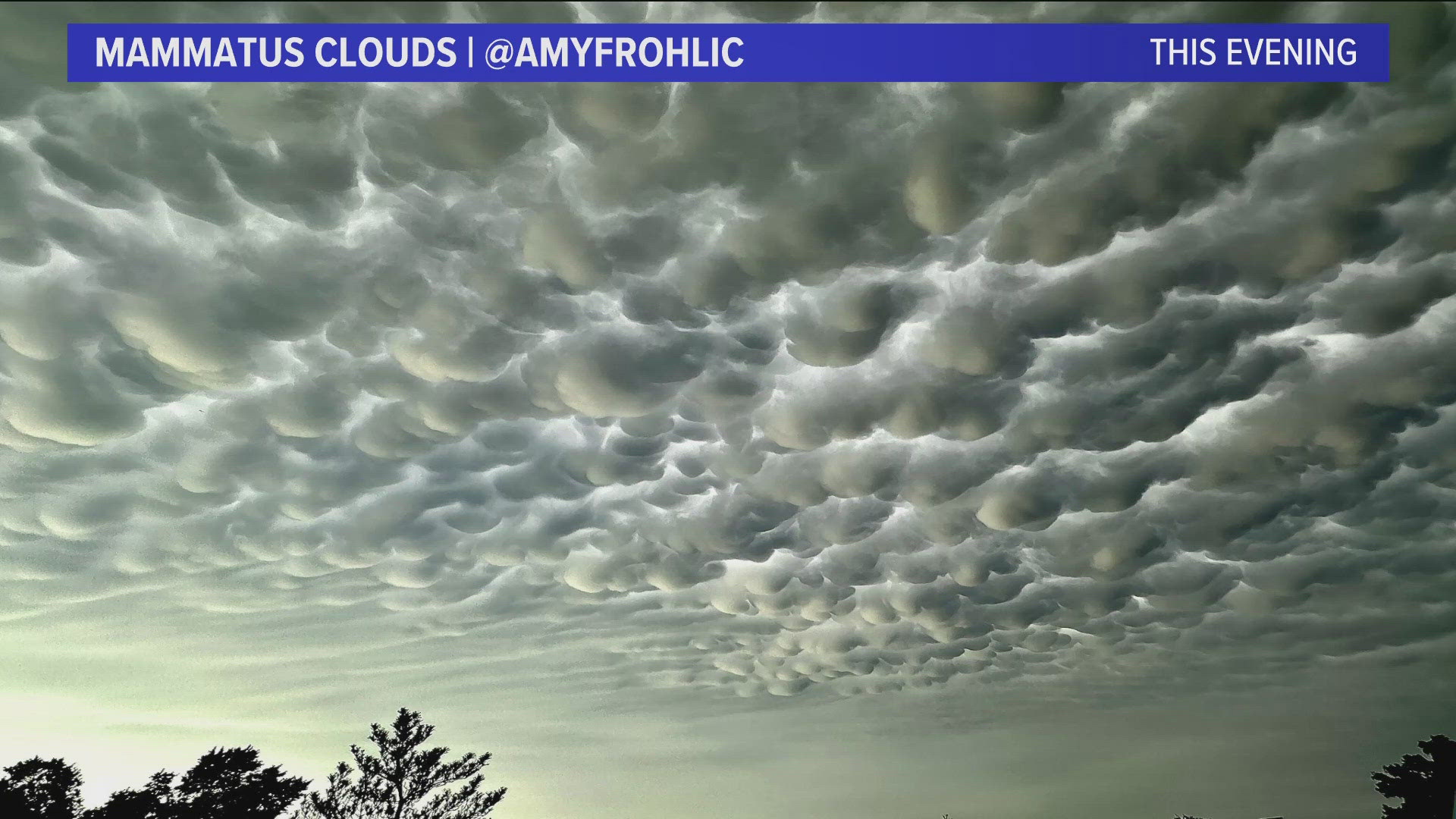
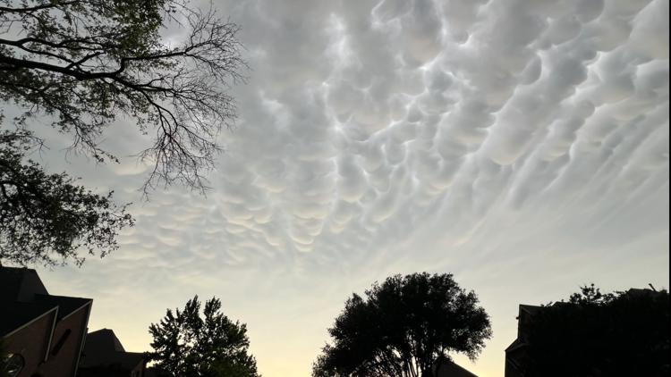
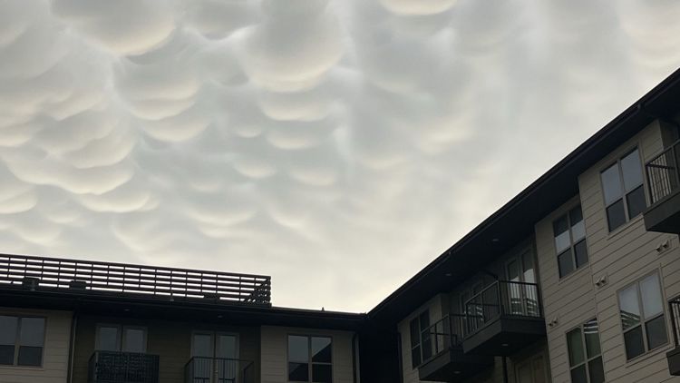
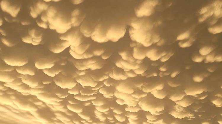
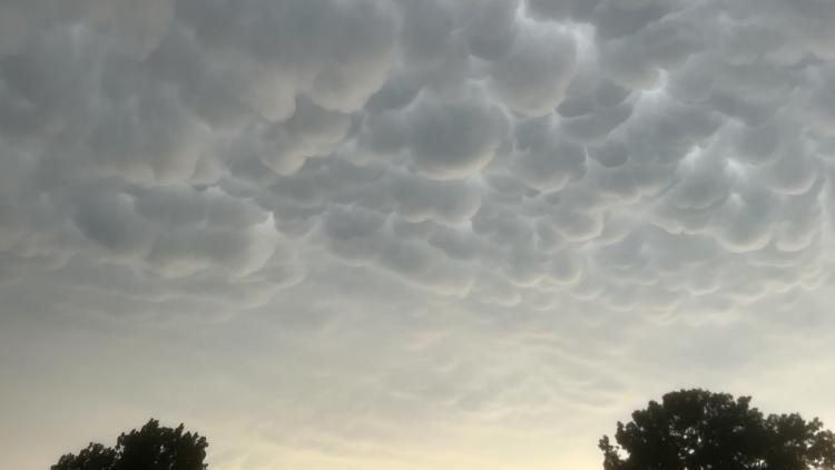
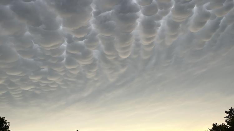
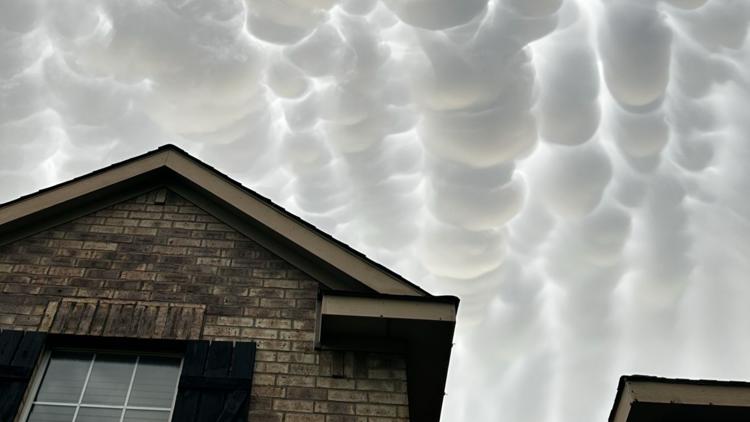
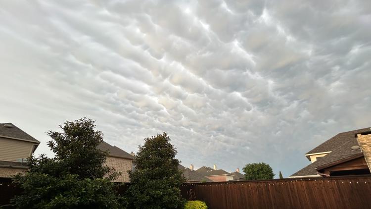
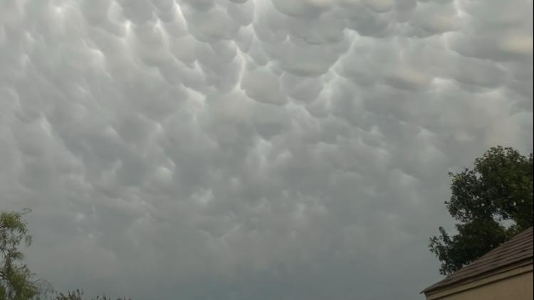
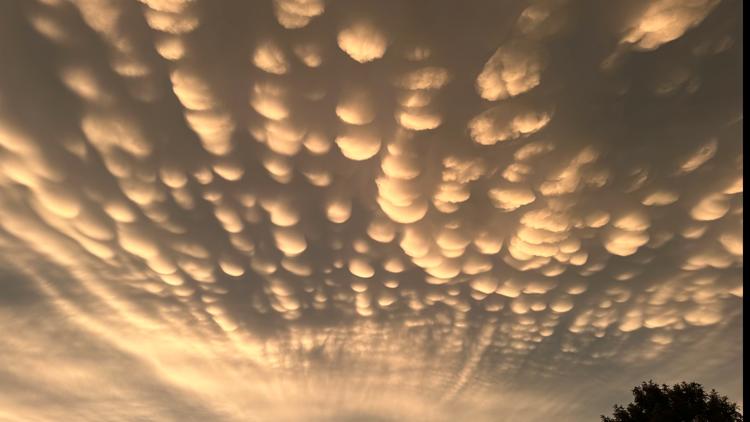
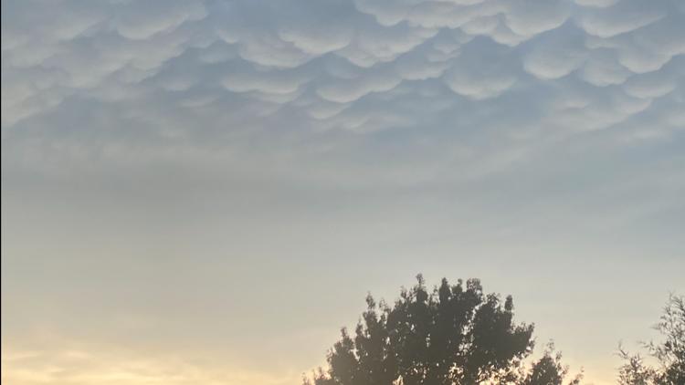
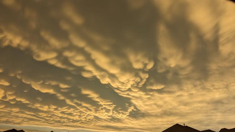
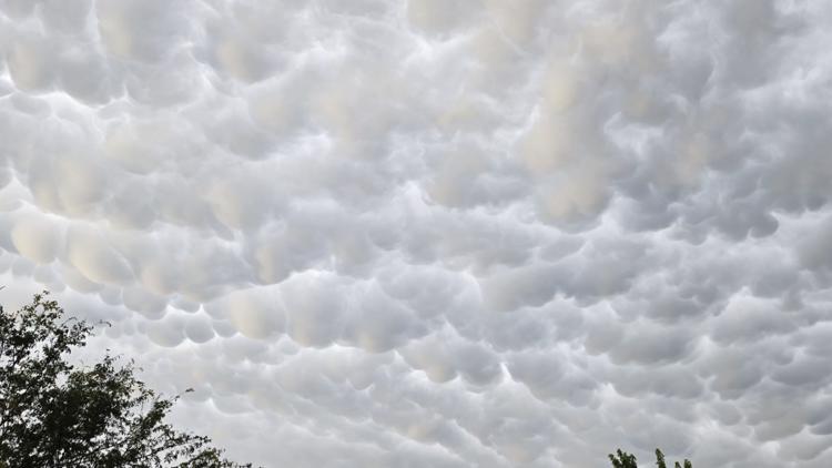
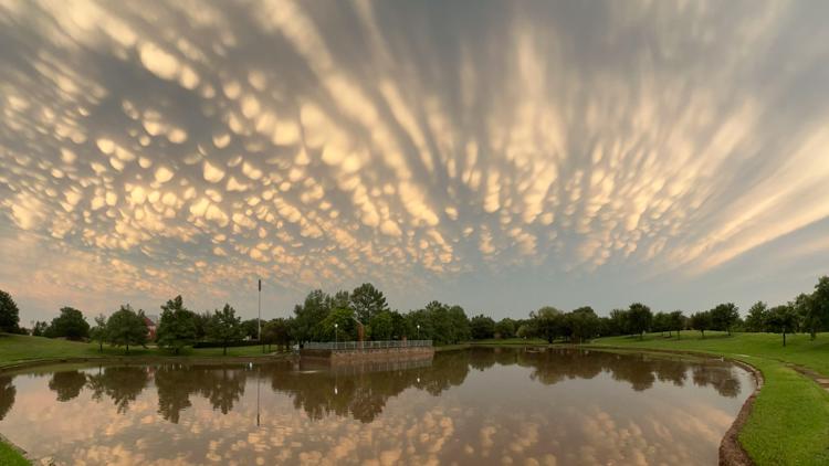
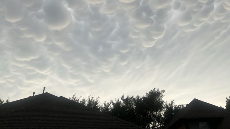
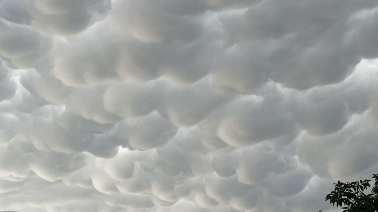
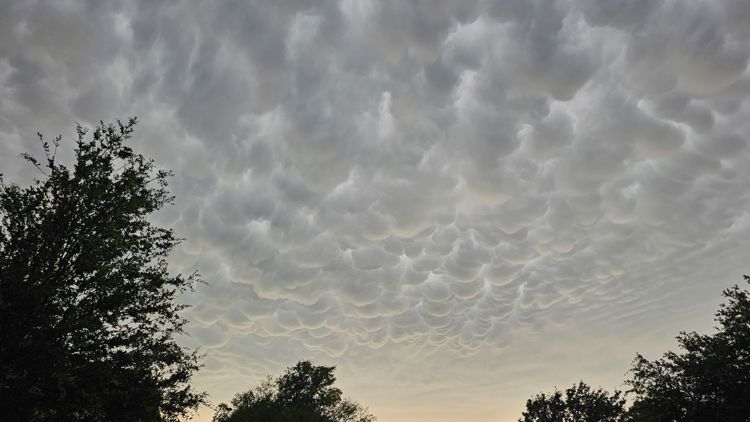
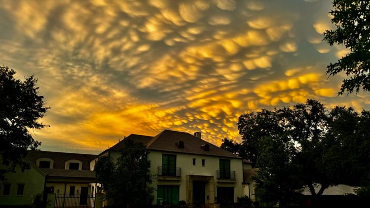
Many of you sent us pictures of mammatus clouds tonight on the back end of the severe thunderstorms that rolled through this evening.
What Are Mammatus Clouds?
They've been my favorite clouds for years. They're just astonishing to look at. And if you have a childish sense of humor like me, then you'll giggle at the etymology...
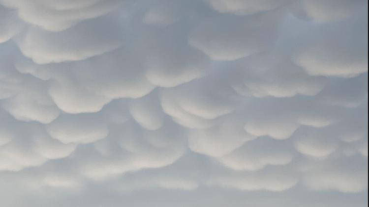
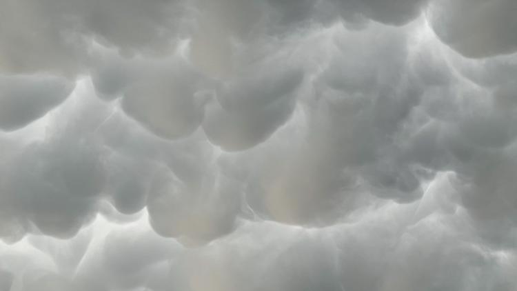
Mammatus clouds, derived from the Latin word *mamma* meaning “breast,” are aptly named because of their pouch or well... breast-like appearance. Unlike most clouds that form in upward motions, mammatus clouds are the result of downward-moving air, creating a series of sagging, rounded protuberances.
Mammatus clouds during June 2 storm in North Texas
How they form
To understand mammatus clouds, we need a brief detour into cloud formation. Most clouds form when warm, moist air rises, cools and condenses into water droplets or ice crystals. However, mammatus clouds turn this process upside down—literally.
Here’s how it works
Mammatus clouds are often associated with severe thunderstorms like we saw Sunday afternoon and evening. They typically form on the underside of an anvil of the cumulonimbus. That's the flat, spreading top of a thunderstorm cloud.
Cool, dense air within the anvil begins to sink. This descending air is filled with ice crystals or water droplets. As this cool air sinks into the warmer, less dense air below, it creates pockets of higher moisture. These pockets of air then stabilize and form the rounded, pouch-like structures that we see hanging beneath the cloud base.
The distinctive appearance of mammatus clouds is often enhanced by the interplay of light and shadow, especially during sunrise or sunset. The low angle of the sun can cast dramatic highlights and shadows, making the cloud formations even more pronounced and impressive. Just like we saw tonight. Thanks for all the great shots tonight!

