DALLAS — High heat continues through the beginning of August. Excessive Heat Warnings are in place and will likely continue through much of the week.
Quick facts
- No break from the triple digits this week
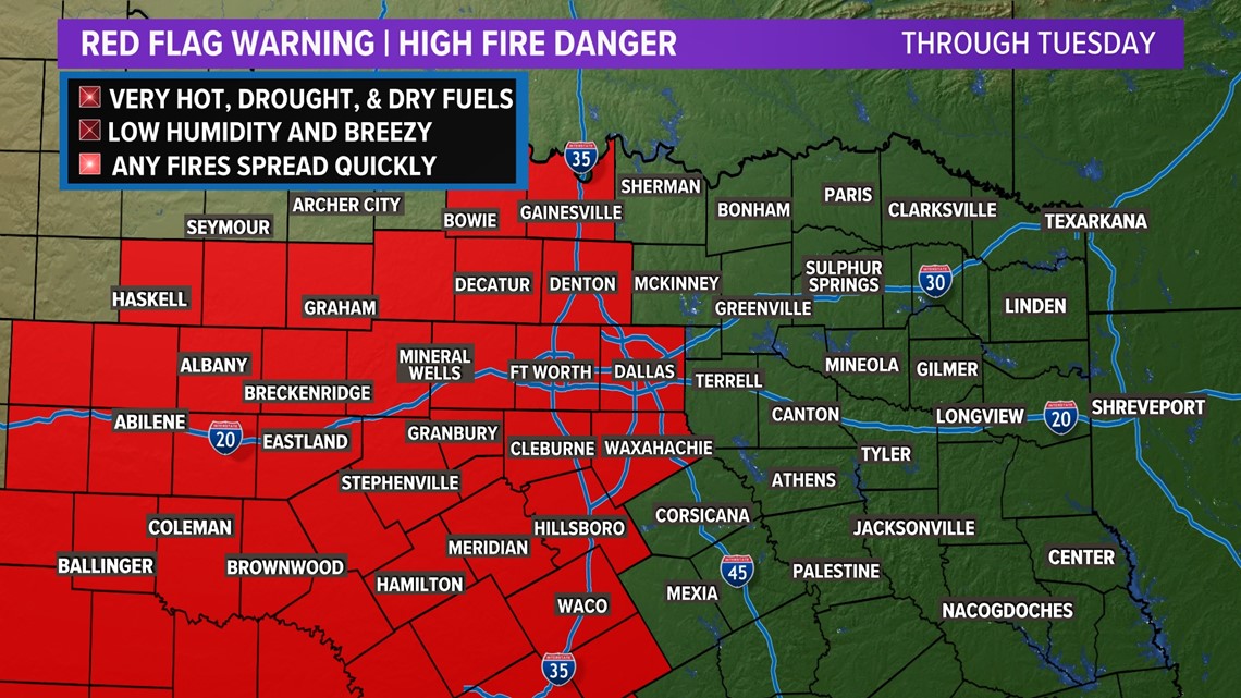
- High fire threat continues for the foreseeable future
- Slight rain chances tonight and Tuesday morning
Excessive Heat Warning
An Excessive Heat Warning continues to be in place for most of North Texas. This means that temperatures or the heat index could reach anywhere from 105° to 112°.
Continue to practice heat safety as heat like this can be dangerous if the proper precautions are not taken.


High Fire Danger
Because of drought and dry conditions, all counties along and west of I-35W are under burn bans with more burn bans continuing to be added each day in other parts of North Texas. Always check with your county for the latest information as more counties could get added to burn bans at any time and some counties take it day by day.
Fire danger will continue to stay high this week for areas along and west of I-35. Elsewhere, fire danger is not zero, but it is low. Continue to practice fire safety all across North Texas!


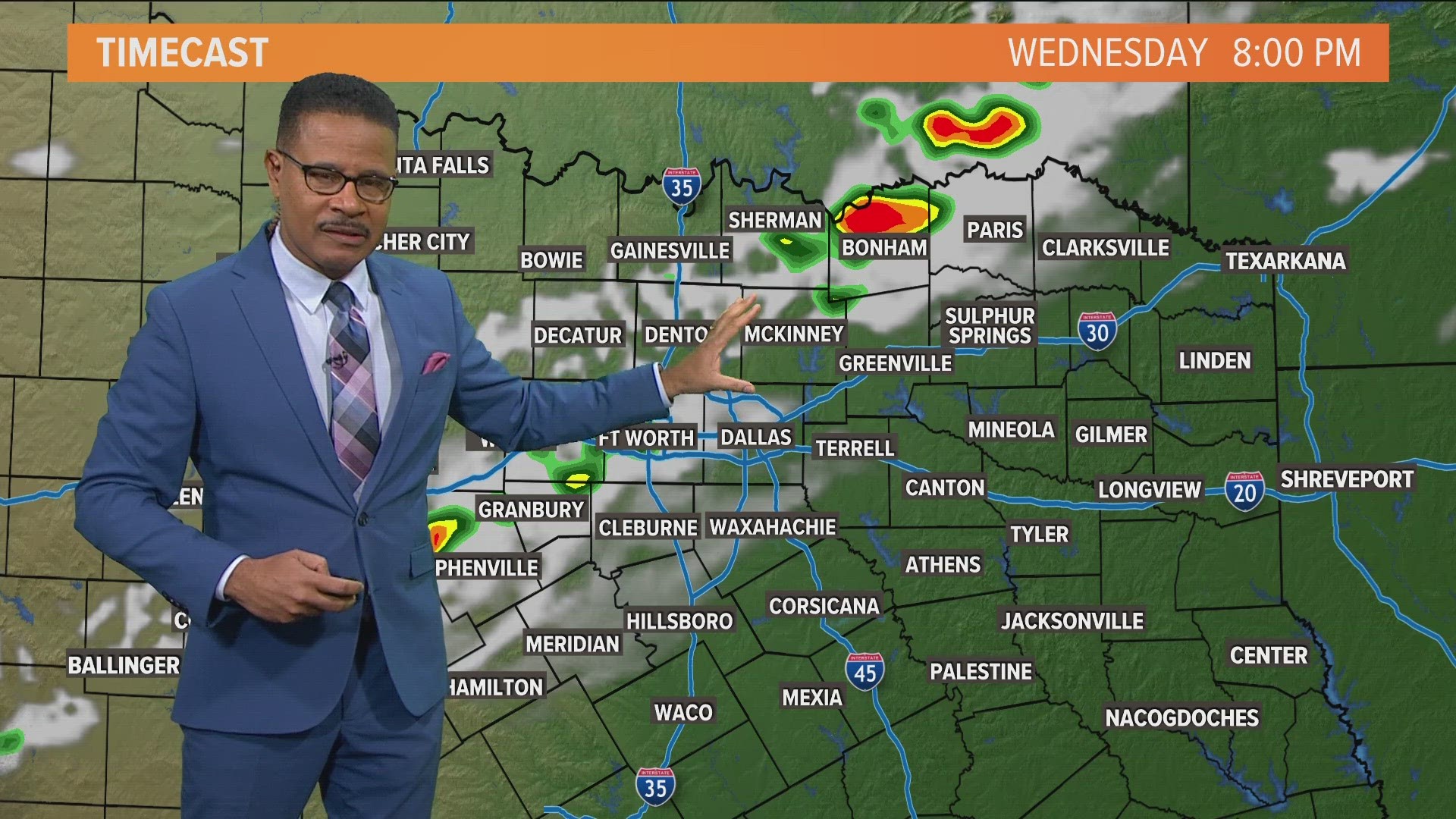
Isolated T-storms
Yes, there's a chance, but don't count on it!
A few isolated t-storms are possible Tuesday morning and again Wednesday. Not everyone will see them, but it is not impossible for a few storms to be out there. Consider yourself very lucky if you see rain!
As is typical anytime we get summertime thunderstorms, any storms could have strong wind gusts underneath them, but the overall severe threat is low.
10-Day Forecast


