DALLAS — Updated 4:55 am with new forecast information.
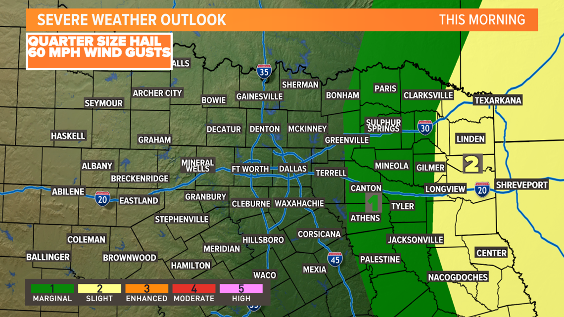
Showers and embedded storms will continue this morning. Severe weather is not expected. But, some small hail, gusty winds and locally heavy rain is possible.
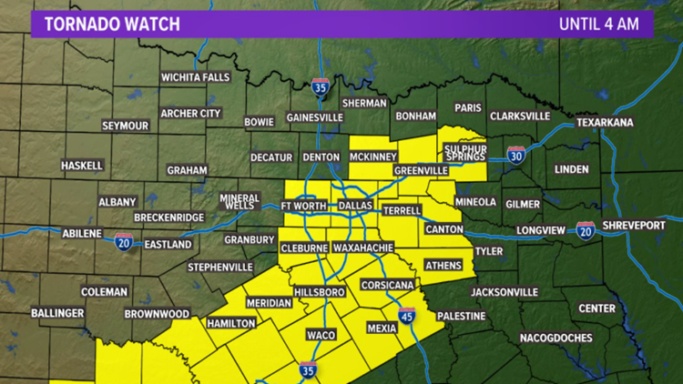
All severe weather watches have been canceled or allowed to expire early tis morning. The severe weather threat will shift into the far eastern portions of North Texas through early afternoon.


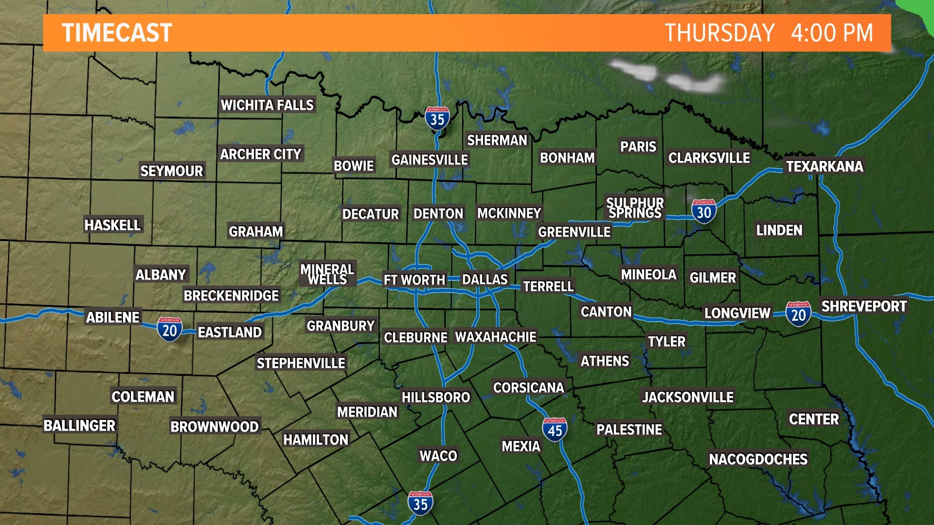
Lingering rain will be around to start Thursday morning, but will quickly clear off to the east during the day. In fact, most of North Texas will be dry by the midday hours.
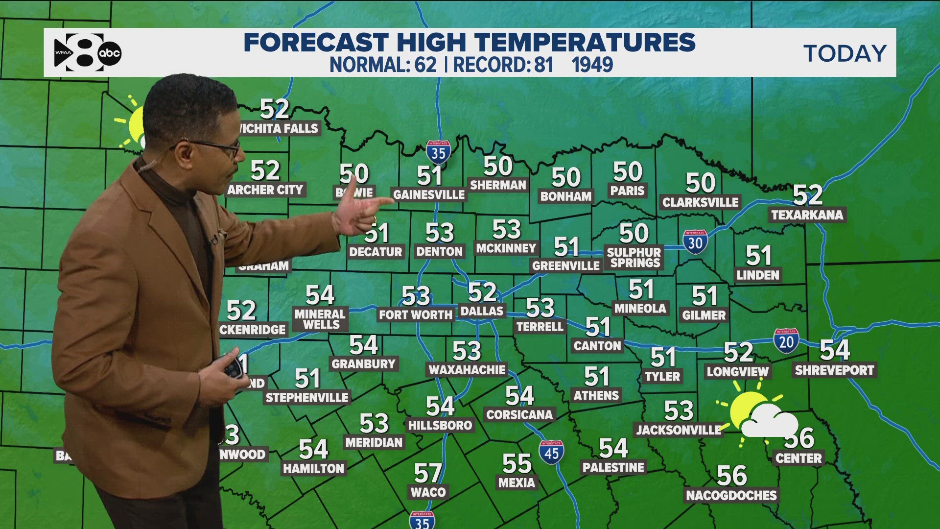
The rest of Thursday will be clear, breezy and cooler.
More beneficial rain is headed to North Texas with this round of storms as well. When it is all said and done, around 0.5 to 1 inch of rain is possible for most of the area. Lower totals are likely for western North Texas.
This upcoming rain along with the rain received on Monday should definitely help the drought situation!
Remember to download the WFAA app to check one of our dozens of local radars near you, get weather alerts, and see the latest forecast, cameras and current conditions.


