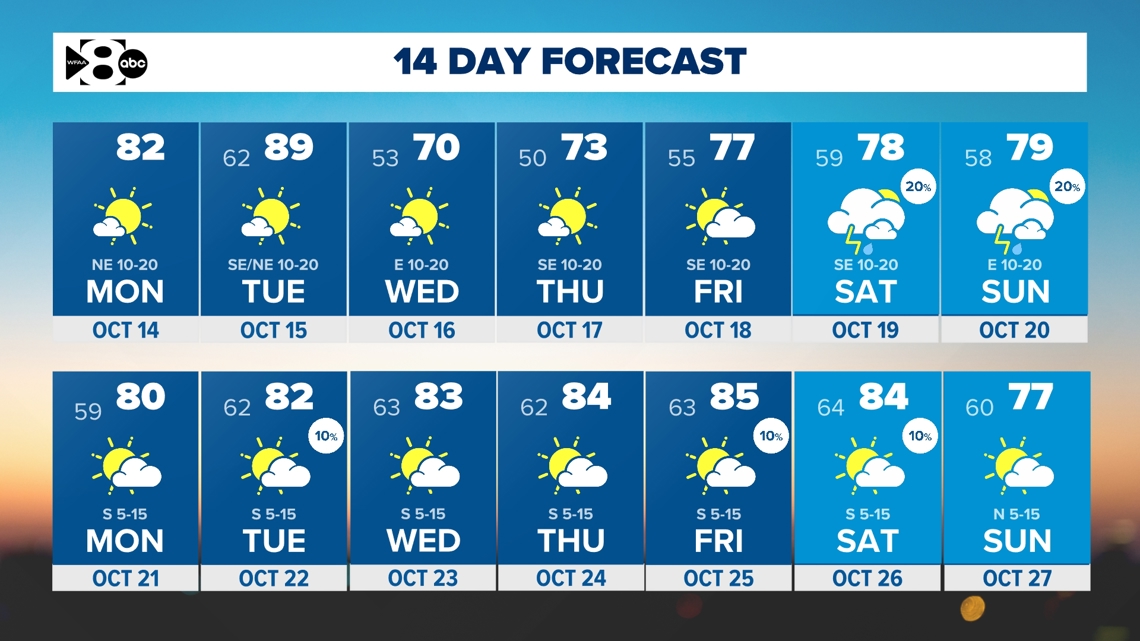
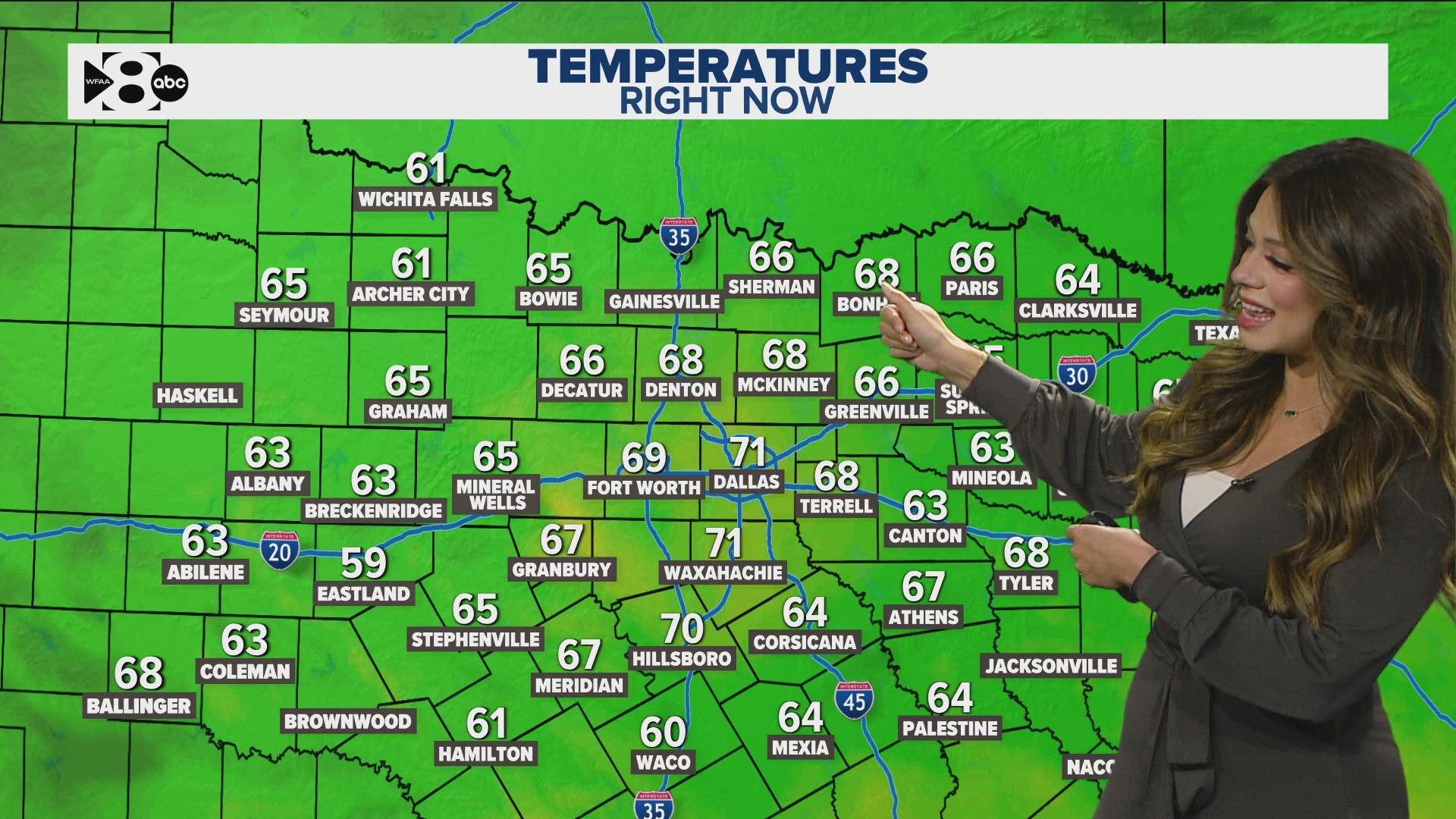
DALLAS — On average October sees the biggest drop in normal high temperatures and it is the 2nd wettest month of the year. Will the second half of the month reflect that?
Let's dive into that with a look at what's to come weather-wise these next few days.
Quick look ahead:
- Cool-down arrives Monday. A stronger one on Wednesday.
- Elevated fire danger this week
- Rain chances next weekend
Okay, when will fall-like weather arrive in North Texas?
A stronger cold front arrives Monday! The ridge of high pressure responsible for bringing the warm and rain-free days will move west and weaken. While it won't feel overly "cool" on Monday and Tuesday, it will be much better than this weekend.

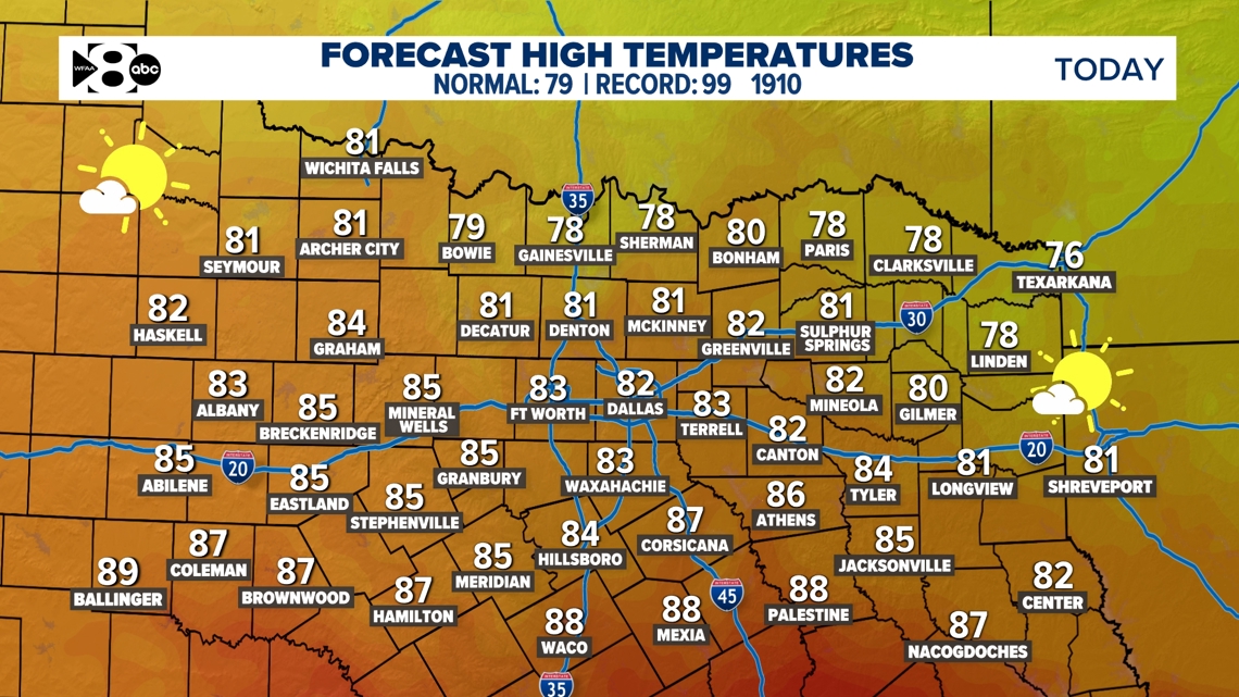
A reinforcing shot of cooler air moves in mid-week which will knock temps back down closer to normal.

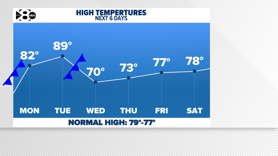
Any rain chances?
It's possible!
Next weekend a passing disturbance could bring back showers and storms. Right now, the weekend does not look to be a washout, but showers and storms are possible mainly on Saturday. We'll keep an eye on it as chances are not guaranteed at this point.

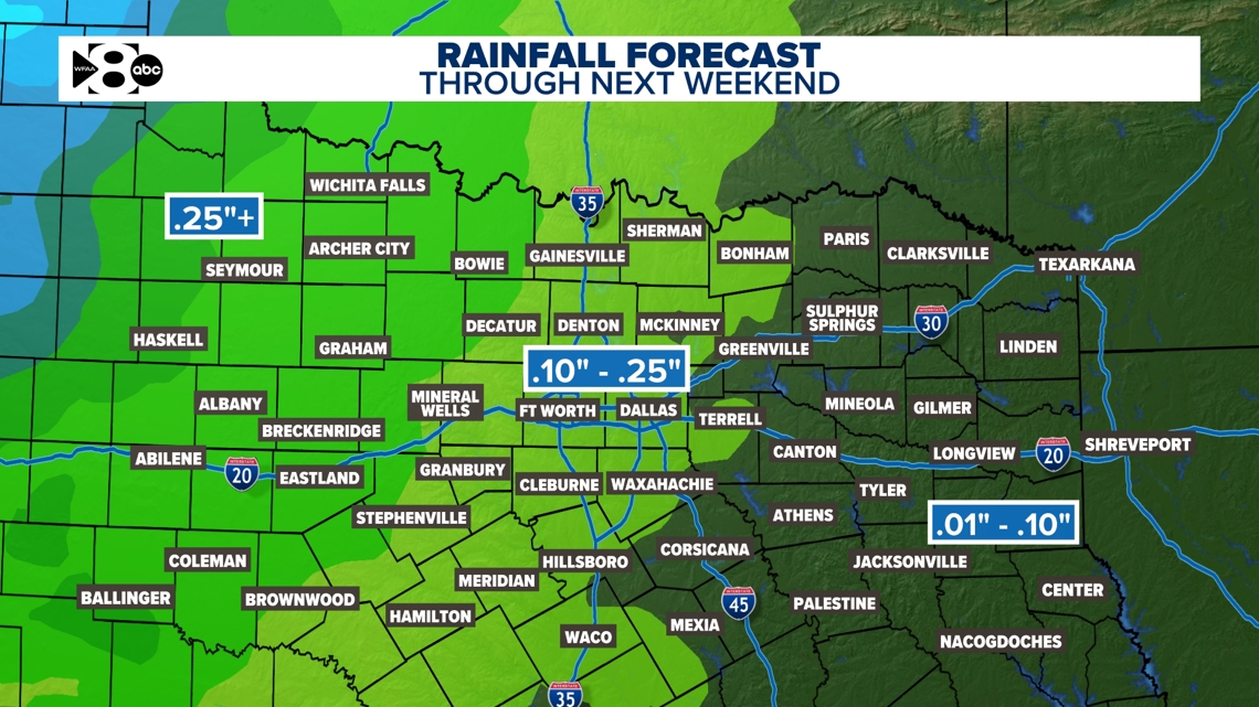
We need the rain!
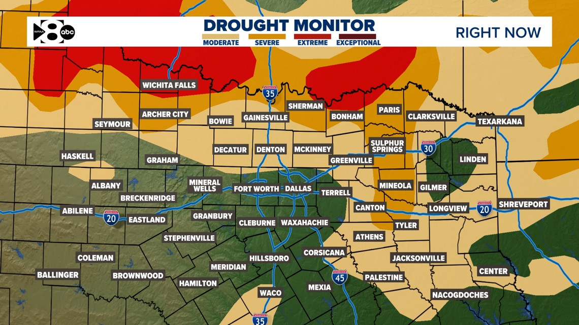
The latest drought monitor in North Texas shows we're in a fairly widespread moderate to severe drought. All was going so well until the summer! And it's only gotten worse since June. The good news? On average, North Texas sees 4.37 inches of rain in October, making it one of the year's wettest months. The bad news? The first half of the month looks like it'll be dry.
With the increasing drought concern, there is an elevated grassfire danger through the weekend.

14-day forecast

