DALLAS — Be sure to download the WFAA app to track the latest forecast and get alerts from our team.
After what was a very rainy spring, North Texas is still seeing thunderstorms. But they are not nearly packing as much of a punch as the storms we saw back in the spring with tornadoes, large hail, and damaging winds.
What changed?
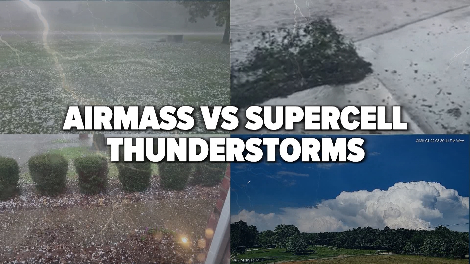
Our thunderstorms have changed to be more typical summertime thunderstorms. These are called "airmass", "ordinary", or "garden-variety" thunderstorms. The storms we saw in the spring that brought significant severe weather were "supercell" thunderstorms.
Here's a simple way to look at it: airmass thunderstorms are more like popcorn storms bubbling up and down vs. supercell storms which are big, powerful, and long-lasting.
Airmass thunderstorms
- Strength: Weaker, generally not severe
- Lifespan: Short, typically around an hour or less.
- Formation: Surface heating or along low-level boundaries mostly during the heat of the day.
- Rotation: Weak or non-existent.
- Threats: Heavy rain and lightning. Sometimes can have smaller size hail and strong wind gusts.
Supercell thunderstorms
- Strength: Powerful, can turn severe very quickly
- Lifespan: Long-lasting, can be hours at times.
- Formation: Favorable atmospheric conditions with strong wind shear and plenty of instability
- Rotation: Very likely with sometimes strong rotation throughout the thunderstorm
- Threats: Tornadoes, large hail, and damaging winds. Heavy rain and lightning are a given.
While airmass thunderstorms typically are only around during the summer months, supercell thunderstorms can form any time of year in North Texas if the conditions are right. We've seen supercells with destructive tornadoes outside of the spring because the conditions were favorable (October 2019, December 26, 2015, etc.).

