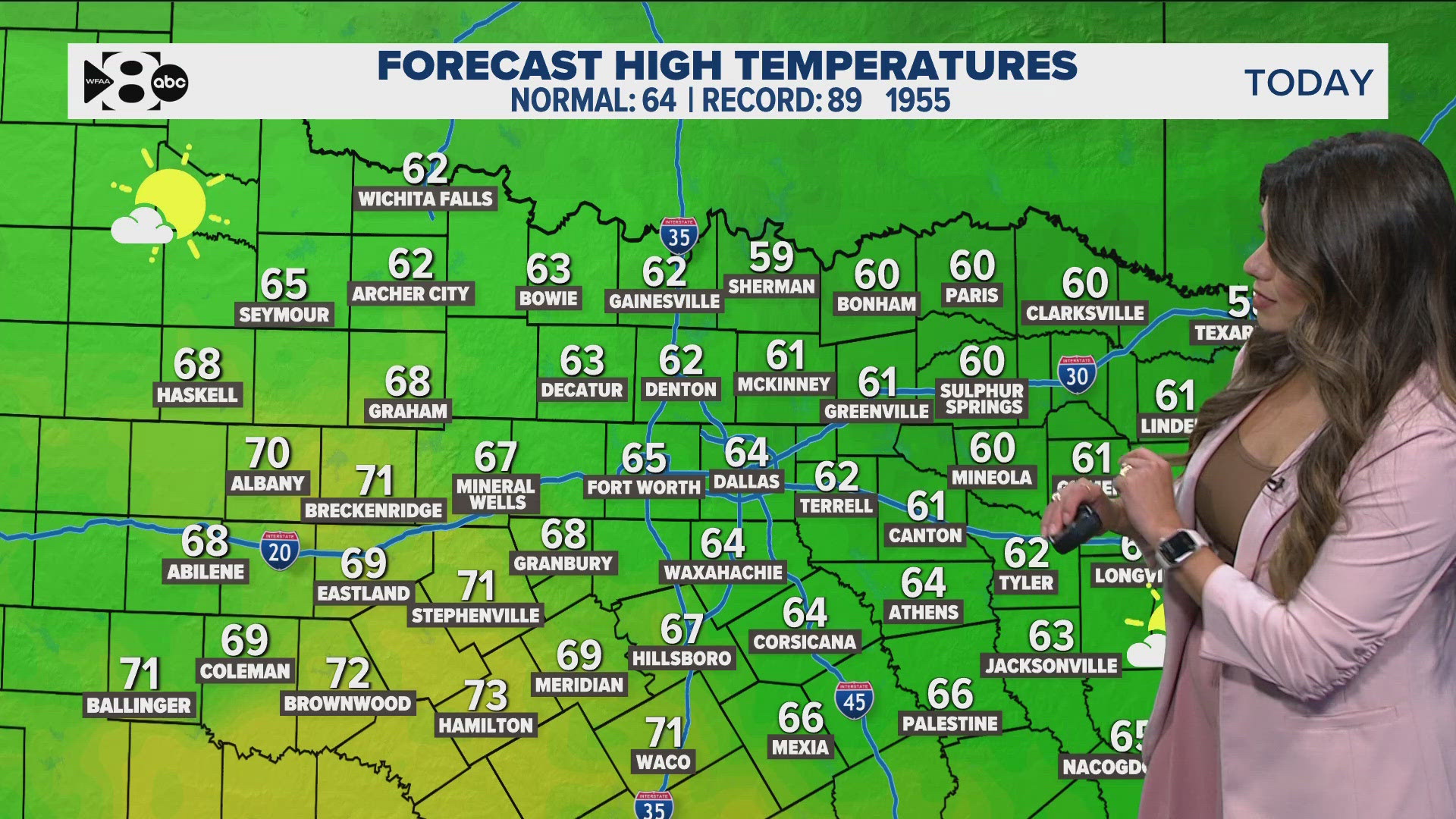
DALLAS — Download our free WFAA app to stay up-to-date on all news stories in the Dallas-Fort Worth area, including weather.
After an active week, more storms are on the way throughout the day and evening on Wednesday -- with large to very large hail the main threat.
Keep in mind, also, that dangerous heat is in this week's extended forecast, too.
Versión en Español: Tormentas y calor peligroso en el Norte de Texas esta semana
Quick facts:
- More storms are possible tonight
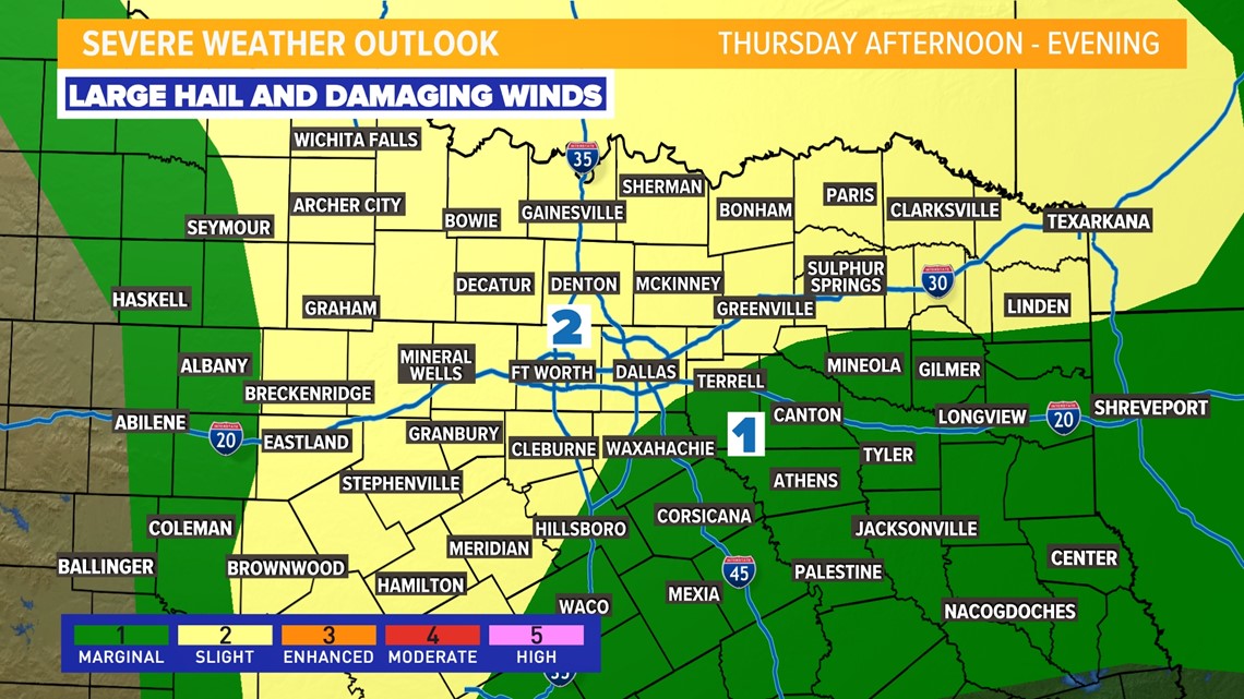
- Storms containing large hail and damaging winds are the primary concern
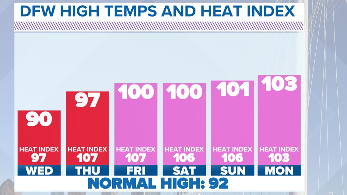
- Triple-digit heat is expected in the second half of the week
Live radar:
Tonight - Thursday
Scattered showers and storms are expected tonight. mainly southeast of the metroplex.
A Severe Thunderstorm Watch has been issued for all of the metroplex and most of North Texas until 10 p.m.

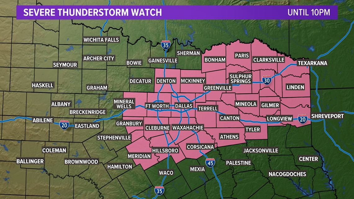
Very large hail is our concern with any storms that pop up.
We could see another round of storms late Thursday, as well.
After that, rain chances significantly lower and the heat cranks up.

Summer heat on the way
Wednesday will be the last day of "cooler" temps for most.
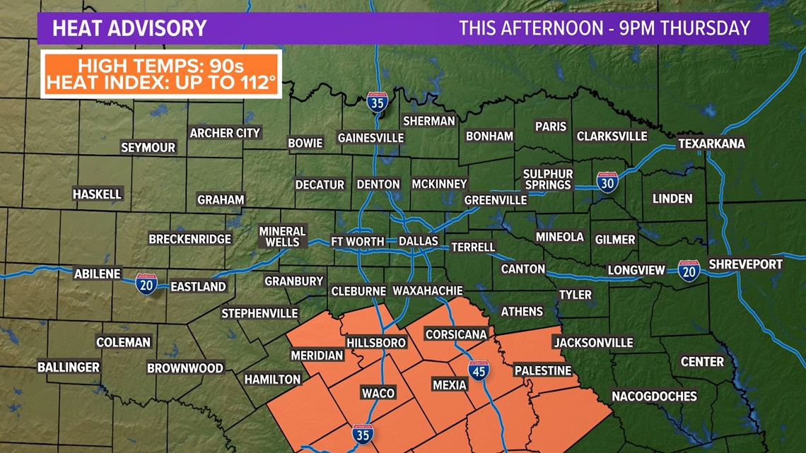
However, southern North Texas into Central Texas will still be quite hot with highs well into the 90s and heat index values 105° or hotter.

The rest of North Texas gets in on the heat action Thursday through the weekend and into next week.
Dangerous heat will be possible as heat index values can range from 105 to 110 degrees!
Be sure to take breaks and stay hydrated!

