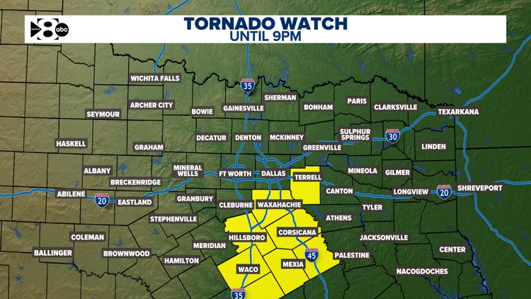
DALLAS — Watch live radar and regular forecast updates from our meteorologists throughout the storm window on our Smart TV streaming app WFAA+ and download the WFAA mobile app for alerts from our weather team as they come.
Grab the umbrella because the rain has returned to North Texas.
Live Radar
Quick headlines:
- Rain and storms ending overnight
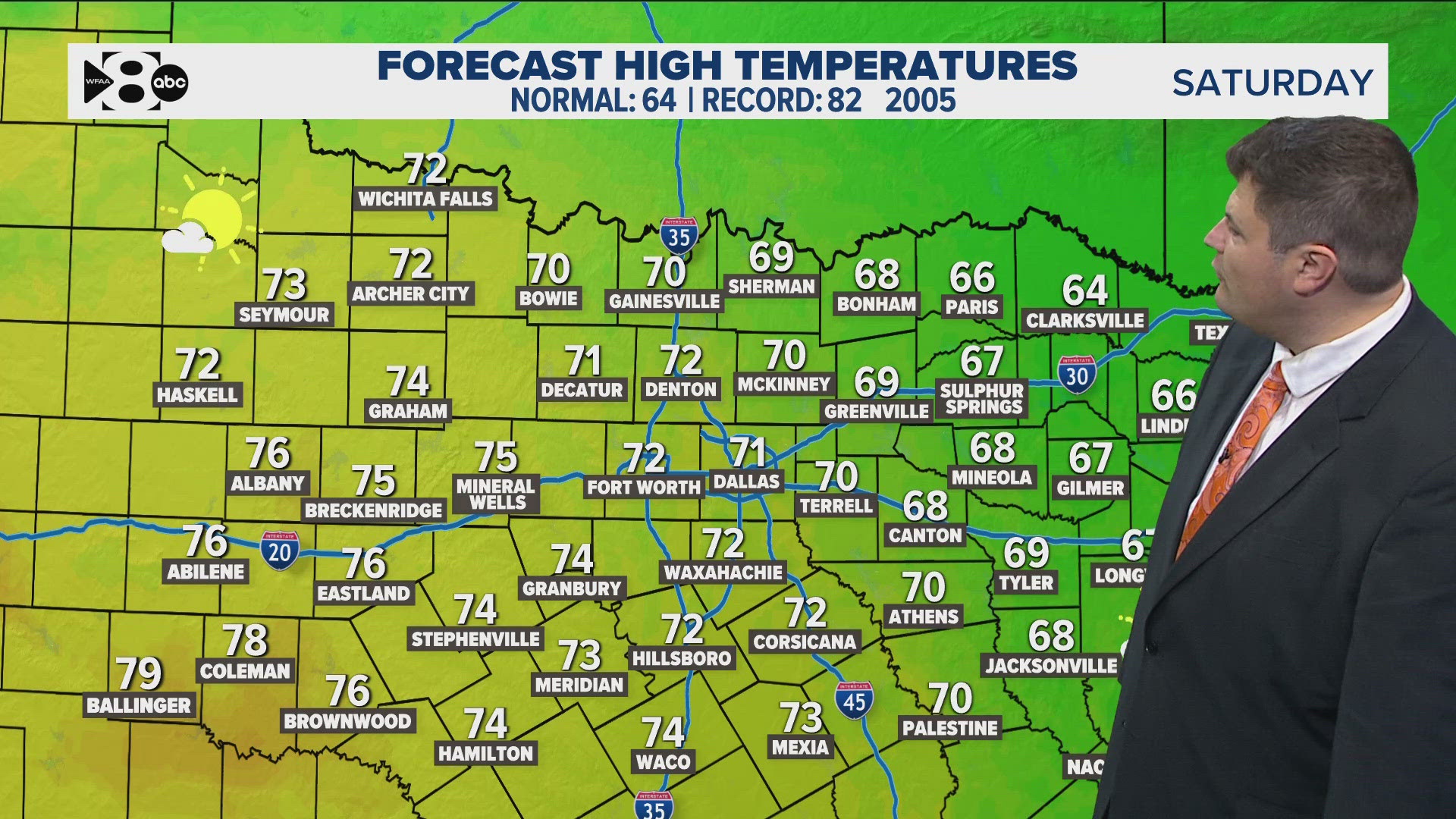
- Gorgeous weather this weekend
- Dry next week
DFW weather: Scattered storms continue on Friday
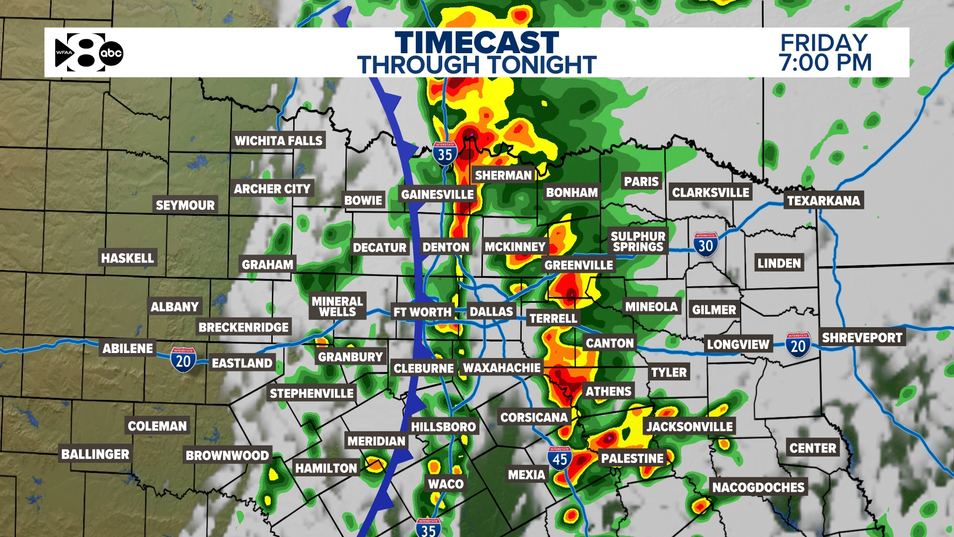
A round of showers and storms will move from west to east across North Texas sometime Friday into Friday night. As of now, the timing for DFW looks to be during the evening into nighttime hours. This means the Friday evening and Friday football game plans could be wet. Right now, the severe threat looks low but not zero. Can't rule out some storms with a wind/hail threat. Most of the rain should clear to the east early Saturday morning.
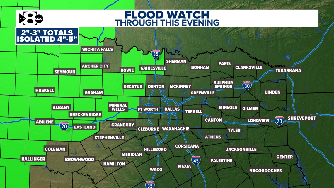
Due to rain Thursday night into Friday morning, a Flood Watch is in place for parts of western North Texas through Friday evening. This is due to heavy rain falling over the same area overnight. Additional rain is expected there throughout Friday. Be sure to avoid flooded roads!

DFW weather: Rain timeline
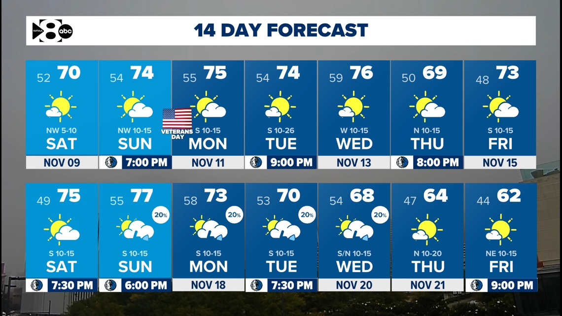
DFW weather: 14-day forecast for North Texas

