DALLAS — It wasn't a drought-buster, but it was just what we needed.
After a dry, scorching hot summer, the skies finally opened up in North Texas last week. And as a result, we saw our rainiest August on record at DFW Airport, where the official weather observations are recorded by the National Weather Service in Fort Worth.
The Weather Service on Thursday reported that DFW Airport saw 10.68 inches of rain in August, the bulk of that likely coming from last week's heavy downpours that led to widespread flooding across North Texas.
The 10.68 inches broke the previous August record of 10.33 inches that was set in 1915.
More rain was on the way to start September on Thursday.
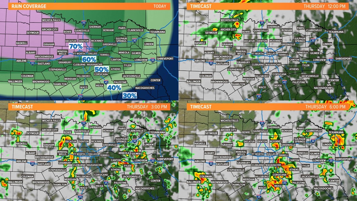
Coverage was expected to be widespread, with rain chances up to 70% for northwest areas of our region. Dallas rain chances were around 60%, with chances lessening further to the southeast.
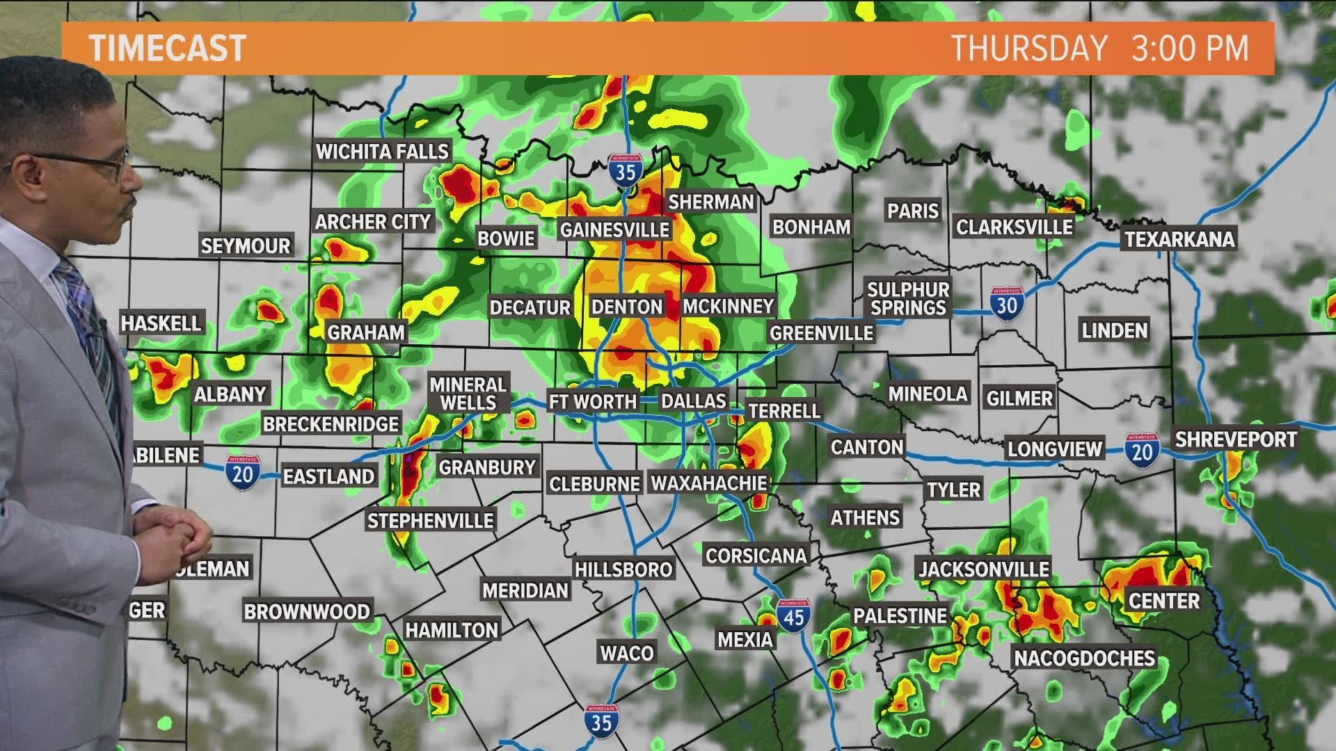
The rain was expected to start firing in the early afternoon, in areas west of Fort Worth, and then scattered showers are expected to move through the area into the afternoon and evening rush hour.


Rain chances will lessen on Friday and into the weekend, but they won't be zero.
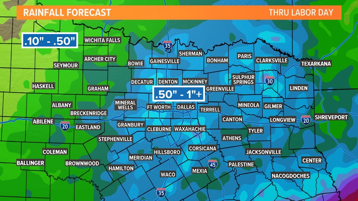
Since rain will be hit or miss, not everyone is guaranteed to pick up decent totals. But if you find yourself under a thunderstorm, you could pick up a quick quarter-inch to an inch of rain.


