DALLAS — The warm weather has returned to North Texas! But it won't last forever as much cooler weather returns later this week
Be sure to download the WFAA app for the latest weather and radar updates and alerts.
Here's a rundown of what we're expecting this week:
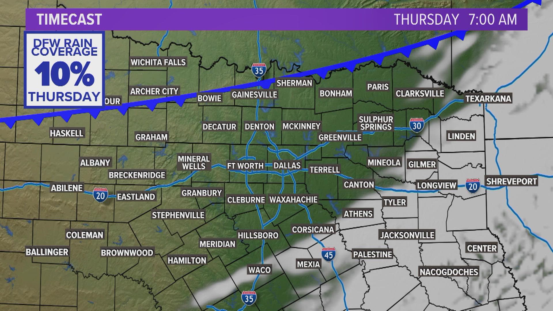
- Increasing clouds Thursday afternoon & evening
- Much cooler to end the week
- The weekend brings some showers and storms
Live radar
Warmest February day since 1996!
Our weather pattern is resembling spring a bit more this week!
The thermometer reached 90° at DFW Airport Tuesday afternoon and 81° Wednesday! That 90° high was the warmest February day since 1996.
It gets cooler
Cooler temps arrive for the end of the week. Friday brings bigger changes as highs will only be in the 50s. However, that cool-down is short-lived as the end of the weekend will be back above normal.


Rain is on the way, too
Soak in the sunshine we get Thursday, because Friday and the weekend look cloudy with rain. No day is a washout, but scattered showers and a couple storms are possible each day. The more widespread rain and storms move in Sunday night with a strong storm or two possible. Right now, the severe threat looks to stay northwest of our area. Stay tuned to the forecast as we fine tune the timing!


The next 10 days
The spring-like weather continues for the most part. We do have a couple of cooler days in the forecast, but overall, this is a rather warm forecast for this time of the year.


