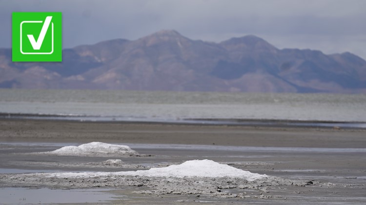
The Great Salt Lake, the largest lake in Utah and largest in the U.S. outside of the Great Lakes, began to trend in online searches after the New York Times posted a story titled “As the Great Salt Lake Dries Up, Utah Faces An ‘Environmental Nuclear Bomb’” on June 7, 2022.
Specifically, people asked if the Great Salt Lake was shrinking and what the water level history is for the lake.
THE QUESTION
Is the Great Salt Lake shrinking?
THE SOURCES
THE ANSWER
Yes, the Great Salt Lake is shrinking.
WHAT WE FOUND
The Great Salt Lake has been gradually shrinking over the last couple of decades. The water levels in the past year have consistently been at or near record lows.
Scientists measure water levels by recording the altitude compared to sea level of the lake’s surface at consistent points around the lake. They then estimate the surface area of the lake at that water level.
As of June 14, 2022, the lake’s water level was 4,190.6 feet above sea level, according to the Utah Division of Wildlife Resources (UDWR). The UDWR says that historically the water level has been around 4,200 feet, a loss of about 10 feet.
While that doesn’t sound like a major decline, the estimated surface area of the lake puts it in much better perspective. Historically, the lake has covered an area of about 1,700 square miles. When the lake was at 4,191 feet on Aug. 12, 2021, the lake spanned about 950 square miles or 44% of its normal surface area, NASA said. Although there aren’t any estimates of the lake’s 2022 surface area yet, the declining water levels suggest the surface area would be even smaller now.
A UDWR timelapse from 1984 – when the lake was at its highest point since the beginning of the 1900s – to 2022 clearly shows that the lake has been shrinking since shortly after 2000. A NASA side-by-side of the lake’s surface area between 2017 and 2021 shows a clear decline in the size of the lake, with the areas of Clyman Bay and Bear River Bay being some of the easiest spots to notice the difference.
NASA says that the Great Salt Lake has been shrinking for years because of human consumption of the lake water. Recent drought may also have an impact.
“For more than 150 years, humans have been taking more water out of this closed basin—for farming, industry, and human consumption—than is flowing into it,” NASA said. “Drought may have contributed to the recent drop in the lake, as have higher-than-normal temperatures. But according to scientists, there has not been a significant long-term change in precipitation in the basin.”
Prior to 2021, the lake’s record low water level was set in 1963, the U.S. Geological Survey (USGS) said. The Utah Division of Water Resources said the water’s elevation dropped to as low as 4,191.35 feet in 1963, when the lake’s surface area shrunk to approximately 950 square miles — similar to its size today. The lake reached its historic high in 1986 when it covered approximately 3,300 square miles with a water level at 4,211.65 feet.
A graph by the Utah Geological Survey visualizes just how steep the drop in the Great Salt Lake’s water level has been over the last two decades. It shows that despite the fact that the lake reached its peak water level in 1986, the lake’s water level has generally been in decline since 1930. Between 1847 and 1930, the lake had an average water level of 4,202.9 feet. From 1930 to 2015, the lake had an average water level of 4,198.2 feet. The water level has not been higher than that average since 2015.
More from VERIFY: Yes, cruise ships dump waste into the ocean


