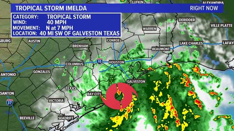
Tropical Storm Imelda formed in the Gulf of Mexico around noon Tuesday, about 50 miles southwest of Galveston. Because it's already in the process of moving onshore, Imelda will not strengthen any further.
The odds were against this disturbance forming into a tropical depression, let alone a named tropical storm, but Imelda made it happen in a short period of time.


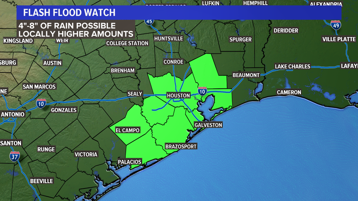
Flooding rain is a serious concern for parts of southeast Texas. Flash flood watches have been issued in Houston, Galveston and surrounding areas. As much as 8 inches of rain could fall in the next 48 hours.
The track of Imelda does bring a chance of showers and storms into North Texas, but many will be left disappointed.
At this time — and this could change — the track of Imelda and its eventual remnants, look to bring the heaviest rain to areas south of Interstate 20 and east of the Interstate 35 corridor.
This section of North Texas could see some isolated flash flooding by the end of the week.


For the Dallas-Fort Worth area, scattered showers and storms are possible Thursday and Friday, but the widespread, beneficial rain we've been asking for doesn't appear likely at this time.
That, again, looks to stay primarily east of the area. A lot can change between now and the end of the week, so we'll keep adjusting the track and location of heaviest rainfall in the days to come.


