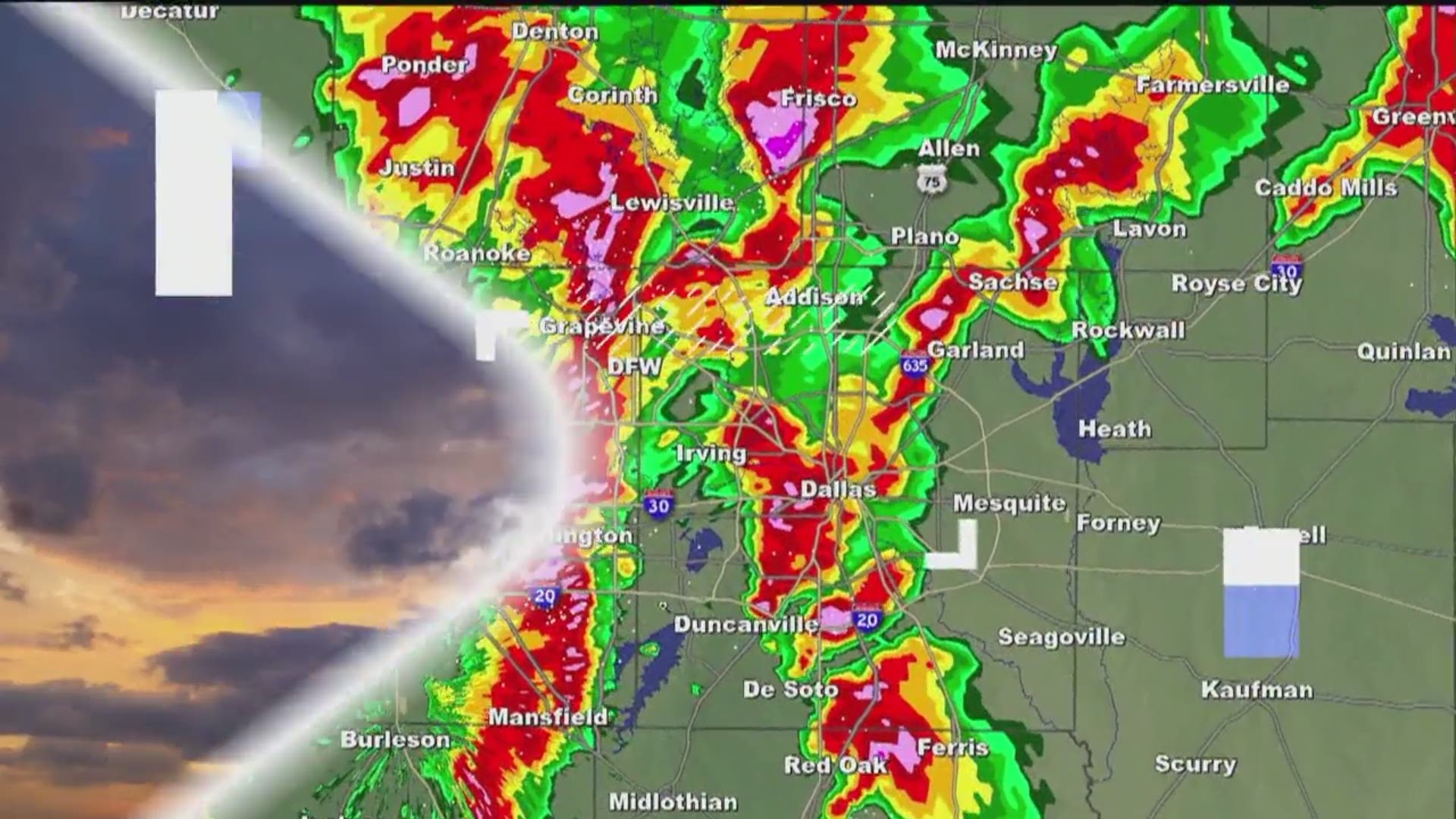
Welcome to spring in North Texas!
Showers and storms will be out there again today, this time mainly during the afternoon into evening. While the severe threat is not zero, it is very low for most of North Texas.
SUNDAY
Fog, some dense, will be around through the mid-morning hours before visibility improves the rest of the morning. Besides drizzle, most of North Texas stays shower and storm-free this morning. The exception is far southern and southeastern North Texas where some showers and storms may move into those areas this morning.
Showers and storms will spread from south to north this afternoon into this evening. Highest coverage of rain will be across eastern and southeastern North Texas into East Texas. This is also the area that has a higher threat for a strong to severe storm this afternoon and evening. Main threats are hail and wind, but an isolated tornado cannot be ruled out.


For the DFW area, showers and storms will drift into the DFW area this afternoon and evening, but the severe weather threat remains very low. In fact unless you find yourself under a thunderstorm, rainfall will likely only be light to moderate.
SUNDAY EVENING THRU SUNDAY NIGHT
Lingering showers and storms will continue mainly across eastern North Texas into East Texas. As a cold front moves into North Texas, isolated thunderstorms may develop along that front. If these occur, they could become strong to severe with a hail and wind threat. Any severe storms would be isolated, so the overall severe threat for the DFW area and North Texas is very low.
MONDAY
A few lingering showers are possible first thing in the morning across eastern North Texas, but most of the area will be dry. Clouds will hang around before clearing the rest of the of day with sunshine and highs around 80° Monday afternoon.
FLOODING
Last mention is the potential for some localized flooding, mainly for locations east and southeast of the DFW area into East Texas today. These locations are the places that saw the bulk of the rain yesterday, and will see more widespread rain today. Therefore, localized flooding is possible. Additional rainfall totals of 2-4 inches are possible.
Want more? Download our free WFAA app to stay up-to-date on all news stories in the Dallas-Fort Worth area, including weather radars and weather alerts.

