DALLAS — When you stepped outside Wednesday morning, it was likely the first thing you saw.
Because there wasn't much else to see.
Fog enveloped North Texas on Wednesday morning, and it might have led to a few eerie views on the morning commute.
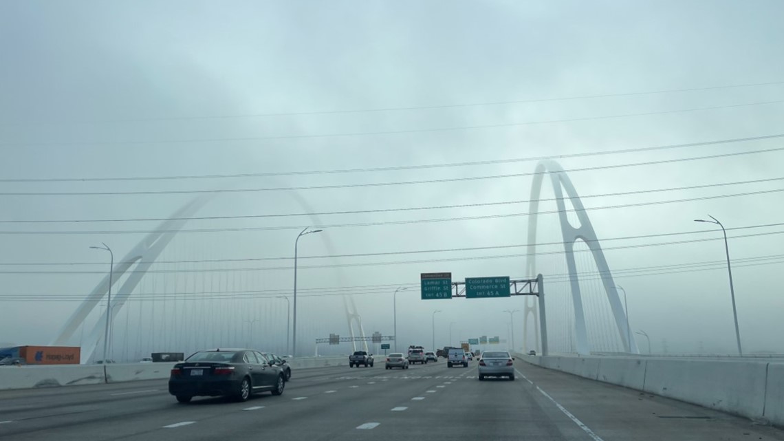
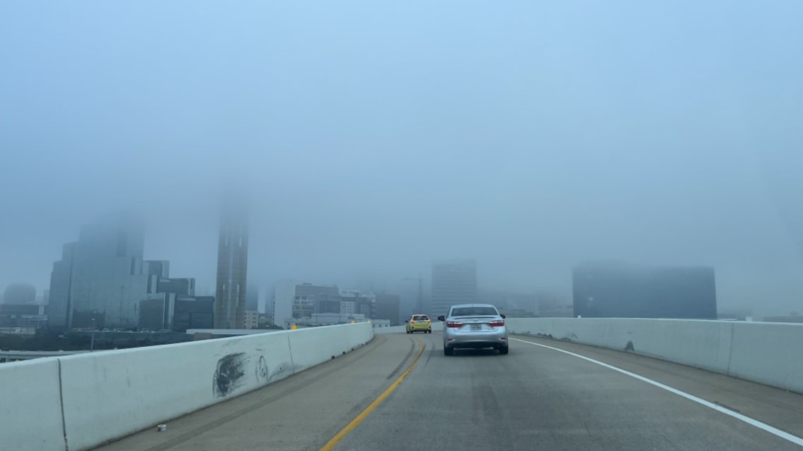
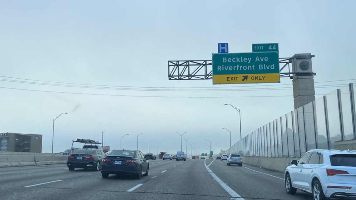
That included the below pictures from WFAA content editor Itzel Hernandez, who was driving into downtown Dallas on Interstate 30. Normally, drivers get a nice view of the downtown skyline, including Reunion Tower.
On Wednesday morning, there was no view to be had.
Fog completely covered downtown, making it nearly invisible, even from as close as the Margaret McDermott Bridge.


Why was it so foggy in North Texas? We're glad you asked.
The simple explanation is that our dewpoint, fueled by moisture from the Gulf of Mexico, and our temperatures were about the same.
Morning temperatures were in the upper 50s, while the dewpoint reached the lower 60s. When this happens, heavy fog can form.
When the fog clears out, the skies will be clear and the temps will climb into the 70s on Wednesday.
Friday storm timeline
The calm fall weather will change Friday.
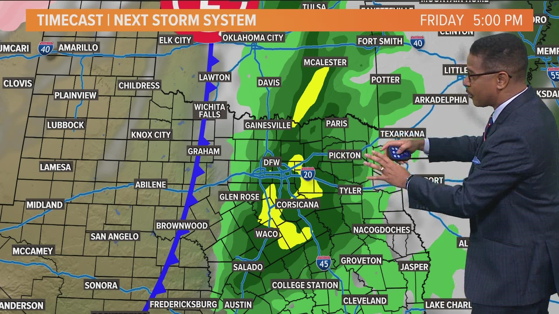
Widespread rain looks most likely Friday afternoon through early Friday night. But some scattered rain looks possible during the day Friday.
The main threat Friday will be strong winds and large hail during the afternoon hours. Strong winds will be the main threat during the late evening hours.
The Storm Prediction Center (SPC) has most of North Texas under a slight risk (2/5) for severe weather.
Most rain will move off to the east through the nighttime hours with most places dry by daybreak Saturday. The highest rain accumulations will be north and northwest of the metroplex.

