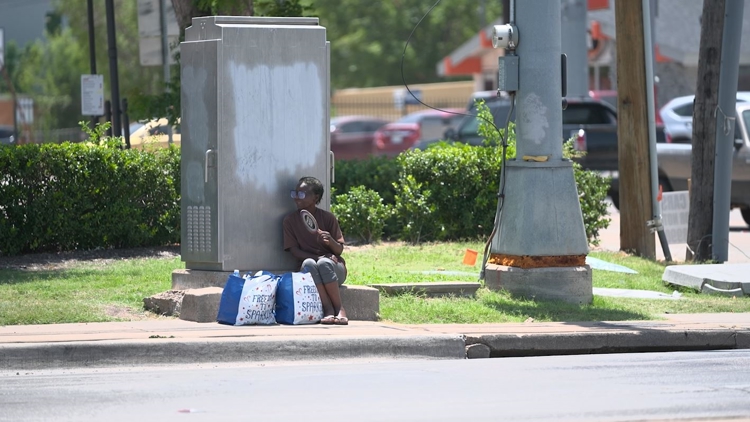
DALLAS — The City of Dallas will collect data to map where people are most at risk for extreme heat.
A recent study by the City of Dallas and the National Oceanic and Atmospheric Administration shows some areas of Dallas are up to 10 degrees warmer than others.
For that study, about 100 square miles of the city were studied for one day in August of 2023. The study showed neighborhoods like Love Field, Medical District, Oak Lawn, Oak Cliff and Deep Ellum saw higher temperatures than areas like William Blair Jr. Park that have more greenery.
The remaining approximately 245 square miles of Dallas will be mapped on Aug. 10, 2024. As part of that effort, volunteers will drive prescribed routes to record ambient temperatures during three specific times throughout the day.
Areas in the study include Kiest Park, Mountain Creek, Pleasant Grove, Buckner Terrace, Bahama Beach Waterpark, Lakewood, Casa View, North Dallas, Far North Dallas, Cypress Waters, Northwest Dallas, and others.
The data from the studies supports Dallas' Office of Environmental Quality and Sustainability’s environmental and climate action plan. Though the topic of heat isn't specified, it's tied into their initiatives, including the heat island study and planting more trees.
The 2023 study showed industrial-commercial areas had more concentrated heat during the day and fully shaded streets reduce residents’ exposure to high temperatures. Neighborhoods with more asphalt and cement get hotter because those materials trap heat.
Residents interested in participating in the study next month can sign up here.


