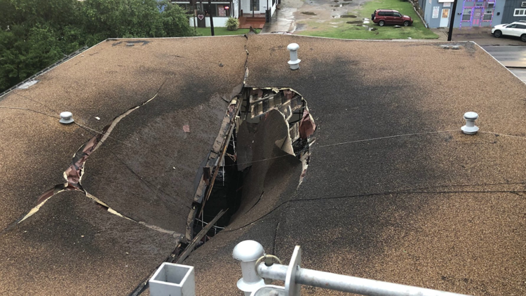
DALLAS — 5:07 p.m. Update: Lingering showers and storms will continue for the DFW area, but the severe threat has ended. While additional scattered showers and storms are possible into evening, the severe threat is done for the day.
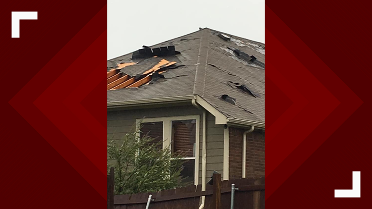
Severe threat has shifted into eastern and southeastern North Texas. Strong, damaging winds are the main threat. Storms already produced damaging winds of 60 to 70 mph when they were in the DFW area, so additional damaging wind gusts are possible as they move east. In addition to wind, heavy rain and frequent lightning are likely. Heavy rain could cause flooding in some locations.
Severe weather causes more problems for North Texas
While storms in the DFW area are no longer severe, any additional rain could cause ponding or water on the roadways.
Download our free WFAA app to stay up-to-date on all news stories in the Dallas-Fort Worth area.
Most of North Texas should be storm-free by late evening into nighttime hours.
4:20 p.m. UPDATE: A Severe Thunderstorm Warning is in effect for Ellis County. Damaging winds up to 65 MPH are expected. Please seek shelter.
4:15 p.m. Update: A severe thunderstorm warning is now in effect for parts of the metroplex until 4:30 p.m.
4:04 p.m. Update: The Tornado warning has expired, but there is a Severe Thunderstorm Warning for parts of the metroplex until 4:45 p.m.
3:33 p.m. Update: A Tornado Warning has been issued for the northern half of Dallas County until 4 p.m.
3:18 p.m. Update:
A Severe Thunderstorm Warning has been issued for all of Tarrant County and the southern part of Denton County. 65 mph winds are the main threat.
Download our free WFAA app to stay up-to-date on all news stories in the Dallas-Fort Worth area.
2:40 p.m. Update:
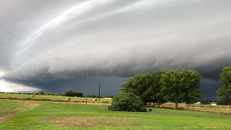
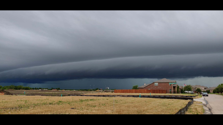
A complex of storms is ongoing across western North Texas. Those storms are getting closer to the western sides of the DFW area. Also scattered t-storms are forming ahead of this complex in and around western parts of the Metroplex.
Main threat with any severe storms continues to be damaging winds, but isolated pockets of large hail are possible too.
1:10 p.m. Update:
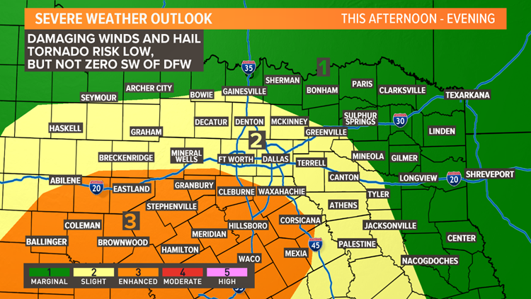
A Severe Thunderstorm Watch has been issued for the western half of North Texas including the DFW area until 8pm this evening.
THIS AFTERNOON AND EVENING
This is the tricky part of the forecast: exactly where and when we will see storms this afternoon and evening.
Any boundaries left over from this morning's storms will likely be a favored area of redevelopment. Chances look best in areas that did not see showers or storms late night into this morning.
There are some signals of another round of T-storms developing in western and northwestern North Texas late this afternoon into this evening. That round of T-storms then moves south and east during the evening into nighttime hours moving across North Texas including the DFW area.
Timing and exact placement of that round of storms is VERY uncertain. It may hold off until tonight, or fire earlier than expected.
Severe threat looks highest in areas that did not see storms last night into this morning. That would be mainly southwestern and southern North Texas. However, strong to severe storms will be possible anywhere in North Texas. Not everyone will see severe storms, but they are certainly possible. Main severe threat is damaging, downburst winds. Strongest storms could have some hail as well. Tornado threat is quite low, but not zero. While severe storms could happen anywhere, the most favored area looks to be locations that did not see storms last night and this morning, which is western and southwestern North Texas.
BOTTOM LINE
Many of you will be out Sunday celebrating Father's Day with cookouts, boating and other outdoor activities. Please make sure you have a way to stay informed on the go. Download the WFAA app so you can track radar and get weather alerts as they're issued. Also, follow our meteorologists on Facebook and Twitter. We post frequent updates throughout the day when severe weather is imminent.


