ARLINGTON -- Researchers at the University of Texas at Arlington have dispatched a flying survey tool that could very soon save cities time and money after a natural disaster.
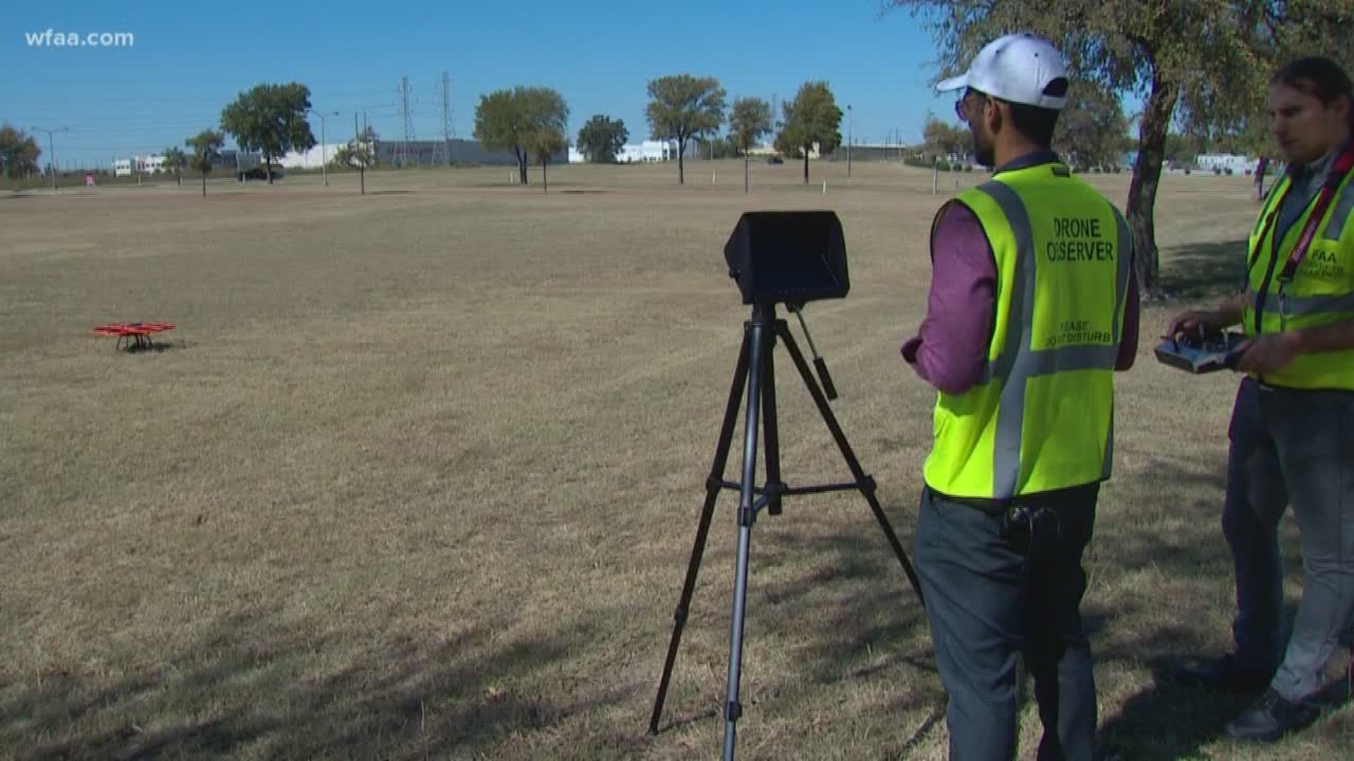
"We plan a flight plan where we can see -- these are the way points through which the drone is going to navigate autonomously using the GPS satellites," Surya Congress, the doctoral student behind the project, said.

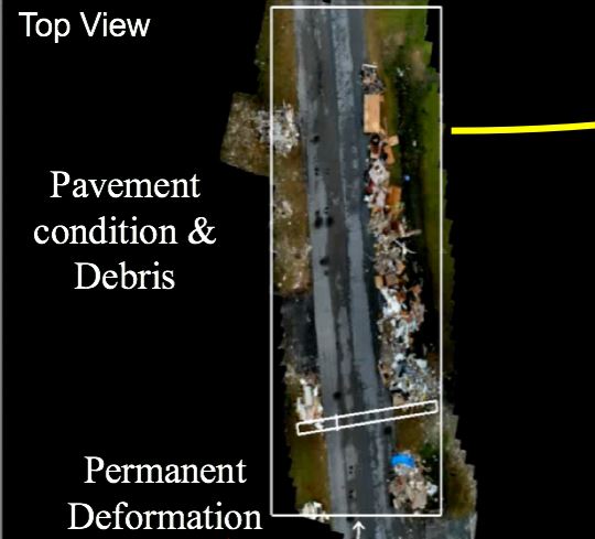
A team from the UTA Research Institute used a drone mounted with a camera to gather thousands of pictures of debris left outside homes in Beaumont by Hurricane Harvey.
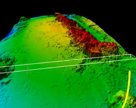
The pictures are combined using sophisticated 3-D mapping software to produce a complex map that shows height, width, and depth of the damage.
It's all part of a $34,000 grant from the National Science Foundation.
"By using some of the tools that we are developing, they should be able to get a good grip on what is the amount they need to clean up," said Dr. Anand Puppala, an associate dean for research in UTA’s College of Engineering and a professor in the Civil Engineering Department. He's also the principal investigator on the grant.

In the future, maps like this could be used to help a city decide where it sends resources and can even show damage to roadways down to the centimeter. Their flights in Beaumont were carefully executed by a Federal Aviation Administration licensed pilot and a second visual observer -- but in the future they hope to have a fully autonomous system in place that could provide real-time, real-world mapping that could save precious resources for a city already spread thin.
"Right now the UAVs have tremendous potential. We are probably just scratching on the outer surface," Puppala said.

