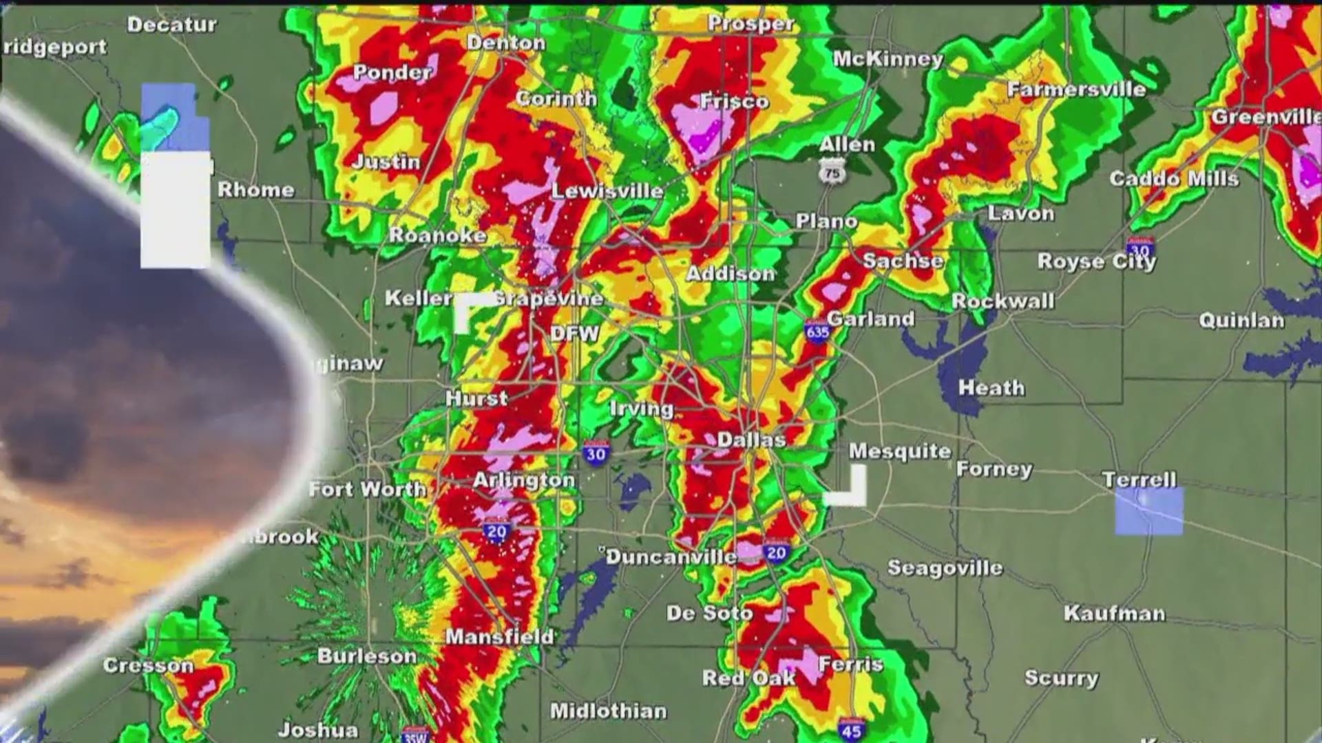
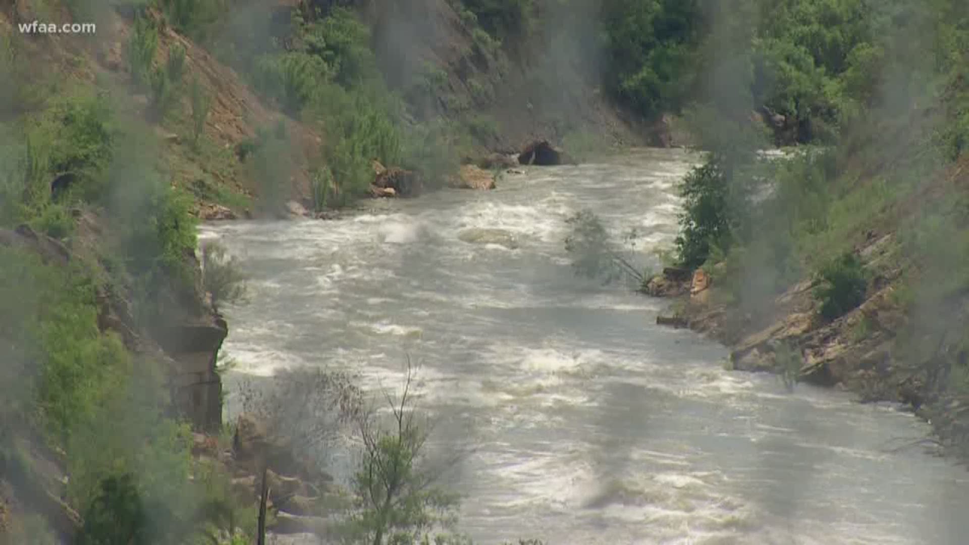
DALLAS — Keep an eye out for flooded water and standing water on the roads. A Flash Flood Watch has now been extended through Saturday morning for most all of North Texas.
Flooding and high-water rescues were reported late Wednesday night and continued into early Thursday morning.
The Fort Worth Office of Emergency Management said the fire department was working "several high-water rescues" and warned residents to "stay off the roads if possible." A small, white SUV was swept away on a flooded street in a southwest Fort Worth neighborhood.
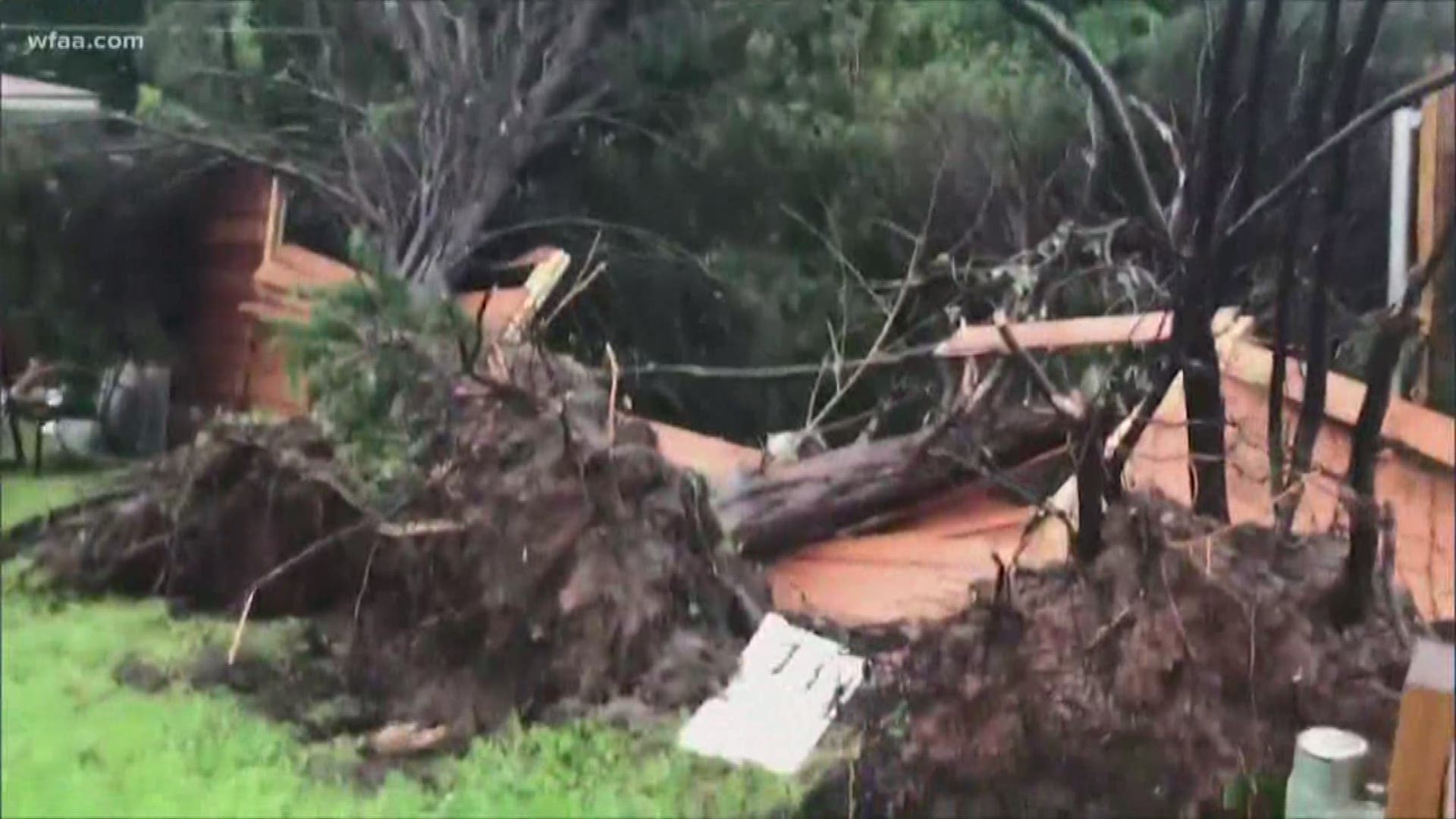
Along with heavy rain, there were also reports of high winds and hail. Storm spotters reported penny-sized hail in Collin County.
First Baptist Church in Lavon had flooding issues with about a few inches of water across the property. Church members came to help clean and prepare, placing sandbags at the entrances.
Meanwhile, the late-night, early-morning storms put on a light show for much of North Texas.
Heading through the rest of Thursday, the bulk of the activity will stay south of DFW. That's also the most likely area for heavy rain and stronger storms. Overnight, showers will return to parts of North Texas. Plan for some rain around for the Friday morning commute. Additional showers and storms likely Friday afternoon and evening. Some storms could be strong to severe.
It does look like North Texas will see a break in the rain Saturday and Sunday. But that break doesn't last long. The unsettled weather pattern will dominate the next week of May.
Remember, not everyone in North Texas will see severe storms or heavy rain this week. However, you need to stay weather aware and make sure to check back frequently for updates.
Remember to download the WFAA app to check one of our dozens of local radars near you as well as the latest forecast, cameras and current conditions.
Check Weather Alerts here


